Select Item below to DOWNLOAD - Once item is selected, right click and choose 'save as'
6d72a703a77c47078de3eb9f727f3cb1
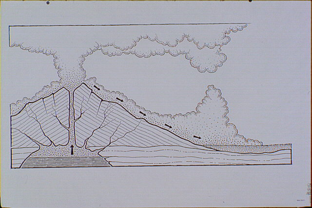
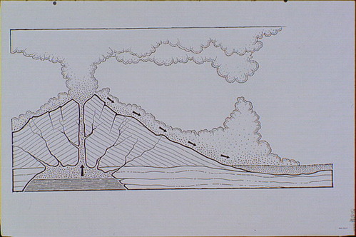
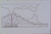
Geological cross-section of the eruption of a glowing avalanche on Mount Mazama. The view is to the west, with Mount Mazama on the left and the Pumice Desert area on the right.
Geological cross-section of the eruption of a glowing avalanche on Mount Mazama. The view is to the west, with Mount Mazama on the left and the Pumice Desert area on the right.
Illustration based on drawings depicting the culminating eruptions done by Howell Williams appearing on page 104 of "The Geology of Crater Lake National Park".; Abbr=WE
U.S. National Park Service
Reflective Art
Government owns art and all reproduction rights.
Public domain
Image
Crater Lake National Park, Code: CRLA
Crater Lake National Park, Oregon
Latitude: 42.9442710876465, Longitude: -122.135299682617
Latitude: 42.9442710876465, Longitude: -122.135299682617
Image Management System : IMS 00631
20190904
01/01/1985 - 12/30/1985
Exhibit 22/Graphic # 22-7
Q5
Public Can View
Organization: Harpers Ferry Center
Address: Harpers Ferry Center, 67 Mather Place, Harpers Ferry, WV, 25425, 304-535-5050
Address: Harpers Ferry Center, 67 Mather Place, Harpers Ferry, WV, 25425, 304-535-5050
Monday, October 7, 2019 3:10:38 PM
Monday, October 7, 2019 3:10:38 PM
00631.JPG
jpg
63.3 kB
Museum