Select Item below to DOWNLOAD - Once item is selected, right click and choose 'save as'
6829ccfe-5d4b-4ef0-8c0e-a045f0c5bb47
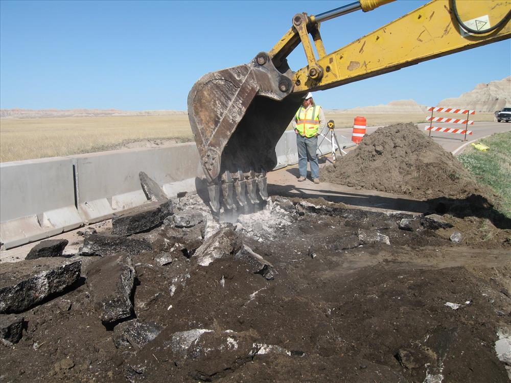
MATOC_Loop_Road_Culvet_Replacement_2012
SHowing before, during and after
Before,
U.S. National Park Service
Permission must be secured from the individual copyright owners to reproduce any copyrighted materials contained within this website. Digital assets without any copyright restrictions are public domain.
Public domain
Image
Badlands National Park, Code: BADL
Badlands National Park, South Dakota
Latitude: 43.8339996337891, Longitude: -102.393898010254
Latitude: 43.8339996337891, Longitude: -102.393898010254
PMIS (Project Management Information System) : PMIS: 146367
FMSS (Location Number) : FMSS Location: 43372
Legacy NPS Focus Record ID : 478896
FMSS (Location Number) : FMSS Location: 43372
Legacy NPS Focus Record ID : 478896
04/30/2012
04/30/2012
Born Digital
Public Can View
Wednesday, August 1, 2012 11:24:37 AM
Wednesday, August 9, 2017 10:26:40 PM
BADL-8261bf094da84e36bad6bb49083cf0c8.jpg
Canon Canon, Canon PowerShot SD550
1/320 sec at f / 7.1
7.7 mm
Monday, April 30, 2012 3:54:43 PM
jpg
3.9 MB
Source: Legacy Focus Resource Type
Content: Digital data
Content: Digital data
Inventory
,
Budget