Select Item below to DOWNLOAD - Once item is selected, right click and choose 'save as'
680aa6fe-7749-4ccd-aec4-9a9dfad3d649
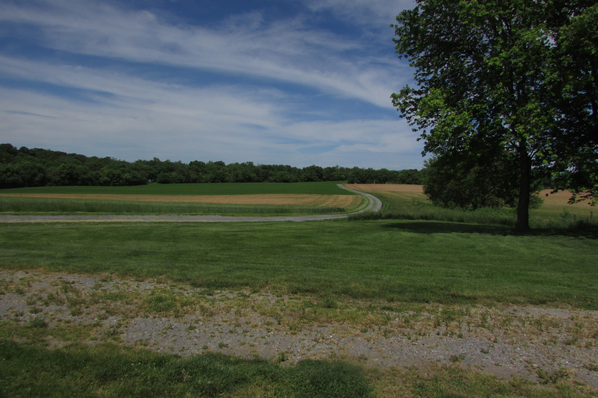
Thomas Farm Roads and Fields
A trace road in the foreground and a curving road extending through an open field, with a leafy tree to the right.
Many of the roads and fields of Thomas Farm are contributing landscape characteristics. Natural systems and features, such as the area's fertile soil and streams, influenced the agricultural use and appearance of the landscape that impacted the battle. Historic circulation patterns still exists on the property. Although some primary roads through the area have been rerouted and internal farm circulations has also changed, traces of original roads remain.
Permission must be secured from the individual copyright owners to reproduce any copyrighted materials contained within this website. Digital assets without any copyright restrictions are public domain.
NPS / NCR CLP 2019
Public domain:Full Granting Rights
Image
Monocacy National Battlefield, Code: MONO
National Capital Region, Code: NCR
National Capital Region, Code: NCR
Monocacy National Battlefield, Frederick County, Maryland
Latitude: 39.3577003479004, Longitude: -77.4024963378906
Latitude: 39.3577003479004, Longitude: -77.4024963378906
05/20/2019
05/20/2019
Public Can View
Wednesday, June 5, 2019 12:12:05 PM
Wednesday, June 5, 2019 12:12:05 PM
MONO_Thomas Farm_2019_05_21_N_ Thomas fields and road .JPG
Canon Canon, Canon PowerShot SX500 IS
1/1000 sec at f / 6.3
4.3 mm
ISO 100
Tuesday, May 21, 2019 4:42:46 AM
jpg
3.5 MB
Scenic