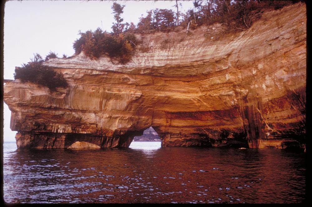
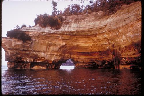
Views at Pictured Rocks National Lakeshore, Michigan
Multicolored sandstone cliffs, beaches, sand dunes, waterfalls, inland lakes, wildlife and the forest of the Lake Superior shoreline beckon visitors to explore this 73,000+ acre park. Attractions include a lighthouse and former Coast Guard life-saving stations along with old farmsteads and former logging trails. The park is a four season recreational destination where hiking, camping, hunting, nature study, and winter activities abound. At its widest point the Lakeshore is only five miles and hugs the Superior shoreline for more than 40 miles. This was the first National Lakeshore and was authorized in 1966.
Sea cave
National Park Service
Permission must be secured from the individual copyright owners to reproduce any copyrighted materials contained within this website. Digital assets without any copyright restrictions are public domain.