Select Item below to DOWNLOAD - Once item is selected, right click and choose 'save as'
65ed4062-ccf1-4906-893e-8e3c434c217e
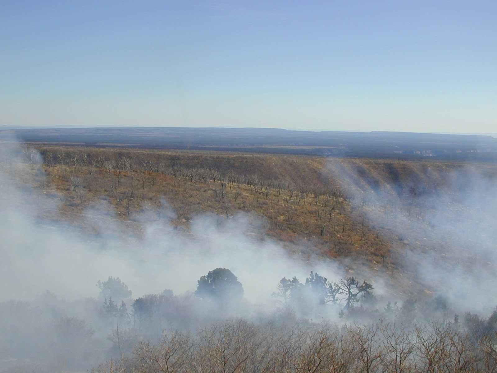
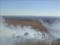
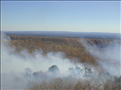
Smoke patterns during the Far View prescribed fire, November 2001
Smoke patterns during the Far View prescribed fire, November 2001. Throughout most of the day, smoke production was light to moderate on Burn Unit 2, and drifted to the northwest. Heavy smoke was observed when large oak thickets burned, forming a plume that rose to at least 1500 feet. Dispersal was generally good throughout the burning period. Fuels were lighter on Burn Unit 1, producing light smoke that drifted to the northwest and rose no higher than 200 feet. Around 1600, as upslope winds began to shift downslope, dispersal started to become poor. After 1700, downslope winds began to carry smoke into Soda Canyon from all parts of the burn.
National Park Service
Permission must be secured from the individual copyright owners to reproduce any copyrighted materials contained within this website. Digital assets without any copyright restrictions are public domain.
Public domain
Prescribed burning, (LCSH)
, Parks -- fire management, (LCSH)
, Fire protection, (LCSH)
, Fire ecology, (LCSH)
, Parks -- fire management, (LCSH)
, Fire protection, (LCSH)
, Fire ecology, (LCSH)
Image
Mesa Verde National Park, Code: MEVE
Fire and Aviation Management Program, Code: FIRE
Fire and Aviation Management Program, Code: FIRE
Mesa Verde National Park, Montezuma County, Colorado
Latitude: 37.2234992980957, Longitude: -108.500999450684
Latitude: 37.2234992980957, Longitude: -108.500999450684
Legacy NPS Focus Record ID : 231123
07/16/2003
11/02/2001
Digital image (JPG ; 60.1 KB ; 1600 x 1200 ;300 dpi; 24 bit color). Encoded as MrSID format
Public Can View
Wednesday, September 29, 2004 6:25:55 PM
Wednesday, August 9, 2017 10:03:30 PM
meve-farviewrx-nov01_62.jpg
Monday, January 1, 0001 12:00:00 AM
jpg
132.2 kB
Events
Smoke patterns during the Far View prescribed fire, November 2001
Smoke patterns during the Far View prescribed fire, November 2001
Smoke patterns during the Far View prescribed fire, November 2001
Smoke patterns during the Far View prescribed fire, November 2001
Smoke patterns during the Far View prescribed fire, November 2001
Smoke patterns during the Far View prescribed fire, November 2001