Select Item below to DOWNLOAD - Once item is selected, right click and choose 'save as'
64e2af63-c431-41ef-9781-fca797edf0d3
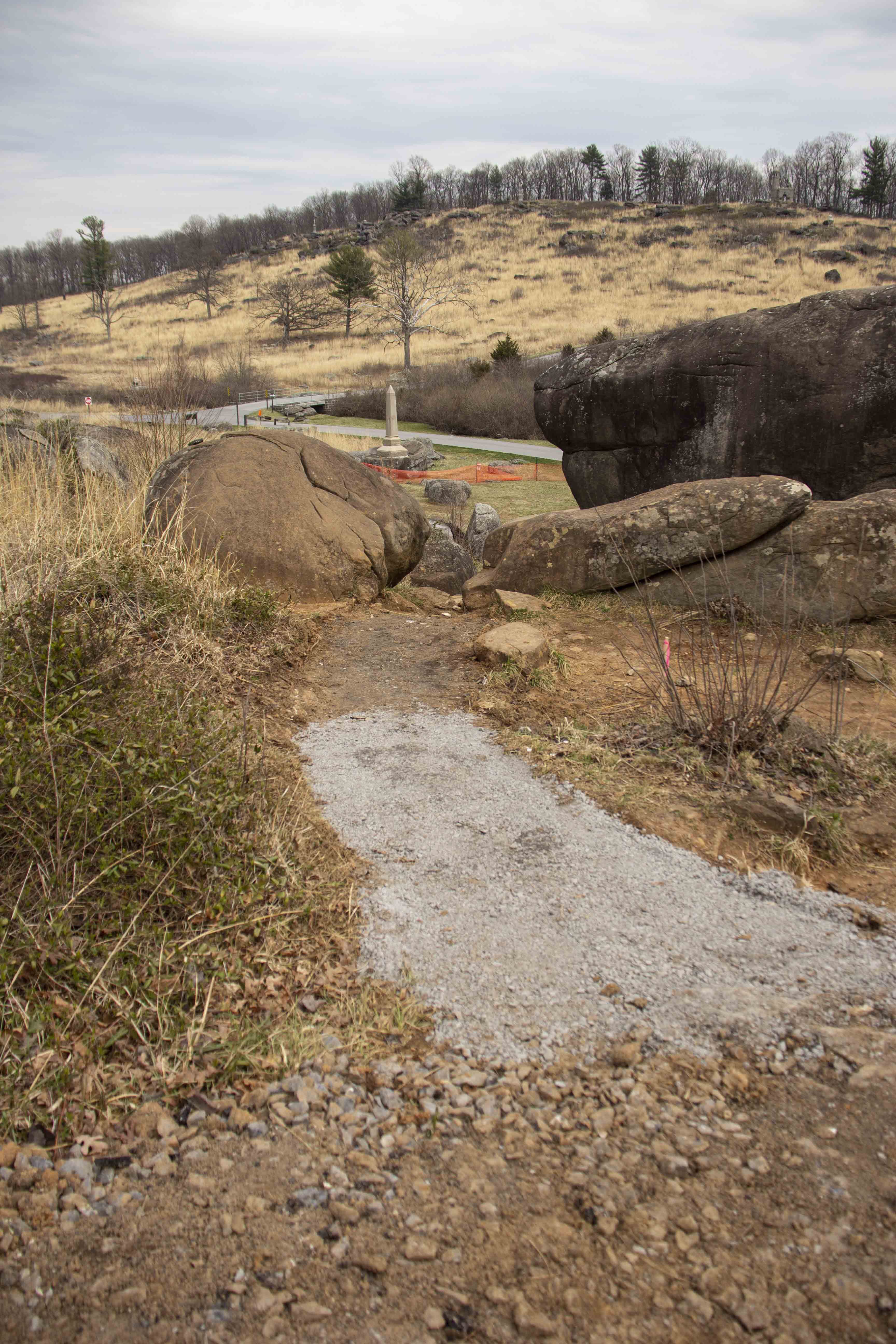
Cleared Path at Devil’s Den
The focus of the frame is a dirt path with its pavement recently removed leading vertically up the frame and down a slope. There is gravel visible on the path near the camera. There are large boulders on either shoulder of the path up ahead. In the far distance down the slope is a stone obelisk surrounded by orange construction fencing.
A view of a path at Devil’s Den with the pavement recently removed.
Permission must be secured from the individual copyright owners to reproduce any copyrighted materials contained within this website. Digital assets without any copyright restrictions are public domain.
NPS Photo
Public domain:Full Granting Rights
Image
Gettysburg National Military Park, Code: GETT
Gettysburg National Military Park, Adams County, Pennsylvania
Latitude: 39.804500579834, Longitude: -77.2384033203125
Latitude: 39.804500579834, Longitude: -77.2384033203125
03/25/2022 | Friday, March 25, 2022
03/30/2022
Public Can View
Friday, April 29, 2022 8:17:28 PM
Wednesday, May 11, 2022 9:17:30 PM
Jason_3-30-22_0005.jpg
Canon Canon, Canon EOS 60D 100, EF-S18-200mm f/3.5-5.6 IS
1/800 sec at f / 3.5
18 mm
ISO 100
Wednesday, March 30, 2022 1:59:48 PM
jpg
778.3 kB
Scenic