Select Item below to DOWNLOAD - Once item is selected, right click and choose 'save as'
60547387-1DD8-B71B-0B548BDF9F85C5A6
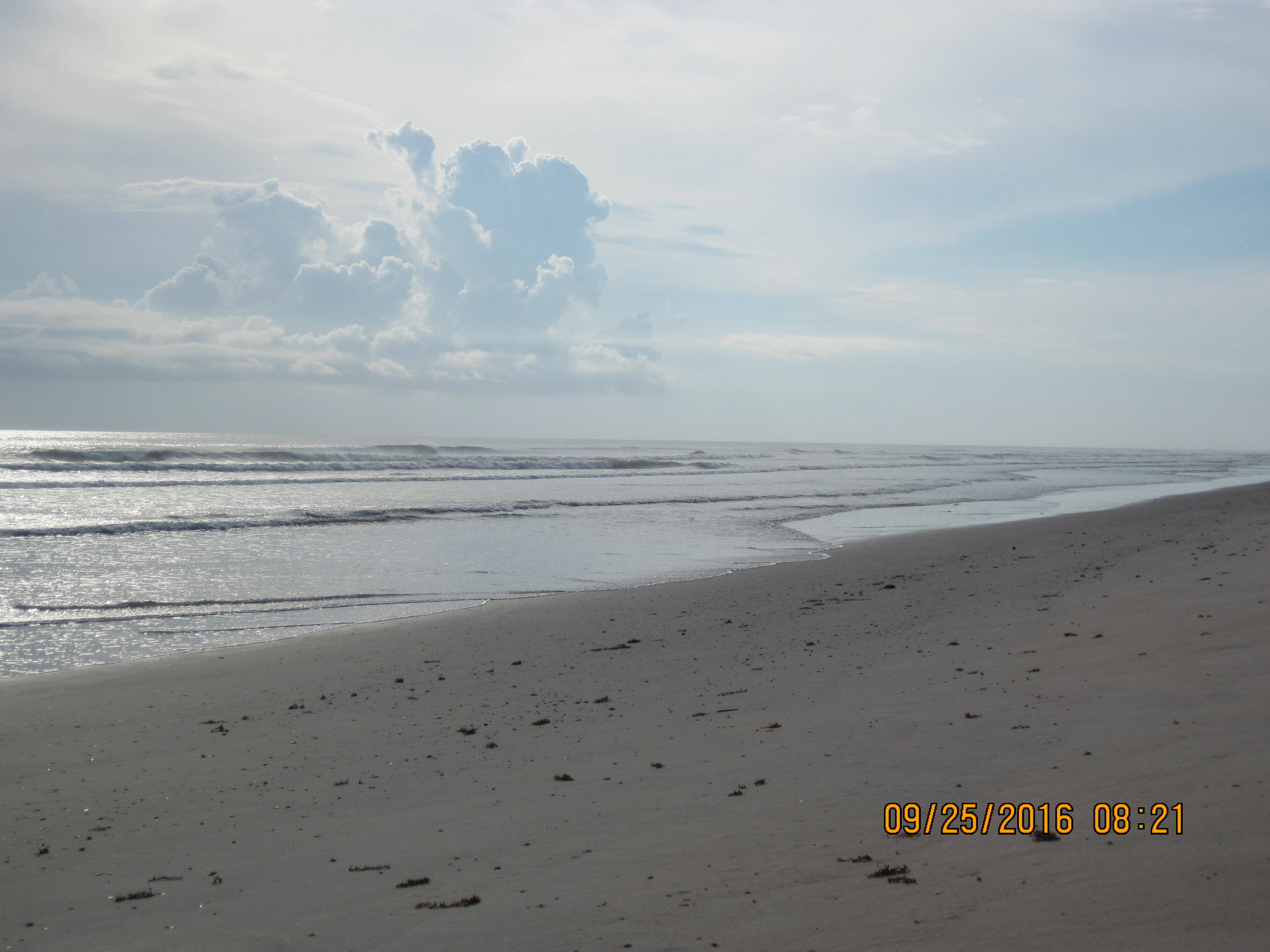
Fall shoreline mapping at Canaveral National Seashore
An example of fall shoreline mapping at Canaveral National Seashore
This photo shows an example of shoreline mapping that took place in the fall of 2016 at Canaveral National Seashore.
U.S. National Park Service
Permission must be secured from the individual copyright owners to reproduce any copyrighted materials contained within this website. Digital assets without any copyright restrictions are public domain.
Photo by Lisa Cowart Baron, SECN
Public domain:Full Granting Rights
Image
Southeast Coast Network, Code: SECN
Southeast Coast Network
Public Can View
Wednesday, January 3, 2018 8:34:12 AM
Wednesday, January 3, 2018 8:34:12 AM
6059DD3F-1DD8-B71B-0BBC473F67972A5B.JPG
Canon Canon, Canon PowerShot D10
1/320 sec at f / 10
9.681 mm
ISO 80
Sunday, September 25, 2016 2:21:44 PM
jpg
2.3 MB
Scenic