Select Item below to DOWNLOAD - Once item is selected, right click and choose 'save as'

5f9240ea-3dd7-48dd-a4cb-25c87d204bce
Fisher's Hill Battlefield
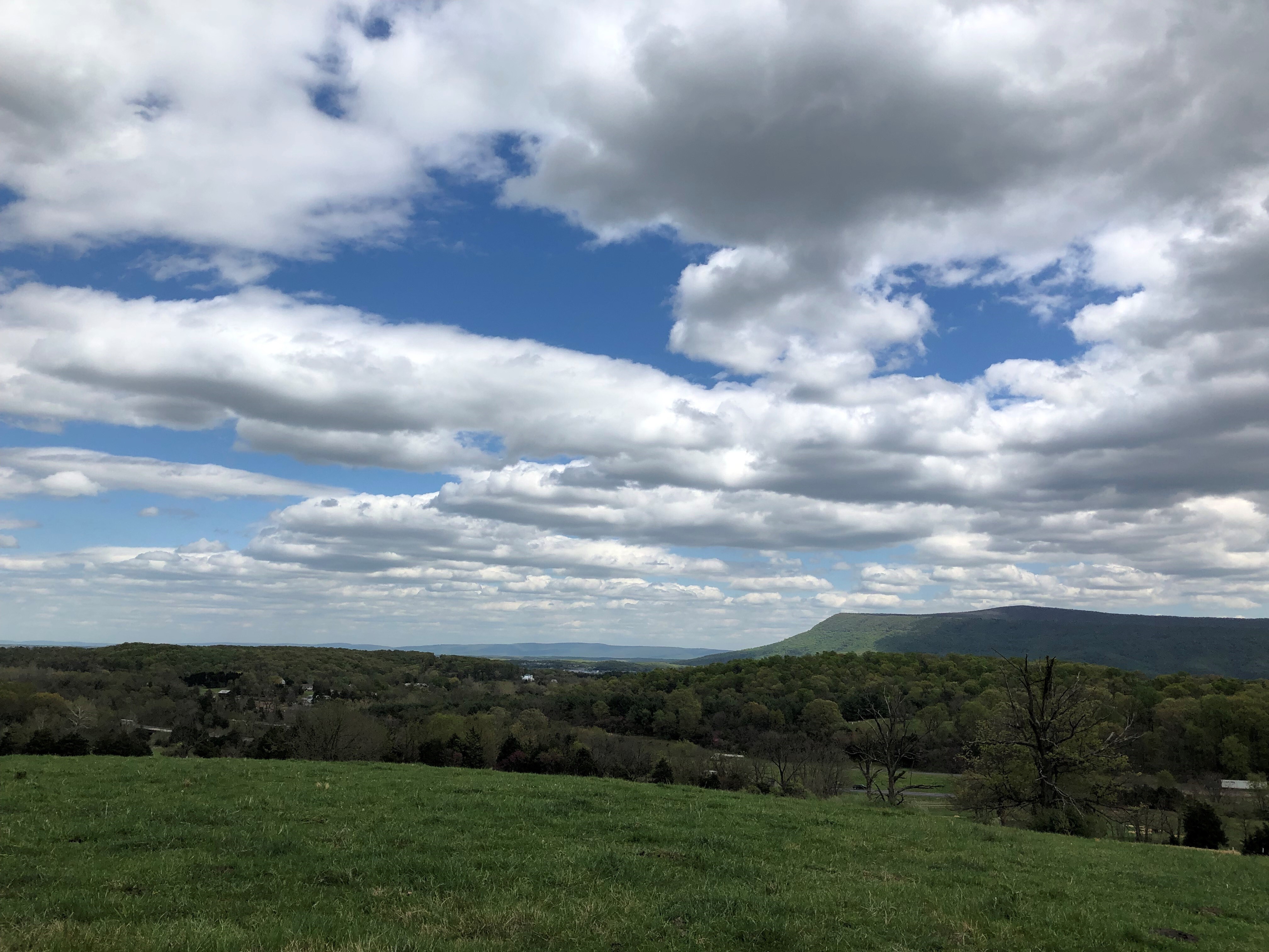
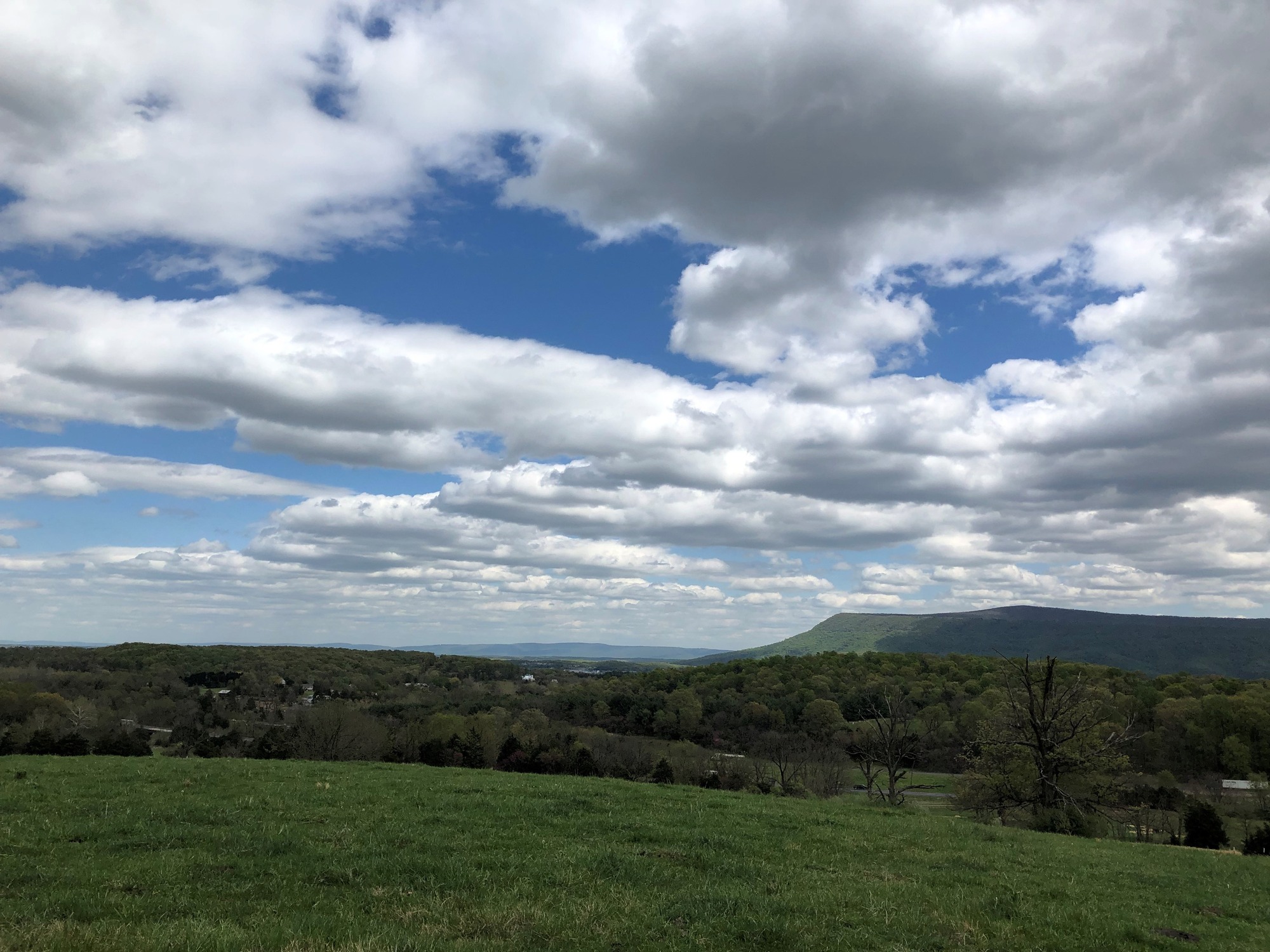
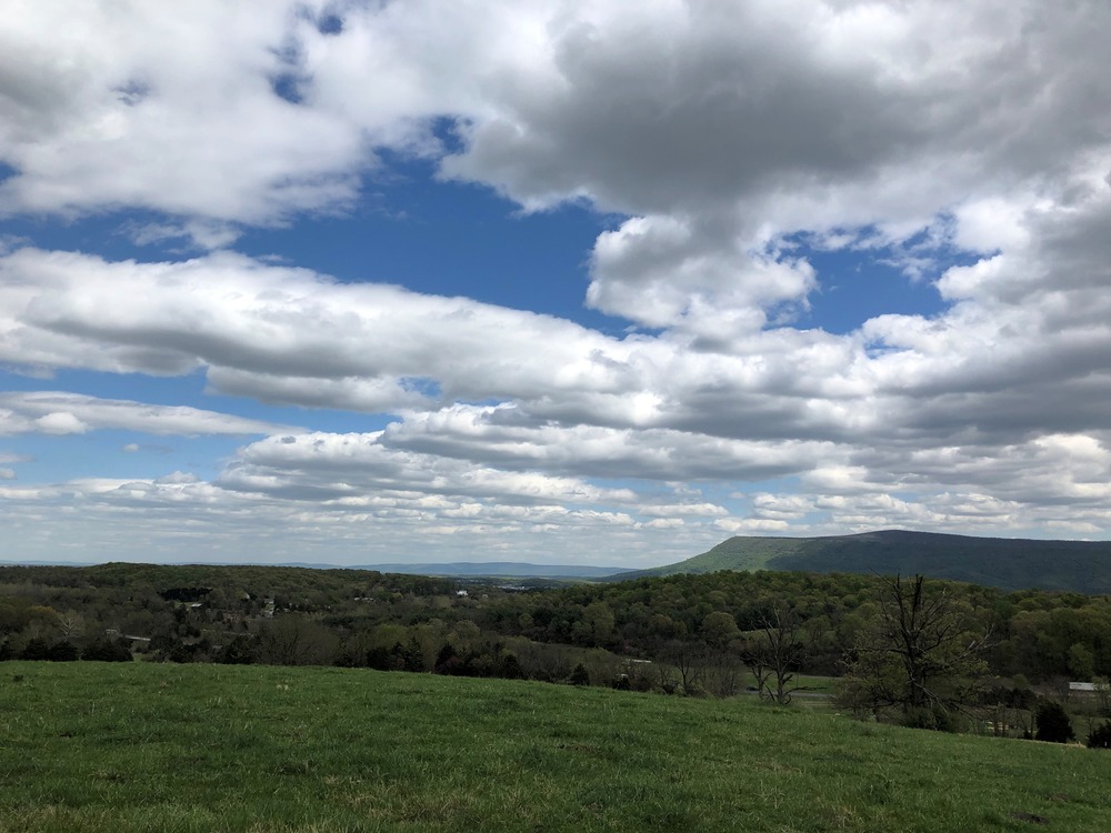
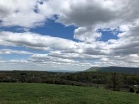
A sweeping valley landscape with rolling ridges, woodlots, and mountain peaks underneath a cloudy sky.
A view from the crest of Ramseur's Hill on the Fisher's Hill Battlefield. This land is preserved by the Shenandoah Valley Battlefields Foundation. The view is looking east towards Signal Knob and Masanutten Mountain.
Permission must be secured from the individual copyright owners to reproduce any copyrighted materials contained within this website. Digital assets without any copyright restrictions are public domain.
NPS Photo
Public domain:Full Granting Rights
Image
Cedar Creek and Belle Grove National Historical Park, Code: CEBE
Cedar Creek and Belle Grove National Historical Park, Virginia
Latitude: 38.9937210083008, Longitude: -78.3142166137695
Latitude: 38.9937210083008, Longitude: -78.3142166137695
01/01/0001
Public Can View
Saturday, September 6, 2025 5:47:06 PM
Saturday, September 6, 2025 6:24:13 PM
Fisher's Hill Battlefield 2023-04 (7).jpg
Monday, January 1, 0001 12:00:00 AM
jpg
2.0 MB
Scenic