Select Item below to DOWNLOAD - Once item is selected, right click and choose 'save as'
5f1e0e59ceab47f68ec636295cd4acc4
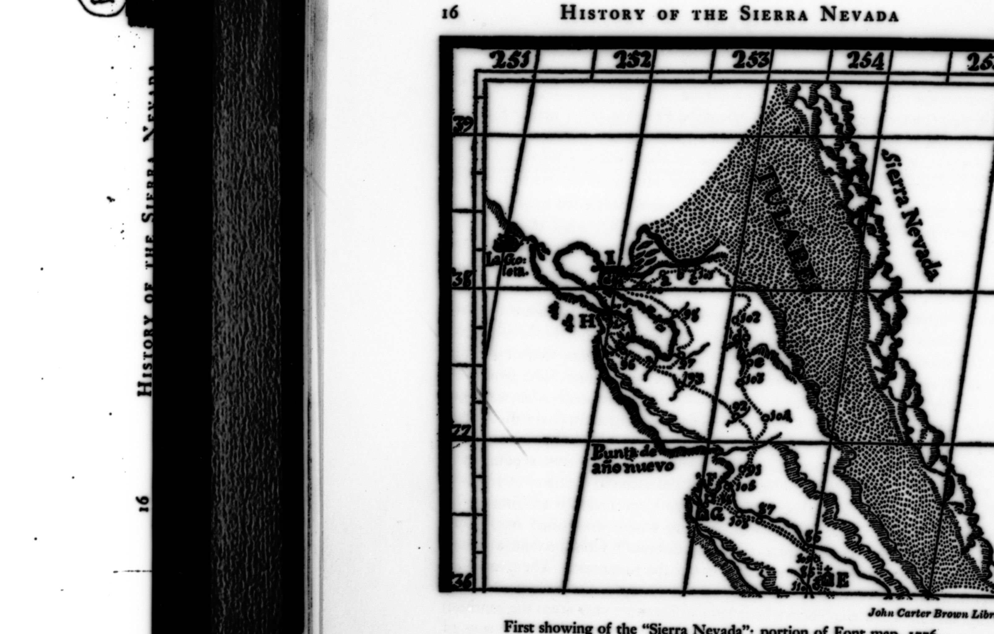
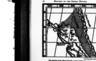
Map showing the first labeling of Sierra Nevada from the Font map (1776). Copied from Farquhar's History of the Sierra Nevada, p. 16. Copied by Michael Dixon.
Map showing the first labeling of Sierra Nevada from the Font map (1776). Copied from Farquhar's History of the Sierra Nevada, p. 16. Copied by Michael Dixon.
Map showing the first labeling of Sierra Nevada from the Font map (1776). Copied from Farquhar's History of the Sierra Nevada, p. 16. Copied by Michael Dixon.
Negative Number: RL_16195A
U. S. National Park Service
Permission must be secured from the individual copyright owners to reproduce any copyrighted materials contained within this website.
Public domain
006.006-05, (Yosemite Hierarchy Number)
, Structures-Maps, Plans, Drawings, (Yosemite Series Description)
, Structures-Maps, Plans, Drawings, (Yosemite Series Description)
Image
Yosemite National Park, Code: YOSE
Yosemite National Park, California
Latitude: 37.8399200439453, Longitude: -119.540397644043
Latitude: 37.8399200439453, Longitude: -119.540397644043
Undated
Film Size: 35mm
YOSE: Box 15
Public Can View
Person: Archivist
Organization: US National Park Service
Address: Yosemite National Park Archives, PO Box 700-W, El Portal, CA 95318
Email: yose_archives@nps.gov
Organization: US National Park Service
Address: Yosemite National Park Archives, PO Box 700-W, El Portal, CA 95318
Email: yose_archives@nps.gov
Monday, August 13, 2018 9:38:41 PM
Monday, August 13, 2018 9:38:41 PM
RL_16195A.tif
tif
14.1 MB
Museum
Exploration of the Sierra - map of routes
Map of the Mother Lode area.
Map showing the first labeling of Sierra Nevada from the Font map (1776). Copied from Farquhar's History of the Sierra Nevada, p. 16. Copied by Michael Dixon.
Map showing the first labeling of Sierra Nevada from the Font map (1776). Copied from Farquhar's History of the Sierra Nevada, p. 16. Copied by Michael Dixon.