Select Item below to DOWNLOAD - Once item is selected, right click and choose 'save as'
5eda9c50-ed9a-4903-964d-ea31cd2591c4
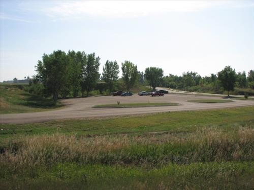
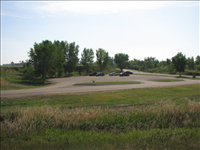
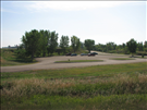
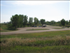
AML-FOUS-1A looking west and AML-FOUS-1B looking east, Fort Union Trading Post NHS
View of AML, from the west and east. The site is now a parking lot.
Permission must be secured from the individual copyright owners to reproduce any copyrighted materials contained within this website. Digital assets without any copyright restrictions are public domain.
Public domain:Abandoned mineral features may pose safety hazards, be archeological sites, or be endangered species habitat.
Image
Fort Union Trading Post National Historic Site, Code: FOUS
Fort Union Trading Post National Historic Site
Latitude: 47.9990501403809, Longitude: -104.039100646973
Latitude: 47.9990501403809, Longitude: -104.039100646973
NPS Metadata Globally Unique Identifier : {9E7F8BDD-D371-411A-8859-218EFDCFBF3F}
Abandoned Mineral Lands ID : FOUS-FOUS 1-Surface Mine-01
Legacy NPS Focus Record ID : 222595
Abandoned Mineral Lands ID : FOUS-FOUS 1-Surface Mine-01
Legacy NPS Focus Record ID : 222595
09/14/2009
09/14/2009
Public Can View
Monday, September 14, 2009 5:28:40 PM
Wednesday, August 9, 2017 9:13:45 PM
FOUS-38138c60d2de42b29a4e1f445322afdc.jpg
Canon Canon, Canon PowerShot S3 IS
1/1600 sec at f / 3.5
6 mm
Monday, September 14, 2009 5:54:00 PM
jpg
104.4 kB
Inventory