Select Item below to DOWNLOAD - Once item is selected, right click and choose 'save as'


5E5CE4B5-DD9A-DFC7-23816899C25D2B5C
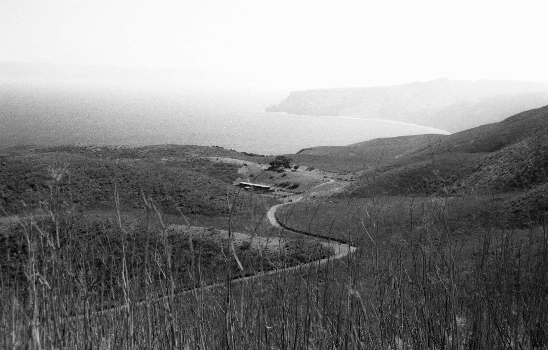
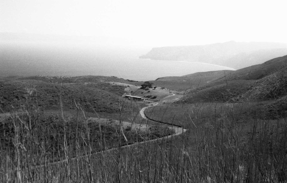
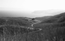
Topography of Santa Cruz Island Surrounding Rancho del Norte
A road winds through rolling, open terrain near the coastline. The ranch is protected by the folds of the land.
The natural features and systems on the isthmus of Santa Cruz collectively create a place where the construction of a ranch was both possible and advantageous. The ranch complex is positioned on a level area just east of a knoll. The low area contains the corrals, and the topography provided shelter while also maintaining sight lines between the corral and the pastures.
U.S. National Park Service
Permission must be secured from the individual copyright owners to reproduce any copyrighted materials contained within this website. Digital assets without any copyright restrictions are public domain.
NPS Photo, 2002
Public domain:Full Granting Rights
Image
Channel Islands National Park, Code: CHIS
Latitude: 34.0085, Longitude: -119.65525
Channel Islands National Park, California
Latitude: 34.0039100646973, Longitude: -119.725196838379
Channel Islands National Park, California
Latitude: 34.0039100646973, Longitude: -119.725196838379
10/03/2004
Public Can View
Organization: Channel Islands National Park
Address: 1901 Spinnaker Drive
Address: 1901 Spinnaker Drive
Monday, July 6, 2020 4:19:57 PM
Monday, July 6, 2020 4:19:57 PM
5E5DEFA3-0C32-B44F-F0A867E30A277815.JPG
Monday, January 1, 0001 12:00:00 AM
jpg
181.6 kB
Scenic