Select Item below to DOWNLOAD - Once item is selected, right click and choose 'save as'
5e51f6faf1ba45d8abba75495b0eda6c
Mapping
Mapping
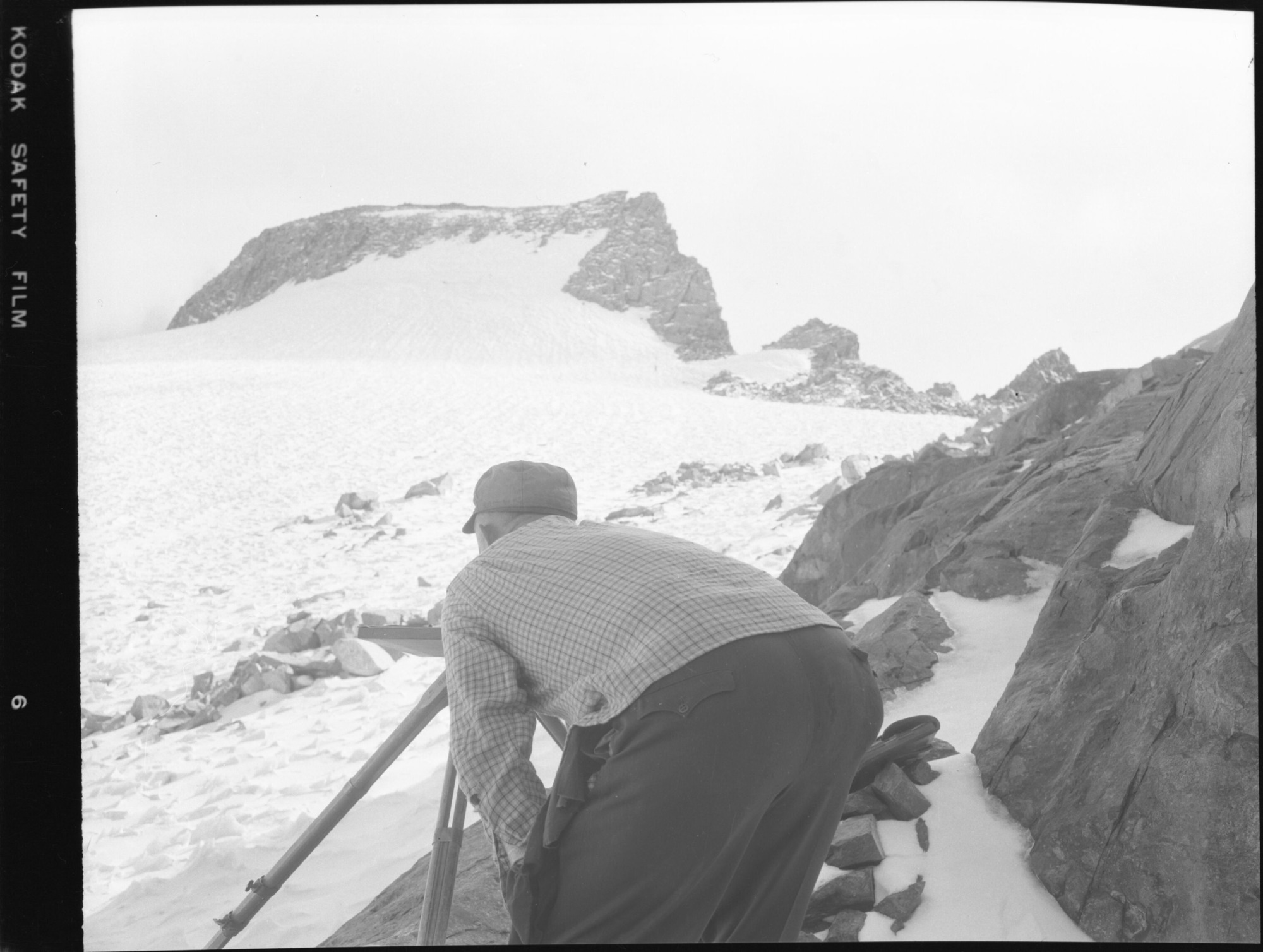
R.N. Doolittle mapping at Sta. L
Negative Number: RL_04355
U. S. National Park Service
Permission must be secured from the individual copyright owners to reproduce any copyrighted materials contained within this website.
Public domain
Image
Yosemite National Park, Code: YOSE
Yosemite National Park, California
Latitude: 37.8399200439453, Longitude: -119.540397644043
Latitude: 37.8399200439453, Longitude: -119.540397644043
10/1/1957 12:00:00 AM
10/01/1957
Film Size: 4 x 5
YOSE: Box 60
Public Can View
Person: Archivist
Organization: US National Park Service
Address: Yosemite National Park Archives, PO Box 700-W, El Portal, CA 95318
Email: yose_archives@nps.gov
Organization: US National Park Service
Address: Yosemite National Park Archives, PO Box 700-W, El Portal, CA 95318
Email: yose_archives@nps.gov
Wednesday, July 8, 2020 1:06:27 AM
Wednesday, July 8, 2020 1:06:27 AM
RL_04355.tif
tif
13.9 MB
Museum