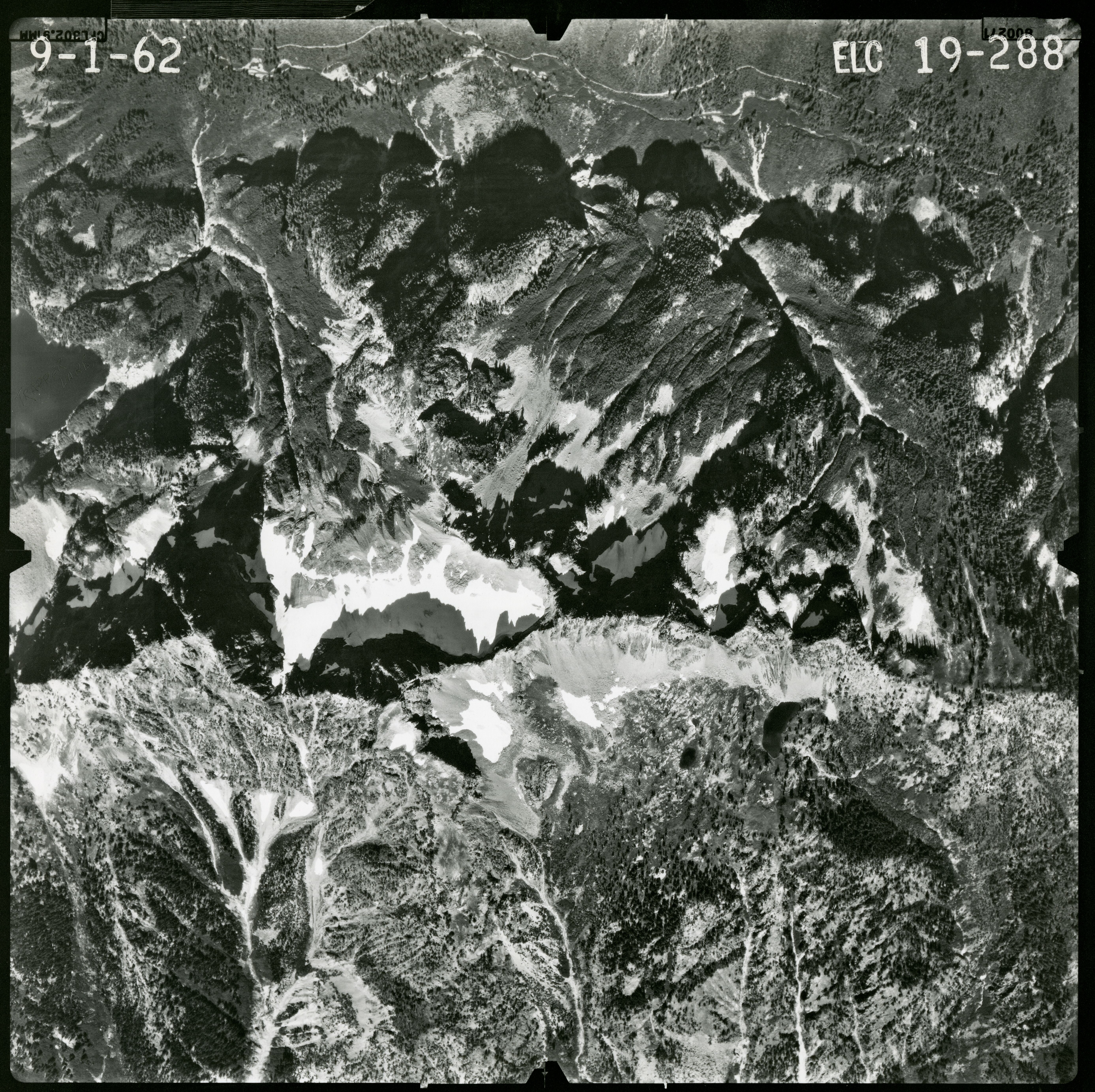
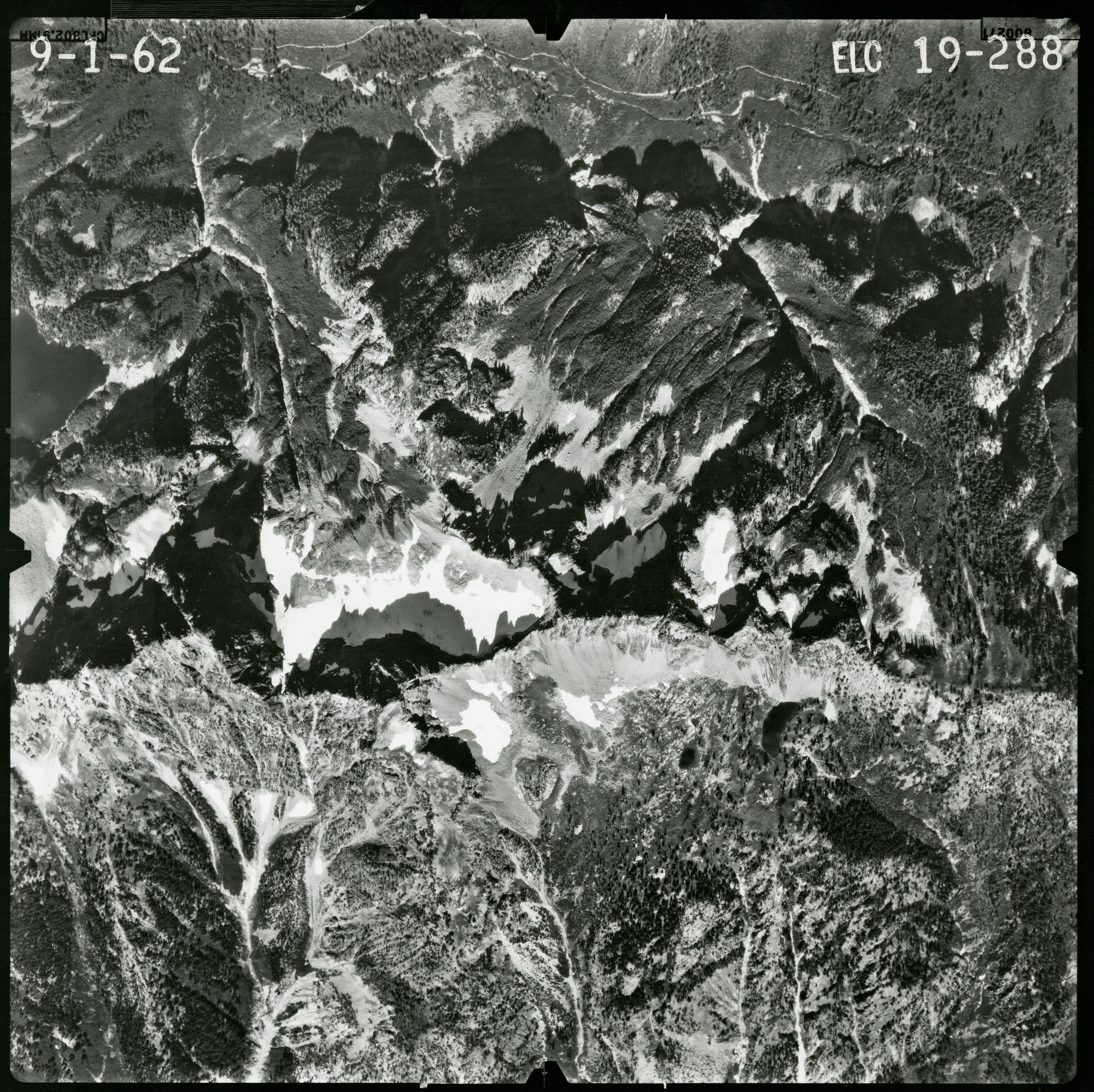
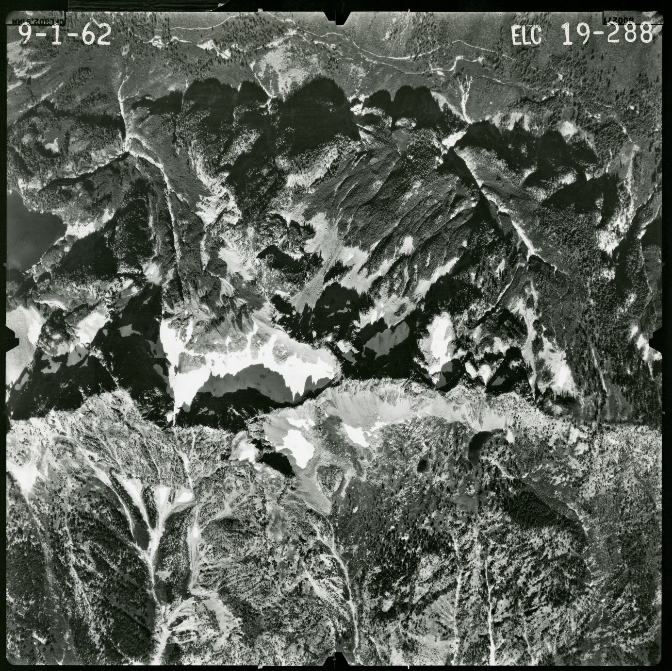
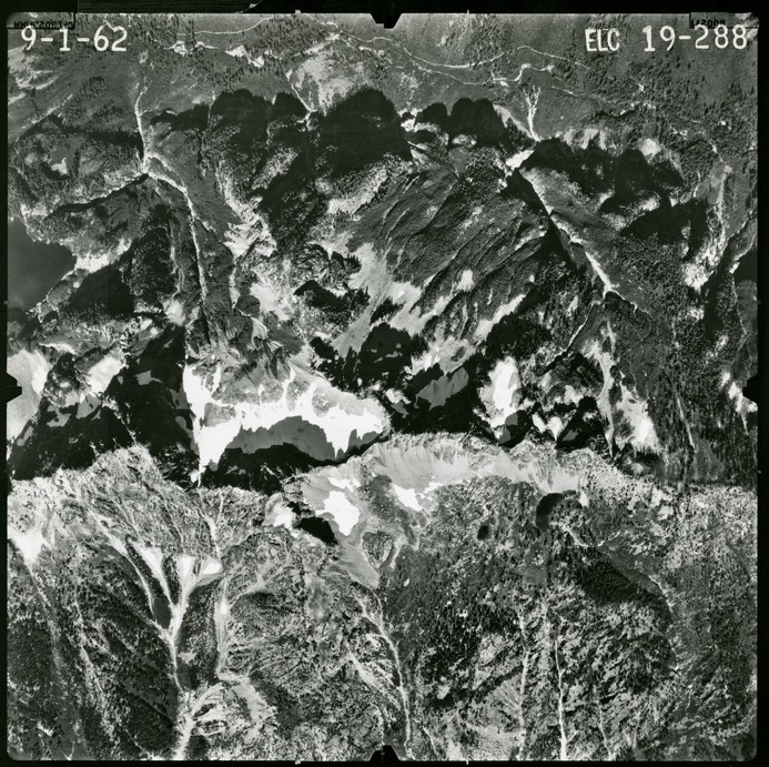
North Cascades National Park, Washington
Latitude: 48.8278884887695, Longitude: -121.35050201416
Organization: North Cascades NPS Complex
Position: Museum Curator
Address: 7280 Ranger Station Road, Marblemount, WA 98267
Email: NOCA_Curator@nps.gov.
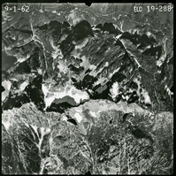
Park Creek Pass Area, 1962, 19-289
Park Creek Pass Area, 1962, 19-290
Park Creek Pass Area, 1962, 19-291
Park Creek Pass Area, 1962, 19-292
Park Creek Pass Area, 1962, 19-293
Park Creek Pass Area, 1962, 19-294
Park Creek Pass Area, 1962, 19-295
Park Creek Pass Area, 1962, 19-296
Park Creek Pass Area, 1962, 19-297
Park Creek Pass Area, 1962, 22-55
Park Creek Pass Area, 1962, 22-56
Park Creek Pass Area, 1962, 22-57
Park Creek Pass Area, 1962, 22-58
Park Creek Pass Area, 1962, 22-59
Park Creek Pass Area, 1962, 22-60
Park Creek Pass Area, 1962, 22-61
Park Creek Pass Area, 1962, 22-99
Park Creek Pass Area, 1962, 22-100
Park Creek Pass Area, 1962, 25-165
Park Creek Pass Area, 1962, 25-166