Select Item below to DOWNLOAD - Once item is selected, right click and choose 'save as'
5cebd825-a174-482e-afda-1bcaef6b692b
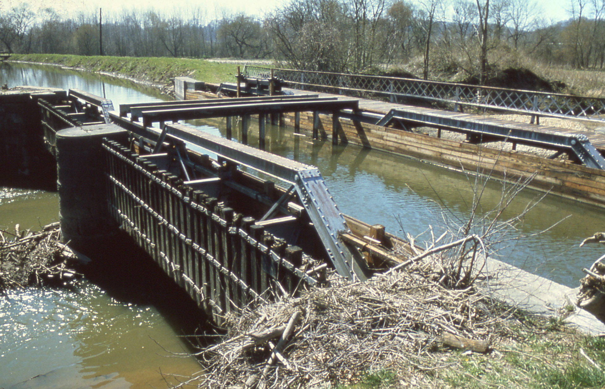
Canal aqueduct
A metal and wood structure carries water up over another waterway down below it; this higher body of water extends into the distance and there is a wooden boardwalk along its far edge.
Tinkers Creek Aqueduct, circa 1980s
Permission must be secured from the individual copyright owners to reproduce any copyrighted materials contained within this website. Digital assets without any copyright restrictions are public domain.
NPS Collection
Public domain:Full Granting Rights
Image
Cuyahoga Valley National Park, Code: CUVA
Cuyahoga Valley National Park, Ohio
Latitude: 41.1502799987793, Longitude: -81.5678787231445
Latitude: 41.1502799987793, Longitude: -81.5678787231445
01/01/0001
Public Can View
Wednesday, October 16, 2024 5:18:58 PM
Wednesday, October 16, 2024 5:26:52 PM
7.1.123-1.JPG
Monday, January 1, 0001 12:00:00 AM
jpg
651.6 kB
Scenic