Select Item below to DOWNLOAD - Once item is selected, right click and choose 'save as'
5ac9fa7c-122b-4389-bc23-21d33b422c46
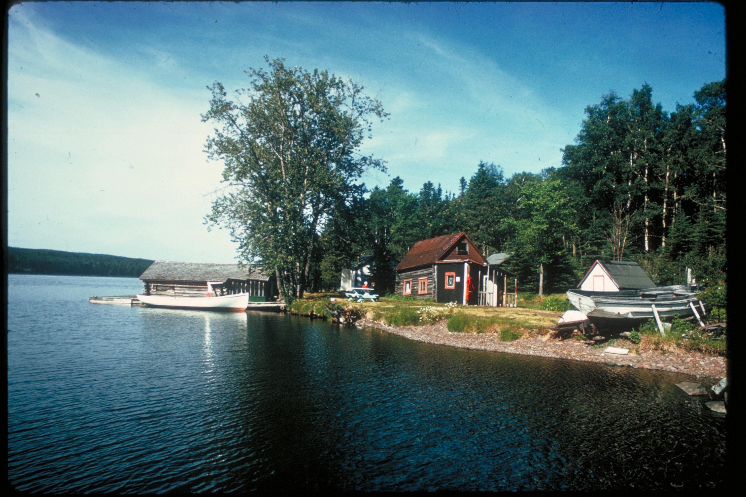
Views at Isle Royale National Park, Michigan
Wolves and moose, the wild North Woods forest, everchanging weather and a cool climate, and the crystal clear waters and rugged shoreline of Lake Superior characterize Isle Royale National Park. This wilderness archipelago is 45 miles long and nine miles wide at its widest point. The park encompasses a total area of 850 square miles including submerged lands which extends four and a half miles out into Lake Superior. The archipelago is composed of many parallel ridges resulting from ancient lava flows which were tilted and glaciated. Isle Royale has 165 miles of scenic hiking trails and 36 campgrounds for backpackers and recreational boaters. There is excellent fishing, historic lighthouses and shipwrecks, ancient copper mining sites, and plenty of spots to observe wildlife. Roadless Isle Royale is accessible only by boat or float plane.
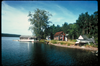
Lakeside cabin
National Park Service
Permission must be secured from the individual copyright owners to reproduce any copyrighted materials contained within this website. Digital assets without any copyright restrictions are public domain.
Public domain
Image
Isle Royale National Park, Code: ISRO
Isle Royale National Park, Keweenaw County, Michigan
Latitude: 48.0108985900879, Longitude: -88.828498840332
Latitude: 48.0108985900879, Longitude: -88.828498840332
Legacy NPS Focus Record ID : 231851
Title: NPS Office of Communications and Public Affairs Photo Library
URL: http://www.nps.gov/pub_aff/imagebase.html
URL: http://www.nps.gov/pub_aff/imagebase.html
02/12/2004
01/01/1980 - 12/30/1999
Digital images (TIF ; 18.0 MB; 2048 x 3072 ; 300 dpi; 24 bit color). Encoded as MrSID format
Wednesday, September 29, 2004 6:26:20 PM
Wednesday, August 9, 2017 8:35:08 PM
isro_lakesidecabin_2829.jpg
Monday, January 1, 0001 12:00:00 AM
jpg
771.6 kB
Scenic