Select Item below to DOWNLOAD - Once item is selected, right click and choose 'save as'
594f5345-524f-434b-2022-020240415013
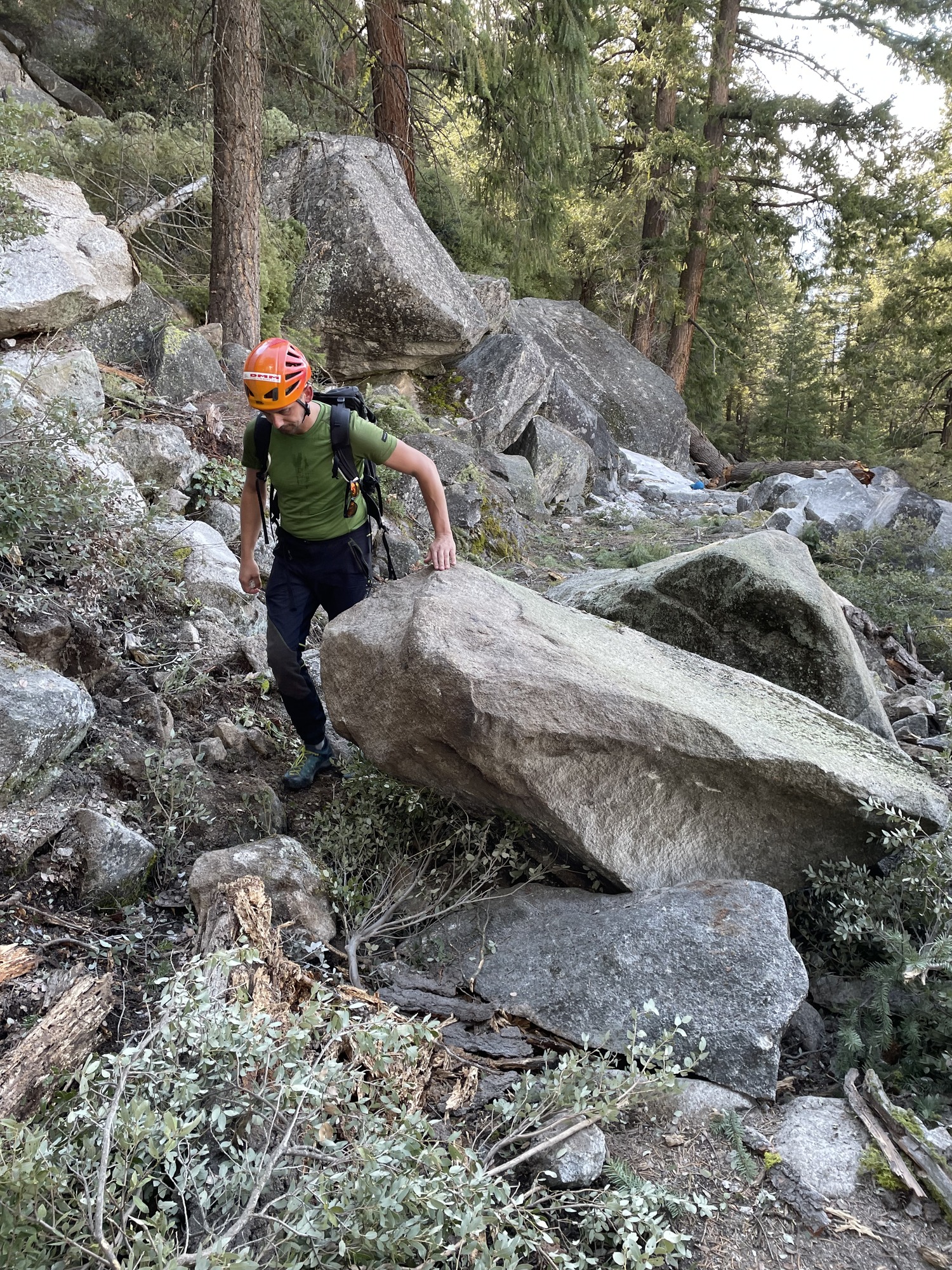
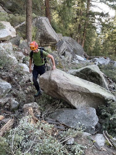
John Muir Trail rock fall
A rock slide originating from just below the south rim of the canyon damaged several switchbacks of the John Muir Trail between Nevada Fall and Clark's Point. Hundreds of boulders came to rest on the trail, two areas of trail sustained deep impact craters, and several old-growth Douglas Firs were snapped or toppled by rock impacts.
UTM East: 276082; UTM North: 4177868; Elevation: 1976
U.S. National Park Service
To the best of our knowledge we believe this image to be copyright free and in the public domain. When using this asset for any purpose, including online, credit: 'Courtesy U.S. National Parks'
NPS Photographer
Public domain
image
Yosemite National Park, Code: YOSE
Giant Staircase
Latitude: 37.7207245648338, Longitude: -119.540580030029
John Muir Trail
Yosemite National Park, California
Latitude: 37.8399200439453, Longitude: -119.540397644043
Latitude: 37.7207245648338, Longitude: -119.540580030029
John Muir Trail
Yosemite National Park, California
Latitude: 37.8399200439453, Longitude: -119.540397644043
2024/04/18
04/15/2024
Public Can View
Person: Greg Stock
Organization: Yosemite NP
Position: Park Geologist
Address: El Portal, CA 95318
Email: greg_stock@nps.gov
Organization: Yosemite NP
Position: Park Geologist
Address: El Portal, CA 95318
Email: greg_stock@nps.gov
Tuesday, February 25, 2025 6:37:45 PM
Tuesday, February 25, 2025 6:37:45 PM
2024041501_3_NPS.JPG
jpg
8.8 MB
Events