Select Item below to DOWNLOAD - Once item is selected, right click and choose 'save as'
594f5345524f434b2022020170928018
2017 El Capitan Horse Tail Falls rock fall
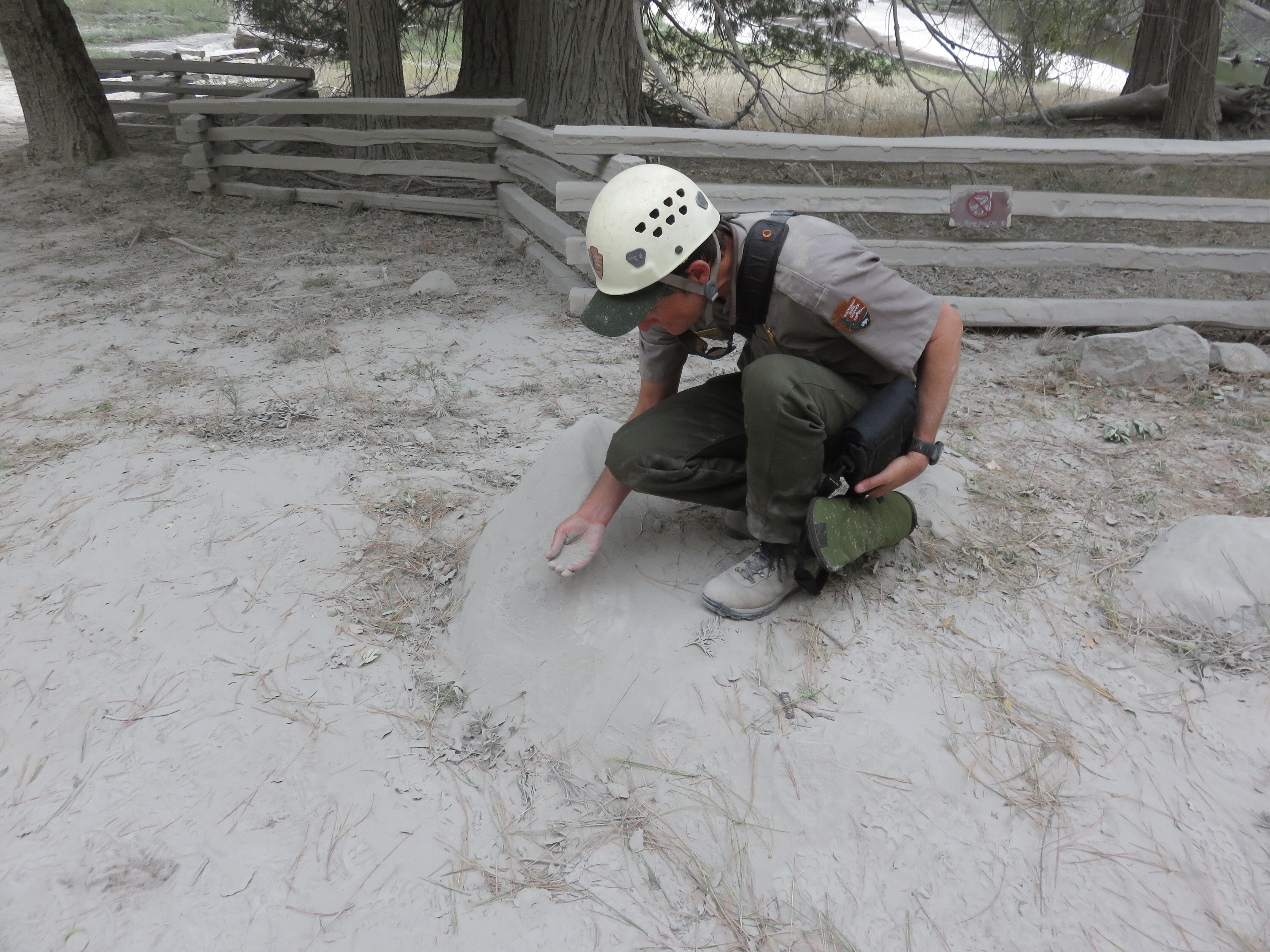
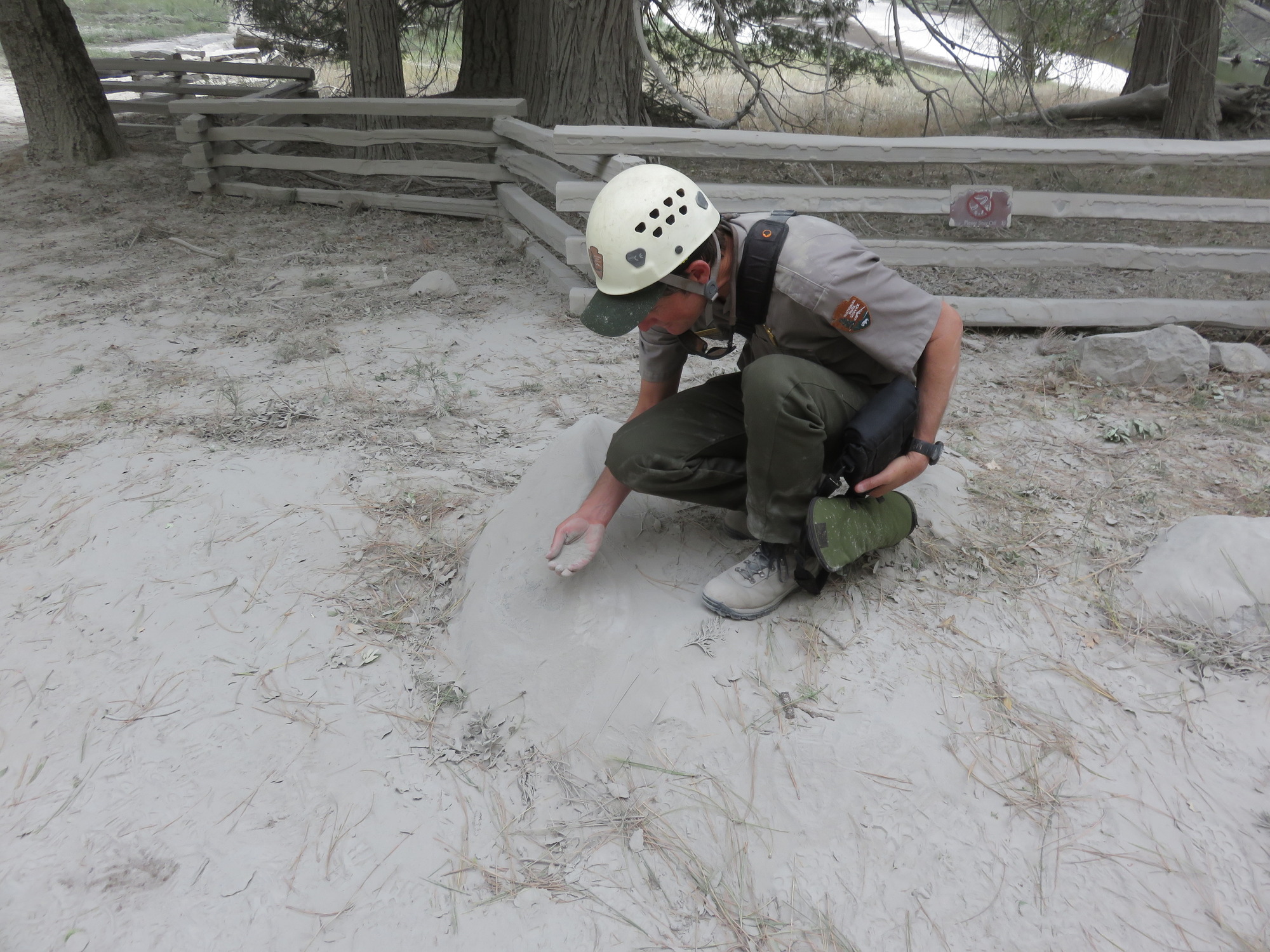
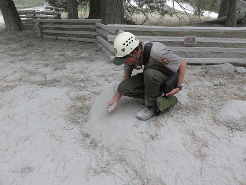
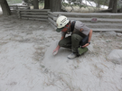
A person bent over, scooping up rock dust that is completely covering the ground around them in a deposit up to 3 cm thick near the base of the talus slope.
A very large rock fall occurred from the southeast face of El Capitan, near the path of seasonal Horsetail Falls and from the same general areas as the seven rock falls that occurred the previous day. The failed rock mass detached as an intact block and fell to the base of the cliff, fragmenting on impact. The resulting boulders tumbled vertically, over another cliff below the impact ledge and then down the long talus slope below, with boulders coming to rest near and slightly beyond the base of the talus slope. Fragmentation on the impact ledge produced a very large dust cloud. This dust cloud initially traveled down the talus slope and out across the floor of Yosemite Valley, enveloping Northside Drive and limiting visibility to a few tens of meters; it then billowed upward and eastward into eastern Yosemite Valley. The initial impact on the ledge at the base of the cliff produced many smaller "flyrock" fragments, one of which, was launched in a steeply upward from the impact point and traveled approximately 400 m in a ballistic trajectory to Northside Drive, where - improbably - it struck the roof of a moving sport-utility vehicle (SUV), puncturing the sun roof and striking the driver of the vehicle in a glancing blow to his head. As a result, the vehicle veered off the road onto a boulder and was quickly engulfed in dust.
UTM East: 268513; UTM North: 4179220; Elevation: 1752
U.S. National Park Service
To the best of our knowledge we believe this image to be copyright free and in the public domain. When using this asset for any purpose, including online, credit: 'Courtesy U.S. National Parks'
NPS Photographer
Public domain
image
Yosemite National Park, Code: YOSE
El Capitan
Latitude: 37.7310163906877, Longitude: -119.62680684
Horse Tail Falls
Yosemite National Park, California
Latitude: 37.8399200439453, Longitude: -119.540397644043
Latitude: 37.7310163906877, Longitude: -119.62680684
Horse Tail Falls
Yosemite National Park, California
Latitude: 37.8399200439453, Longitude: -119.540397644043
20170929
09/28/2017
Public Can View
Organization: Yosemite NP
Position: Park Geologist
Address: El Portal, CA 95318
Email: greg_stock@nps.gov
Position: Park Geologist
Address: El Portal, CA 95318
Email: greg_stock@nps.gov
Wednesday, May 11, 2022 11:45:51 PM
Thursday, July 28, 2022 9:08:37 PM
2017092801_8_NPS.jpg
jpg
4.4 MB
Events