Select Item below to DOWNLOAD - Once item is selected, right click and choose 'save as'
594f5345524f434b2022020140611013
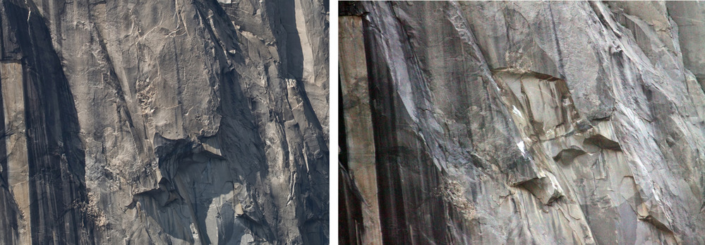
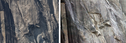
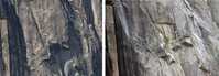
2014 El Capitan Horse Tail Falls rock fall
Before and after photos of a rock fall source area.
A large rock fall from the southeast face of El Capitan resulting in a very loud, sustained rubling and a large dust cloud across El Capitan meadow. The source area is located on the far eastern side of the southeast face, somewhat east of the path of Horsetail Falls.
UTM East: 268541; UTM North: 4179213; Elevation: 1703
U.S. National Park Service
Copyright protection may exist: Contact Yosemite National Park for more copyright information.
Unknown
Restrictions apply on use and/or reproduction:Copyright Unknown
image
Yosemite National Park, Code: YOSE
El Capitan
Latitude: 37.7309604416251, Longitude: -119.62648719
Horse Tail Falls
Yosemite National Park, California
Latitude: 37.8399200439453, Longitude: -119.540397644043
Latitude: 37.7309604416251, Longitude: -119.62648719
Horse Tail Falls
Yosemite National Park, California
Latitude: 37.8399200439453, Longitude: -119.540397644043
20140611
06/11/2014
Public Can View
Organization: Yosemite NP
Position: Park Geologist
Address: El Portal, CA 95318
Email: greg_stock@nps.gov
Position: Park Geologist
Address: El Portal, CA 95318
Email: greg_stock@nps.gov
Wednesday, May 11, 2022 11:52:46 PM
Thursday, July 28, 2022 8:38:22 PM
2014061101_3.jpg
jpg
2.1 MB
Events