Select Item below to DOWNLOAD - Once item is selected, right click and choose 'save as'
594f5345524f434b2022020140331012
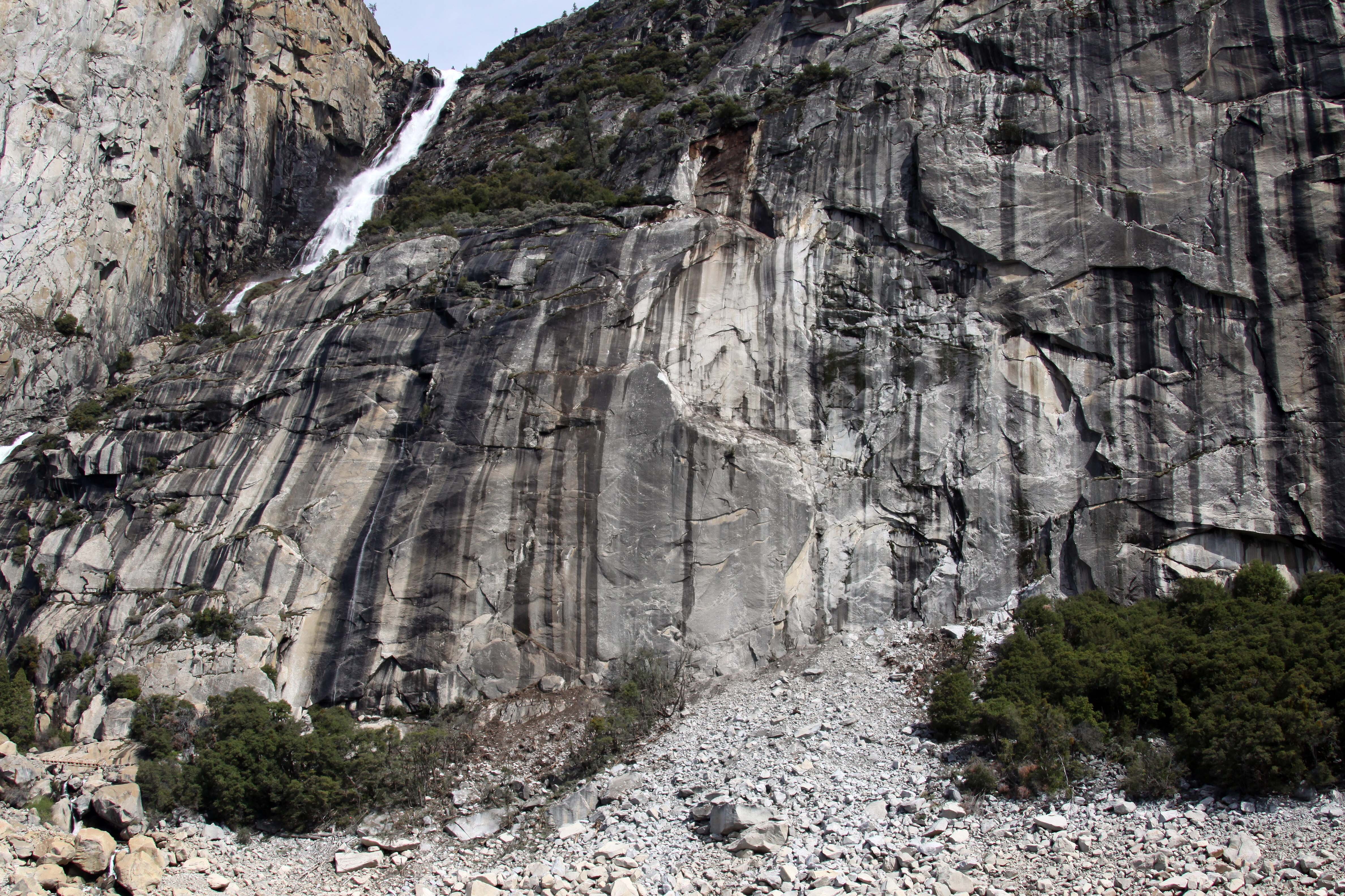
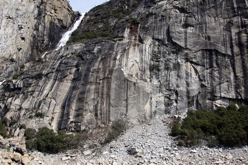
2014 Wapama Falls rock fall
A large impact zone beneath the source area at the bottom of a steep rock cliff, separated into two areas by a strip of intact trees.
A large rock fall from the north wall of Hetch Hetchy Valley, from the cliff just east of Wapama Falls resulting in a dust cloud and an obvious large white-colored source area on the cliff east of Wapama Falls. The largest boulders tumbled all the way into the reservoir. Green oak leaves scattered along the reservoir edge suggest an initial air blast that blew the leaves off of oak trees that were subsequently completely buried by rock-fall debris. Roughly 120 m of the Rancheria Trail was completely destroyed in the main impact area, buried under meters of fresh rock debris, and another 30 m of the trail on either side sustained some damage.
UTM East: 257208; UTM North: 4205469; Elevation: 1361
U.S. National Park Service
To the best of our knowledge we believe this image to be copyright free and in the public domain. When using this asset for any purpose, including online, credit: 'Courtesy U.S. National Parks'
NPS Photographer
Public domain
image
Yosemite National Park, Code: YOSE
Hetch Hetchy
Latitude: 37.9643998245127, Longitude: -119.76377014
Wapama Falls
Yosemite National Park, California
Latitude: 37.8399200439453, Longitude: -119.540397644043
Latitude: 37.9643998245127, Longitude: -119.76377014
Wapama Falls
Yosemite National Park, California
Latitude: 37.8399200439453, Longitude: -119.540397644043
20140403
03/31/2014
Public Can View
Organization: Yosemite NP
Position: Park Geologist
Address: El Portal, CA 95318
Email: greg_stock@nps.gov
Position: Park Geologist
Address: El Portal, CA 95318
Email: greg_stock@nps.gov
Wednesday, May 11, 2022 11:53:15 PM
Thursday, July 28, 2022 8:36:39 PM
2014033101_2_NPS.jpg
jpg
2.2 MB
Events