Select Item below to DOWNLOAD - Once item is selected, right click and choose 'save as'
594f5345524f434b2022020110205011
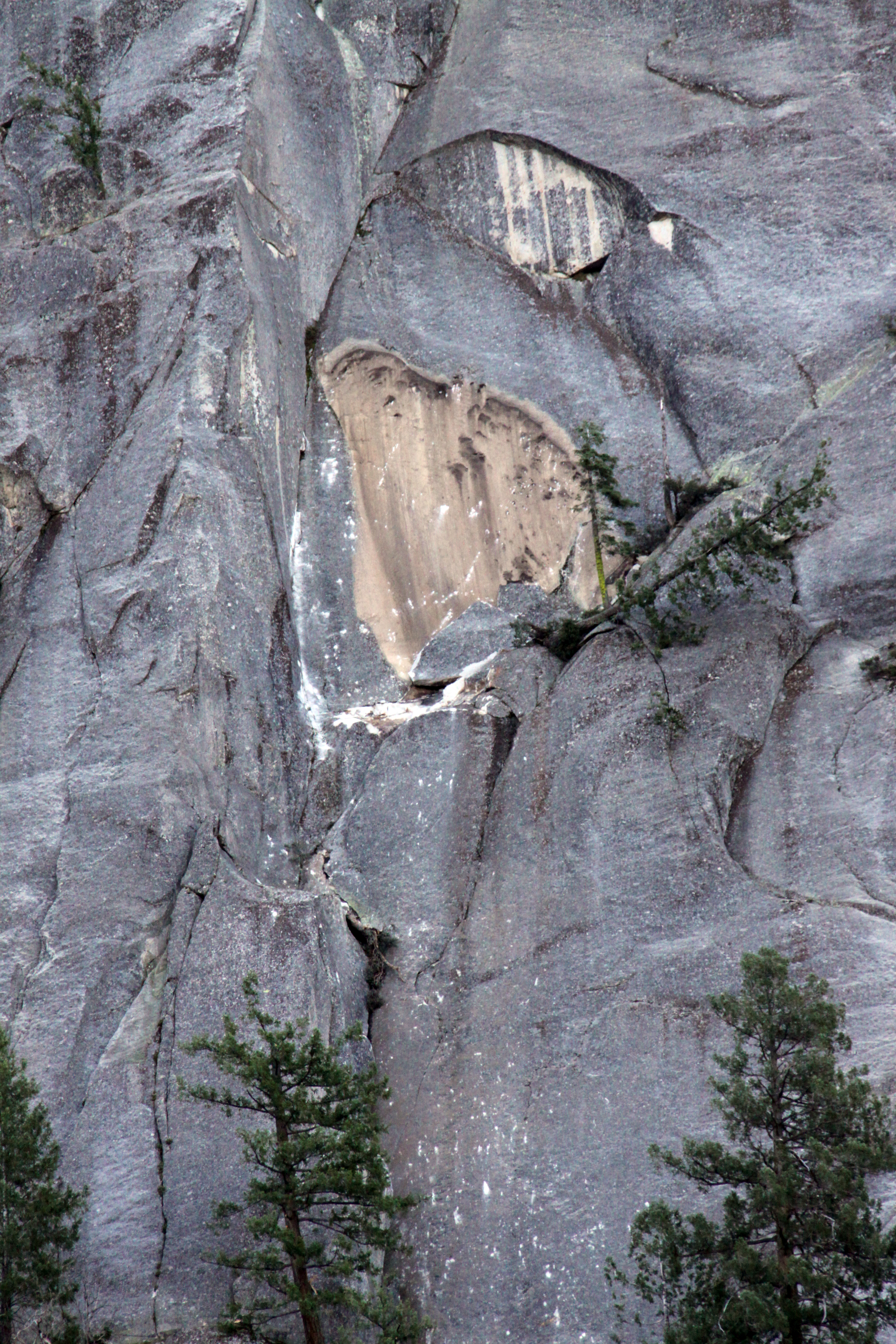
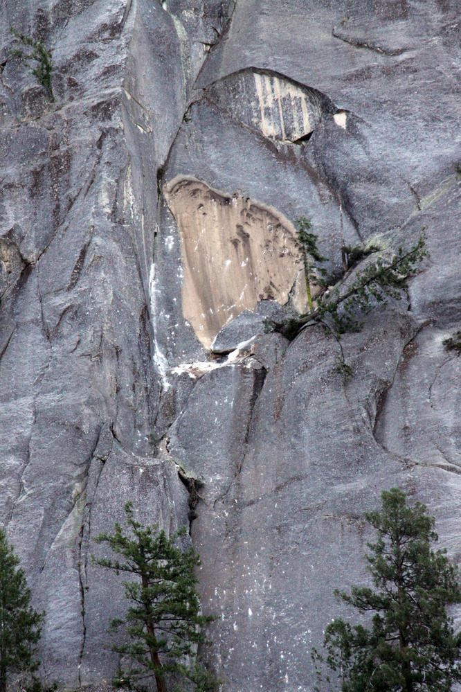
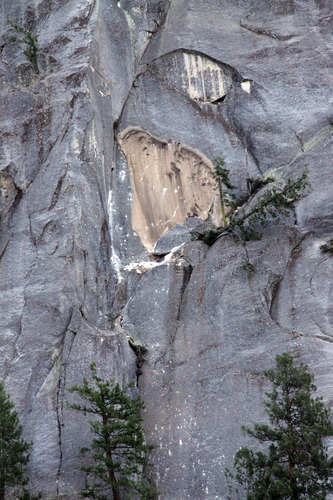
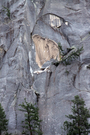
2011 Hetch Hetchy rock fall
A close perspective of a rock fall source area.
A rock fall at Hetch Hetchy in the vicinity of the housing area near the dam resulting in 20-30 seconds of rumbling, followed by a thick dust cloud. The source area midway up the cliff on the "Eye in the Sky" formation above the housing area.
UTM East: 255944; UTM North: 4202723; Elevation: 1717
U.S. National Park Service
To the best of our knowledge we believe this image to be copyright free and in the public domain. When using this asset for any purpose, including online, credit: 'Courtesy U.S. National Parks'
NPS Photographer
Public domain
image
Yosemite National Park, Code: YOSE
Hetch Hetchy
Latitude: 37.9393405475233, Longitude: -119.77721155
Eye in the Sky
Yosemite National Park, California
Latitude: 37.8399200439453, Longitude: -119.540397644043
Latitude: 37.9393405475233, Longitude: -119.77721155
Eye in the Sky
Yosemite National Park, California
Latitude: 37.8399200439453, Longitude: -119.540397644043
20110206
02/05/2011
Public Can View
Organization: Yosemite NP
Position: Park Geologist
Address: El Portal, CA 95318
Email: greg_stock@nps.gov
Position: Park Geologist
Address: El Portal, CA 95318
Email: greg_stock@nps.gov
Wednesday, May 11, 2022 11:57:44 PM
Thursday, July 28, 2022 8:17:10 PM
2011020501_1_NPS.jpg
jpg
10.5 MB
Events