Select Item below to DOWNLOAD - Once item is selected, right click and choose 'save as'
594f5345524f434b2022019370205011
1937 Cascades debris flow
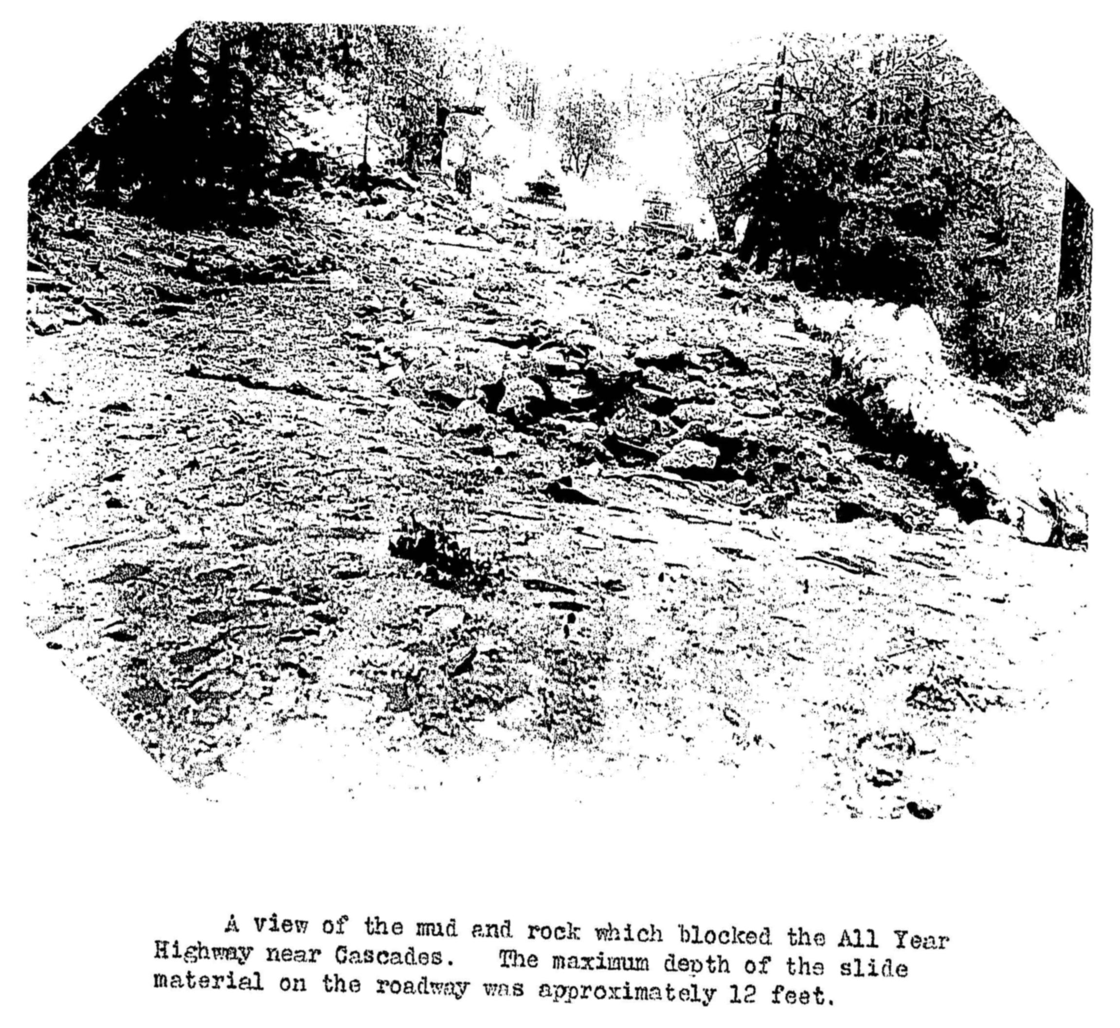
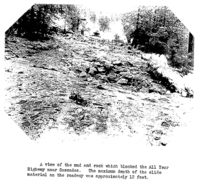
Mud and rock blocking road.
A view of the mud and rock which blocked the All Year Highway near Cascades. The photograph shows the maximum depth of material on the roadway of approximately 12 feet.
UTM East: 261153; UTM North: 4179076; Elevation: 1312
U.S. National Park Service
To the best of our knowledge we believe this image to be copyright free and in the public domain. When using this asset for any purpose, including online, credit: 'Courtesy U.S. National Parks'
NPS Photographer
Public domain
image
Yosemite National Park, Code: YOSE
Merced River Gorge
Latitude: 37.7278299127611, Longitude: -119.71019296
Cascades
Yosemite National Park, California
Latitude: 37.8399200439453, Longitude: -119.540397644043
Latitude: 37.7278299127611, Longitude: -119.71019296
Cascades
Yosemite National Park, California
Latitude: 37.8399200439453, Longitude: -119.540397644043
19370205
02/05/1937
Public Can View
Organization: Yosemite NP
Position: Park Geologist
Address: El Portal, CA 95318
Email: greg_stock@nps.gov
Position: Park Geologist
Address: El Portal, CA 95318
Email: greg_stock@nps.gov
Thursday, May 12, 2022 12:04:58 AM
Tuesday, August 9, 2022 5:31:29 PM
1937020501_1_NPS.jpg
jpg
1.7 MB
Events