Select Item below to DOWNLOAD - Once item is selected, right click and choose 'save as'
592ecee9-d6da-4dcd-9fce-8d7916265486
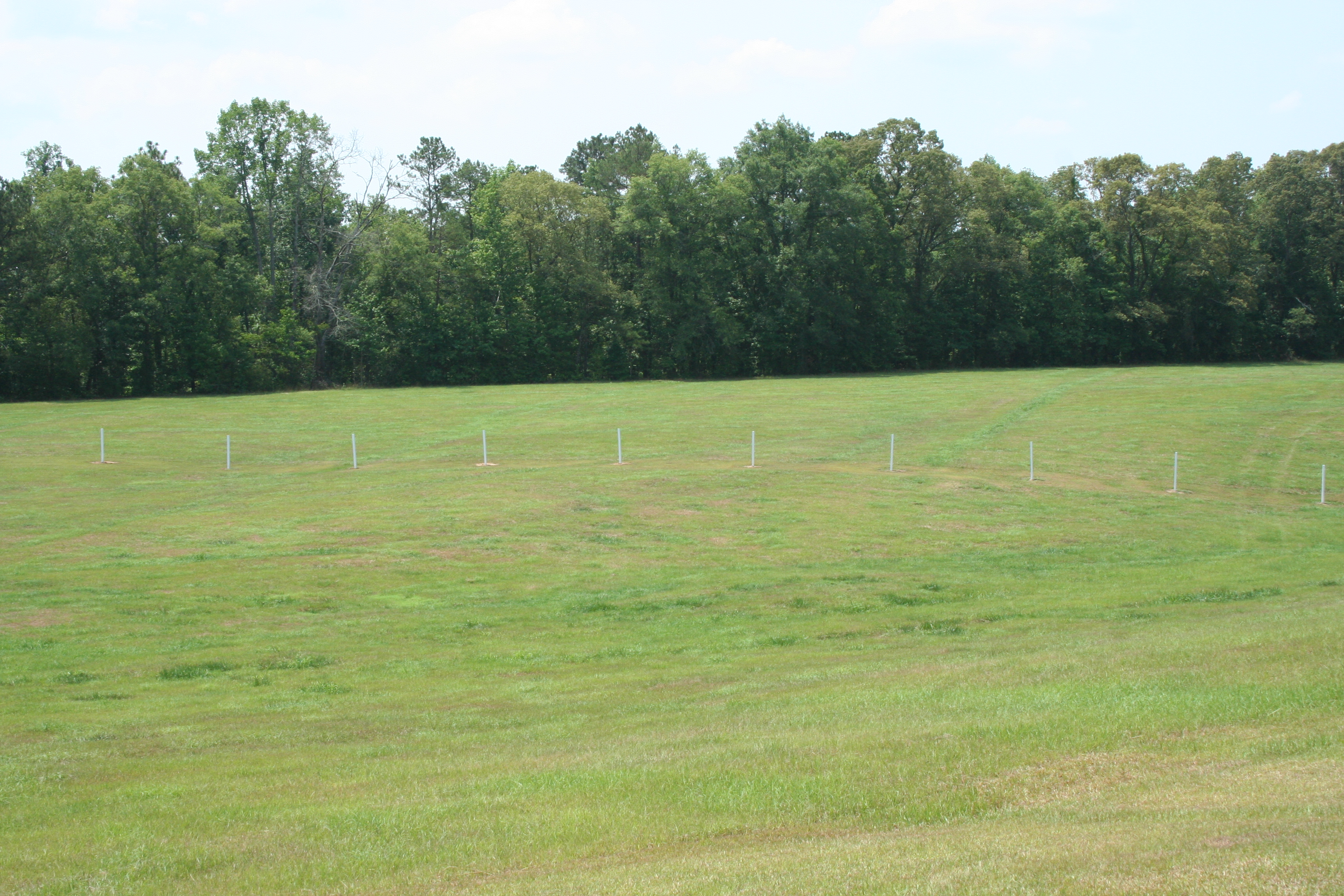
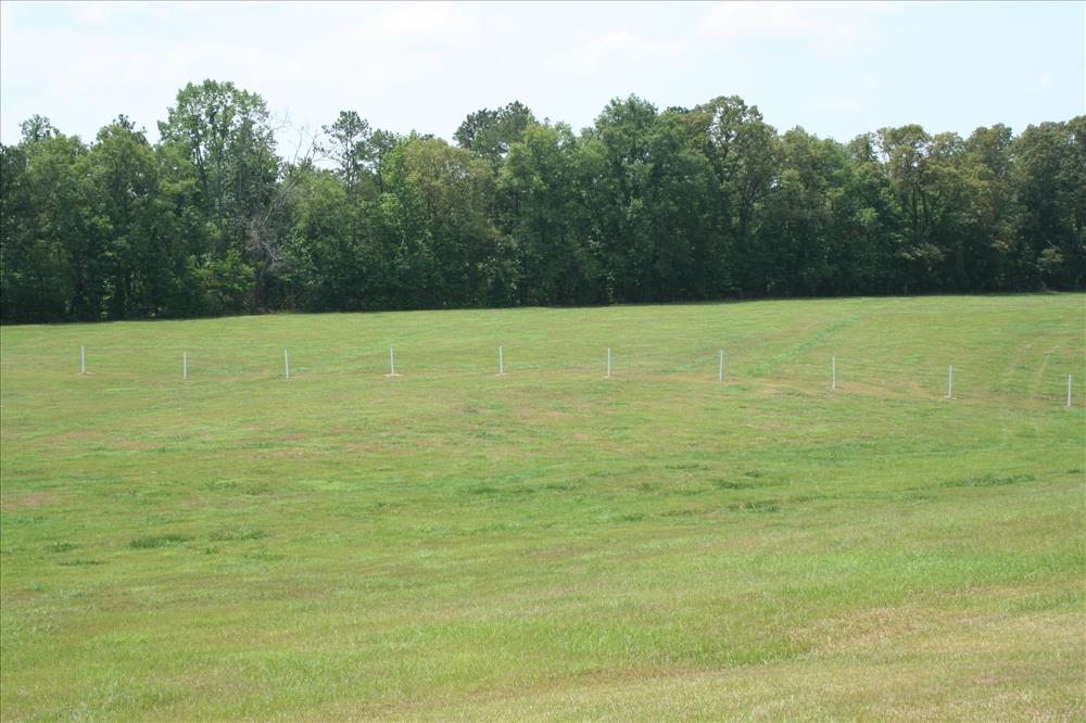
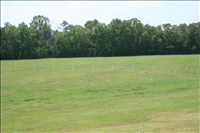
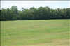
Barricade Location at Horseshoe Bend NMP at various dates
Several closer views of the location believed where the log barricade crossed the peninsular at different angles. The white posts represent the line across the battlefield area of the believed location
barricade area from Gun hill side of battlefield shot towards Tohopeka covering the center area on 06/29/2007 --
Permission must be secured from the individual copyright owners to reproduce any copyrighted materials contained within this website. Digital assets without any copyright restrictions are public domain.
Public domain
Image
Horseshoe Bend National Military Park, Code: HOBE
Horseshoe Bend NMP ; Battlefield area between Tour stop 2 and 5, Horseshoe Bend National Military Park, Tallapoosa County, Alabama
Latitude: 32.9766998291016, Longitude: -85.7341003417969
Latitude: 32.9766998291016, Longitude: -85.7341003417969
Legacy NPS Focus Record ID : 223605
06/29/2007
02/15/2002
Public Can View
Thursday, October 8, 2009 4:51:14 PM
Wednesday, August 9, 2017 8:19:45 PM
HOBE-2a78484a770e4997aa6659bc2648f91d.jpg
Canon Canon, Canon EOS DIGITAL REBEL XT
1/320 sec at f / 13
38 mm
ISO 400
Friday, June 29, 2007 4:25:34 PM
jpg
4.2 MB
Barricade Location at Horseshoe Bend NMP at various dates
Barricade Location at Horseshoe Bend NMP at various dates
Barricade Location at Horseshoe Bend NMP at various dates
Barricade Location at Horseshoe Bend NMP at various dates
Barricade Location at Horseshoe Bend NMP at various dates
Barricade Location at Horseshoe Bend NMP at various dates
Barricade Location at Horseshoe Bend NMP at various dates