Select Item below to DOWNLOAD - Once item is selected, right click and choose 'save as'
56ef14ea-dd88-4af5-968d-7b634d061596
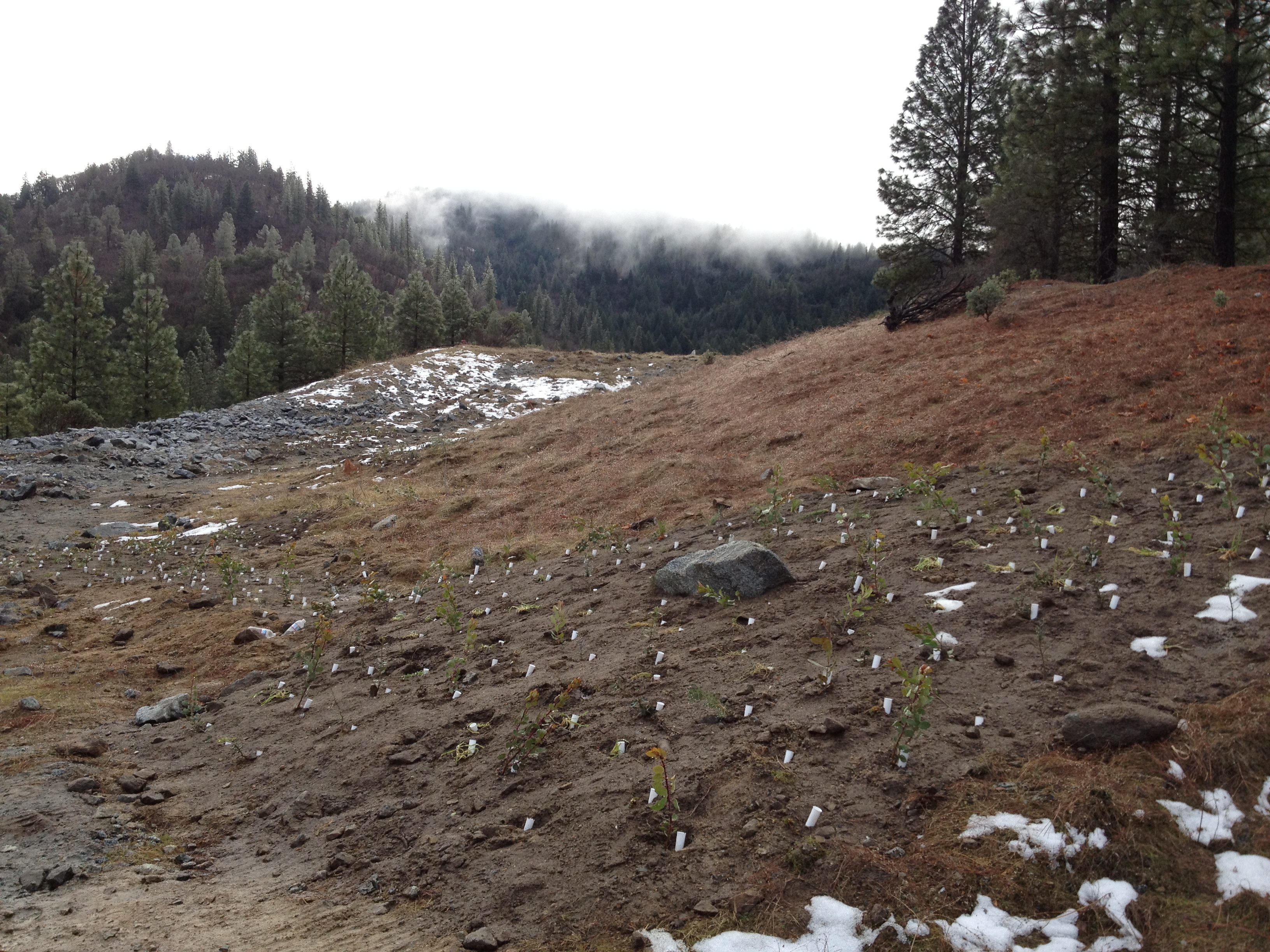
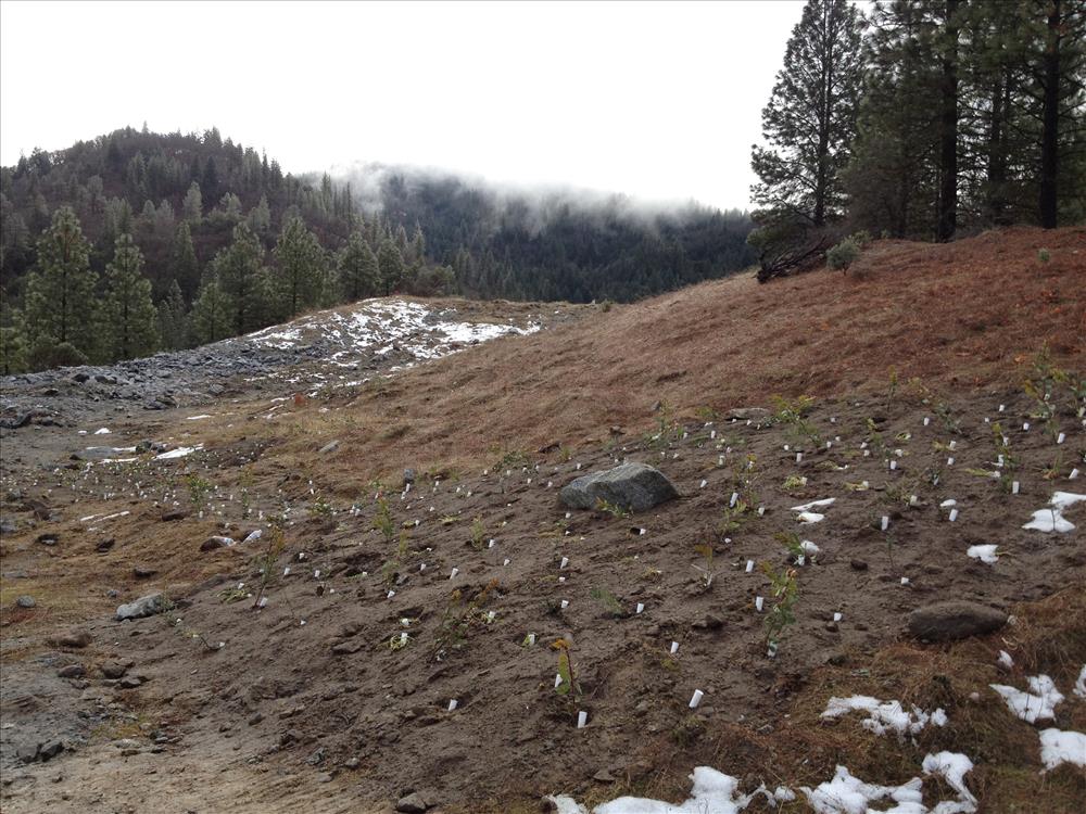
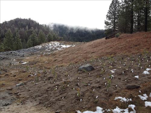
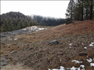
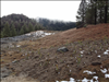
Crystal Creek Quarry Rehabilitation - Planting Pockets - Winter, 2012
Photographs of seedlings planted in pockets to facilitate the revegetation of the Crystal Creek Rock Quarry within Whiskeytown National Recreation Area. Prior to establishment of Whiskeytown in 1965, a 10.7-mile tunnel was constructed to link Lewiston Reservoir in the Trinity watershed with Whiskeytown Lake in the Clear Creek watershed to supply water to the Central Valley. As a result of tunneling, approximately 350,000 cubic yards of waste rock is stored at the Crystal Creek Quarry site, which covers about 25 acres. Restoration of this site took place between 2010 and 2012.
Permission must be secured from the individual copyright owners to reproduce any copyrighted materials contained within this website. Digital assets without any copyright restrictions are public domain.
Public domain
Image
Whiskeytown National Recreation Area, Code: WHIS
Crystal Creek Quarry, Whiskeytown National Recreation Area, Shasta County, California
Latitude: 40.6136016845703, Longitude: -122.601997375488
Latitude: 40.6136016845703, Longitude: -122.601997375488
Legacy NPS Focus Record ID : 480033
01/26/2012
01/26/2012 - 02/08/2012
Public Can View
Thursday, September 6, 2012 4:02:50 PM
Wednesday, August 9, 2017 8:07:27 PM
WHIS-913e6e9e040a470382d13594f4789ed7.jpg
Apple Apple, iPhone 4S
1/575 sec at f / 2.4
4.28 mm
ISO 64
Thursday, January 26, 2012 6:32:23 PM
jpg
3.5 MB
Monitoring