View Original in 360 Degree Image Viewer (5.2 MB)
View Large Version in 360 Degree Image Viewer (937.4 KB)
View Medium Version in 360 Degree Image Viewer (292.5 KB)
View Small Version in 360 Degree Image Viewer (115.0 KB)
Select Item below to DOWNLOAD - Once item is selected, right click and choose 'save as'
56aa2339-53ab-49cb-ae01-5277c5075409
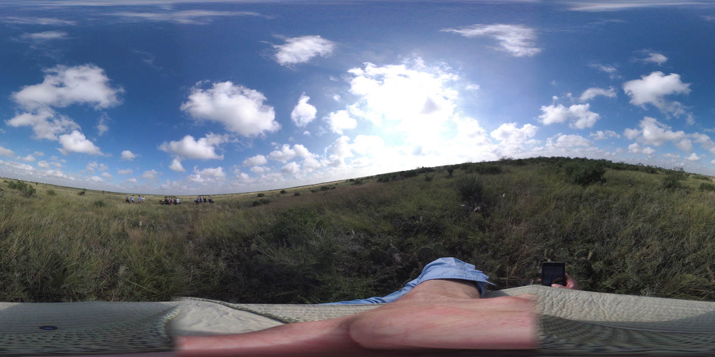
paal tortoise monitoring site condition photo (Southside)
paal tortoise monitoring site condition photo ()
Garmin VIRB 360 photos taken by GULN during November 2018 Tortoise Monitoring field work
Permission must be secured from the individual copyright owners to reproduce any copyrighted materials contained within this website. Digital assets without any copyright restrictions are public domain.
Public domain
360 Image
Palo Alto Battlefield National Historical Park, Code: PAAL
Palo Alto Battlefield National Historical Park, Cameron County, Texas
Latitude: 26.0247001647949, Longitude: -97.4626998901367
Latitude: 26.0247001647949, Longitude: -97.4626998901367
11/06/2018
11/06/2018
Public Can View
Person: Jeff Bracewell
Organization: GULN
Position: GIS Specialist
Address: 646 Cajundome Blve, Lafayette LA 70506
Email: jeff_bracewell@nps.gov
Organization: GULN
Position: GIS Specialist
Address: 646 Cajundome Blve, Lafayette LA 70506
Email: jeff_bracewell@nps.gov
Tuesday, November 20, 2018 1:32:20 PM
Tuesday, November 20, 2018 1:32:20 PM
VIRB201811_v0110011.jpg
260/1000000 sec at f / 2
1.03 mm
ISO 189
Tuesday, November 6, 2018 5:29:50 PM
jpg
5.4 MB