Select Item below to DOWNLOAD - Once item is selected, right click and choose 'save as'
537375a7-6bbf-4864-882f-b4ef2ae85841
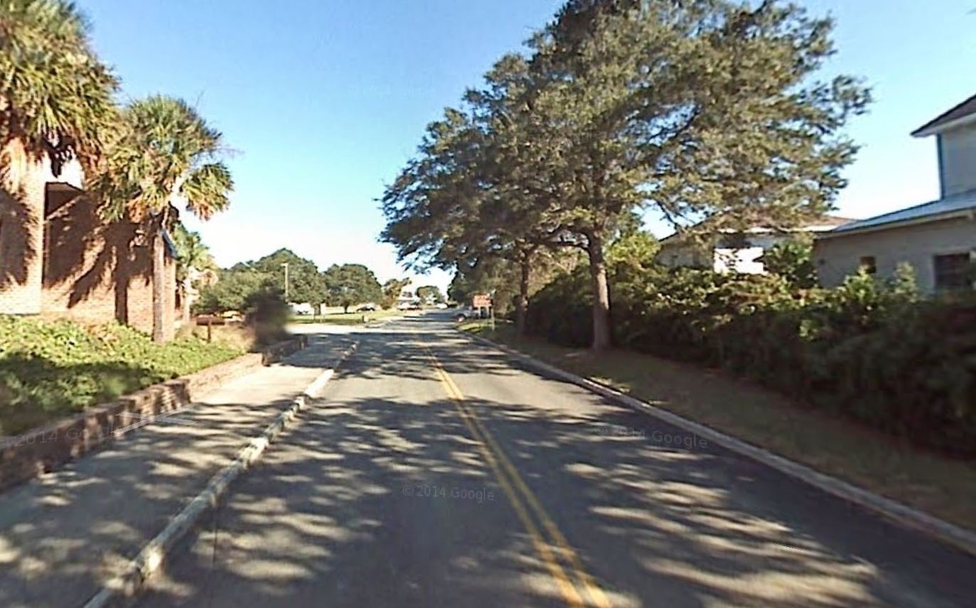
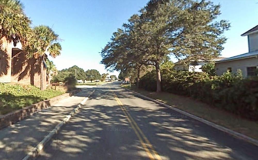
Fort Moultrie
Ft. Moultrie VC Prkg Area Paved. RT0900
Image with visible watermark of coordinates, elevations date, time and park code.
58535
1300
Permission must be secured from the individual copyright owners to reproduce any copyrighted materials contained within this website. Digital assets without any copyright restrictions are public domain.
Public domain
FMSS, (NPS Focus Subject Thesaurus)
, Asset Inventory, (NPS Focus Subject Thesaurus)
, Buildings, (NPS Focus Subject Thesaurus)
, Elevations, (NPS Focus Subject Thesaurus)
, Asset Inventory, (NPS Focus Subject Thesaurus)
, Buildings, (NPS Focus Subject Thesaurus)
, Elevations, (NPS Focus Subject Thesaurus)
Image
Fort Sumter and Fort Moultrie National Historical Park, Code: FOSU
Fort Sumter and Fort Moultrie National Historical Park, Charleston County, South Carolina
Latitude: 32.7536010742188, Longitude: -79.8793029785156
Latitude: 32.7536010742188, Longitude: -79.8793029785156
FMSS (LOCATION NUMBER) ID : 58535
03/17/2015
03/17/2015
Public Can View
Diethorn, Brian T.
Organization: FMGIS
Email: Brian_Diethorn@partner.nps.gov
Email: Brian_Diethorn@partner.nps.gov
Wednesday, March 18, 2015 2:18:51 PM
Wednesday, August 9, 2017 7:48:01 PM
58535.JPG
Tuesday, March 17, 2015 8:22:56 PM
jpg
567.6 kB
Source: VERTICAL DATUM NAVD 88
Content: 1.825 m
Content: 1.825 m
Inventory