Select Item below to DOWNLOAD - Once item is selected, right click and choose 'save as'
533a2b13-4486-4fd5-a2a5-968b93230baf
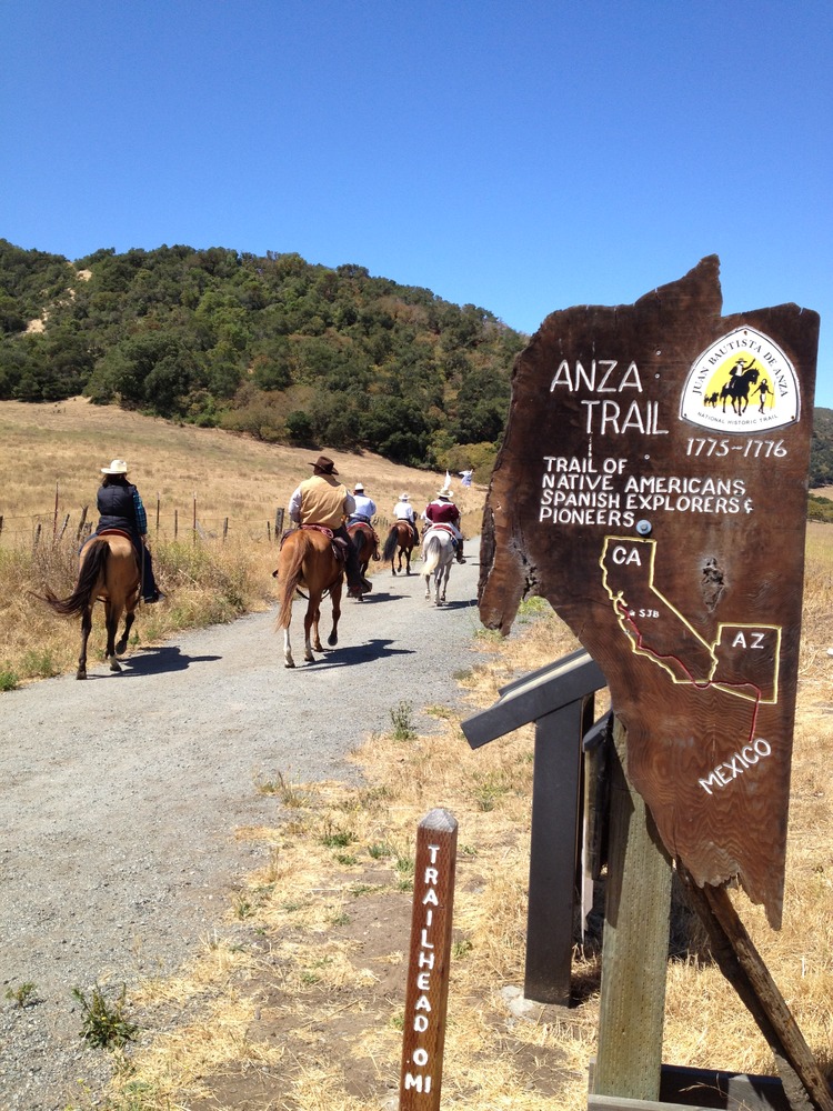
San Juan Bautista Trailhead, 2012
A group of equestrians wearing hats ride down a gravel trail marked with an Anza Trail sign that includes a map of CA and AZ
San Juan Bautista Trailhead, 2012
Permission must be secured from the individual copyright owners to reproduce any copyrighted materials contained within this website. Digital assets without any copyright restrictions are public domain.
NPS
Public domain:Full Granting Rights
Image
Juan Bautista de Anza National Historic Trail, Code: JUBA
Juan Bautista de Anza National Historic Trail
Latitude: 31.3392162322998, Longitude: -110.94580078125
Latitude: 31.3392162322998, Longitude: -110.94580078125
07/08/2012
07/08/2012
Public Can View
Wednesday, March 13, 2024 6:08:47 PM
Wednesday, March 13, 2024 6:54:39 PM
san-juan-bautista-ca-trailhead-with-equestrians_7839581080_o.jpg
Apple Apple, iPhone 4S
1/1381 sec at f / 2.4
4.28 mm
ISO 64
Sunday, July 8, 2012 11:20:40 AM
jpg
3.8 MB
Scenic