Select Item below to DOWNLOAD - Once item is selected, right click and choose 'save as'
526da19e-9aee-4d48-88c5-897cbb82f3f5
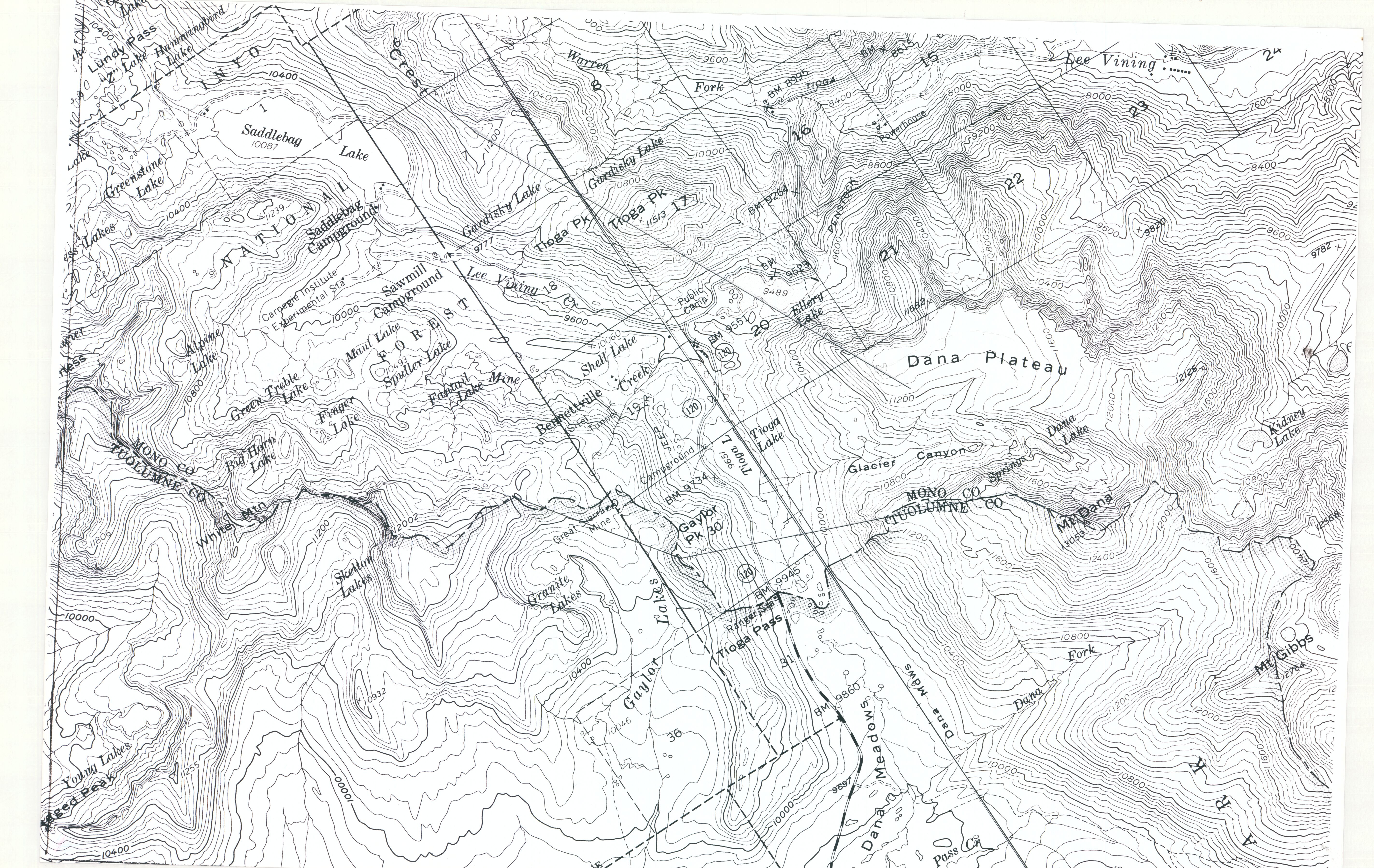
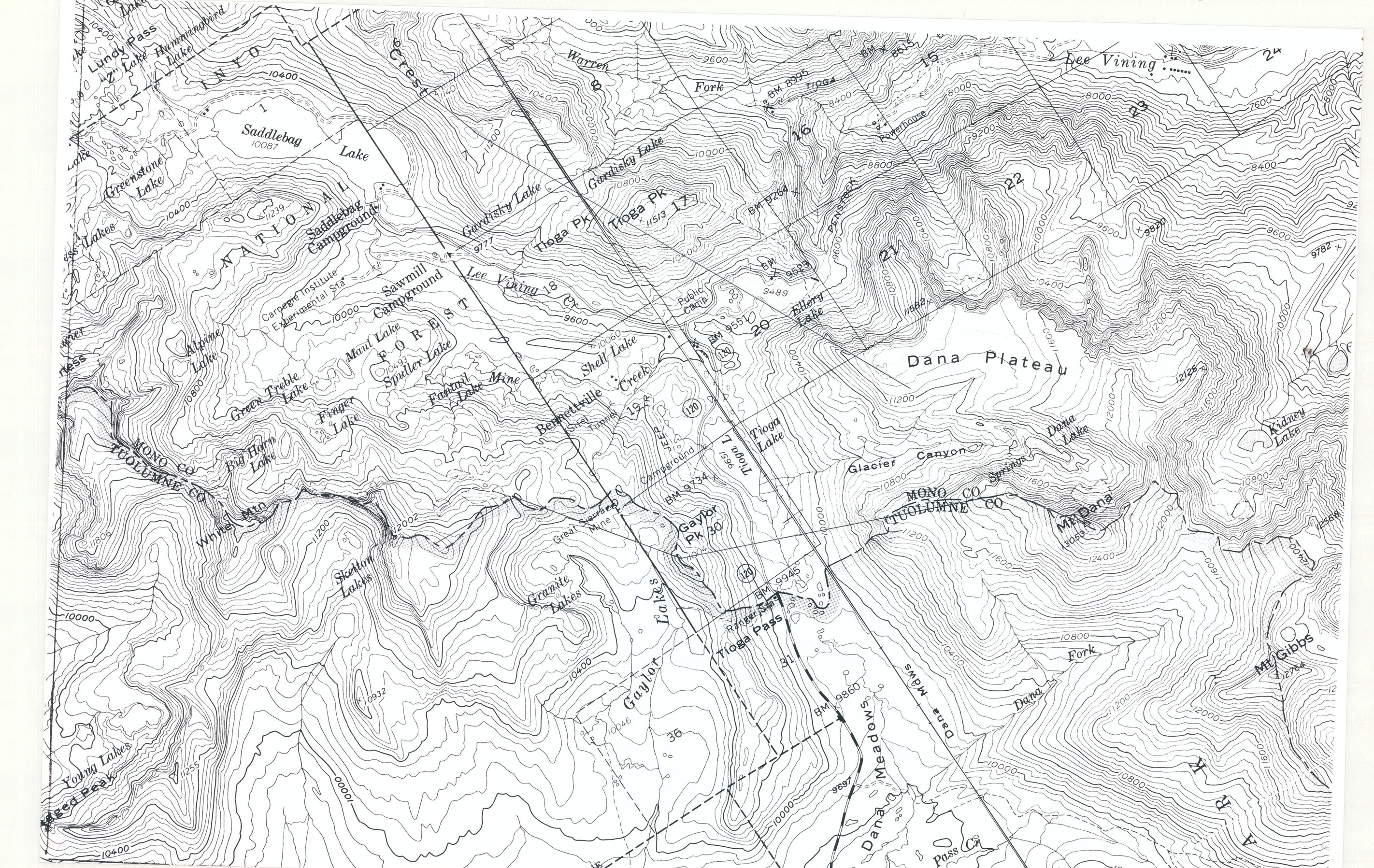
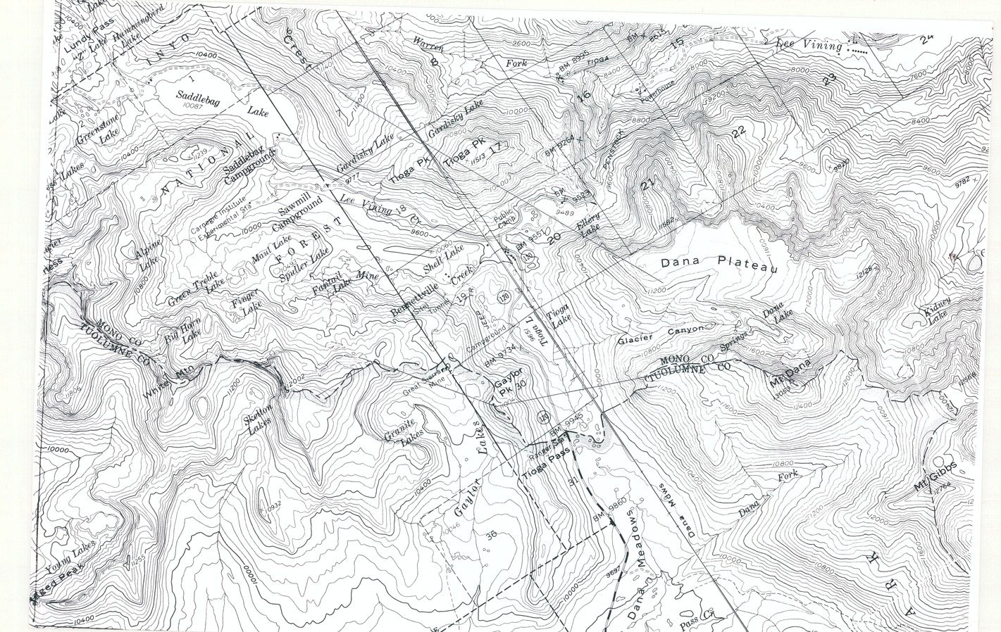
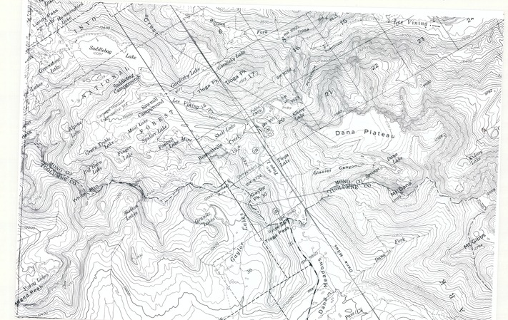
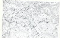
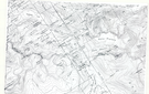
Tioga Pass and Lee Vining Topographic Map
Tioga Pass and Lee Vining Topographic Map
Topographic map of Tioga Pass and Lee Vining
Item Number: YOSEAR000558
Contact Yosemite National Park for more copyright information and use
Public domain:This digital asset is in the public domain. When using this asset for any purpose, including online, credit:'Courtesy U.S. National Parks'
Image
Yosemite National Park, Code: YOSE
Yosemite National Park, California
Latitude: 37.8399200439453, Longitude: -119.540397644043
Latitude: 37.8399200439453, Longitude: -119.540397644043
Undated
Type: magazine paper; Dimensions: 12 x 18; Condition: good
YOSE Location: E1 DR19 F2
Public Can View
Person: Archivist
Organization: US National Park Service
Address: Yosemite National Park Archives, PO Box 700-W, El Portal, CA 95318
Email: yose_archives@nps.gov
Organization: US National Park Service
Address: Yosemite National Park Archives, PO Box 700-W, El Portal, CA 95318
Email: yose_archives@nps.gov
Tuesday, July 26, 2022 2:13:09 PM
Tuesday, July 26, 2022 2:13:09 PM
YOSEAR000558.tif
tif
28.9 MB
Scenic
,
Map