Select Item below to DOWNLOAD - Once item is selected, right click and choose 'save as'
515ec02c6e77494384b50b7d7d867d63
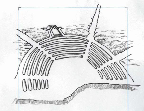
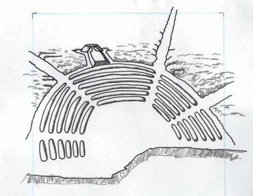
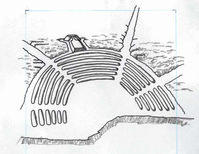
a plan view of Poverty Point in Louisiana (1,000 BCE)
a plan view of Poverty Point in Louisiana (1,000 BCE)
Abbr=EX
U.S. National Park Service
Project=Alibates Flint Quarry Temporary Visitor Center (trailer) ; Reflective Art
Government owns art and all reproduction rights.
Public domain
Pen and ink with graphite on Mylar, (HFC ArtMedium)
Image
Lake Meredith National Recreation Area, Code: LAMR
Lake Meredith National Recreation Area, Texas
Latitude: 35.5958595275879, Longitude: -101.69709777832
Latitude: 35.5958595275879, Longitude: -101.69709777832
Image Management System : IMS 08947
20190904
Exhibit 3/Graphic # 3-11 Art on the same board as Exhibit 3/Graphic # 3-5, Exhibit 3/Graphic # 3-7, Exhibit 3/Graphic # 3-9, Exhibit 3/Graphic # 3-13, and Exhibit 3/Graphic # 3-17
Q9
Public Can View
Organization: Harpers Ferry Center
Address: Harpers Ferry Center, 67 Mather Place, Harpers Ferry, WV, 25425, 304-535-5050
Address: Harpers Ferry Center, 67 Mather Place, Harpers Ferry, WV, 25425, 304-535-5050
Thursday, October 3, 2019 1:16:51 PM
Thursday, October 3, 2019 1:16:51 PM
08947.jpg
jpg
43.5 kB
Museum