Select Item below to DOWNLOAD - Once item is selected, right click and choose 'save as'
4e536440-9cc5-471a-843b-dbeacaf38c00
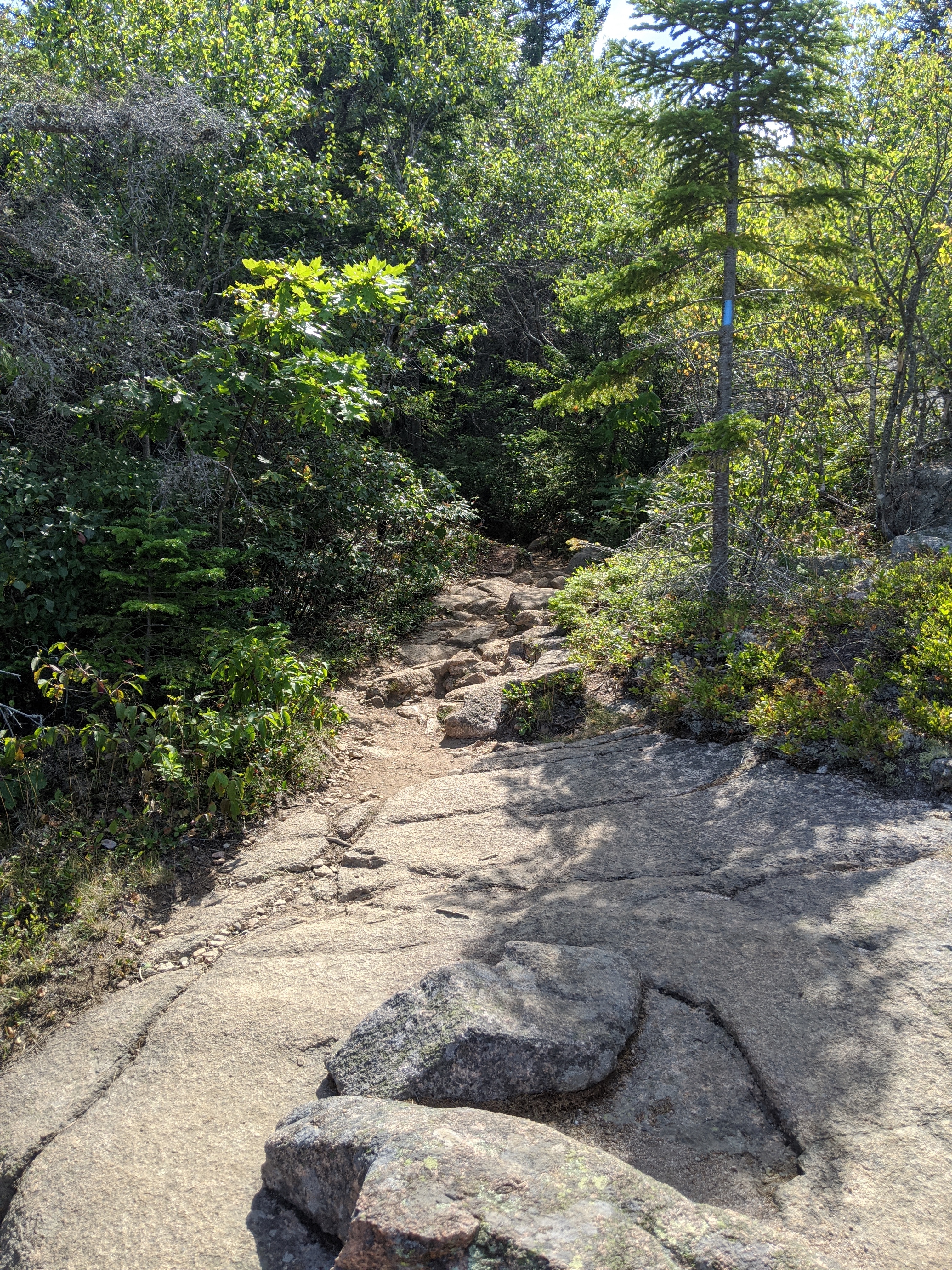
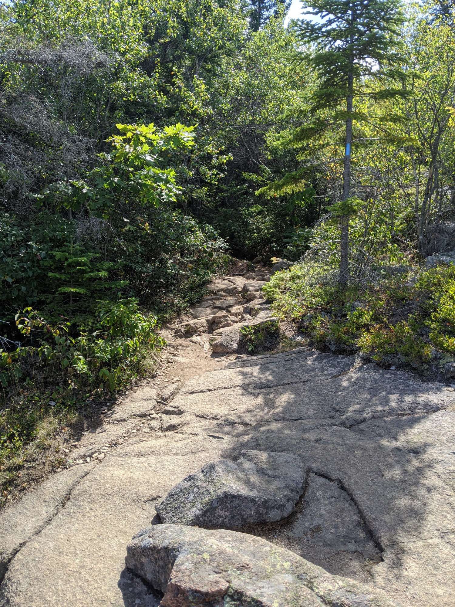
Cadillac North Ridge Trail
Forested area and a tree marked with a blue blaze
Follow blue blazes as the trail goes from a forested path to more exposed areas
Permission must be secured from the individual copyright owners to reproduce any copyrighted materials contained within this website. Digital assets without any copyright restrictions are public domain.
Photo by John Clark, Friends of Acadia, NPS
Public domain:Full Granting Rights
Image
Acadia National Park, Code: ACAD
Latitude: 44.3663083333333, Longitude: -68.23105, Elevation: 212.99
Acadia National Park, Maine
Latitude: 44.3593788146973, Longitude: -68.2397308349609
Acadia National Park, Maine
Latitude: 44.3593788146973, Longitude: -68.2397308349609
08/14/2020
08/14/2020
Public Can View
Monday, August 17, 2020 8:31:10 AM
Monday, August 17, 2020 8:31:10 AM
20200814_CadillacNorthRidge_Hiking (11).jpg
Google Google, Pixel 3
597/1000000 sec at f / 1.8
4.44 mm
ISO 56
Friday, August 14, 2020 8:34:52 PM
jpg
7.7 MB
Scenic