Select Item below to DOWNLOAD - Once item is selected, right click and choose 'save as'
4dc51f77-d130-493e-8be4-f6c8ba95da58
Assateague Island National Seashore Avian Monitoring Intern
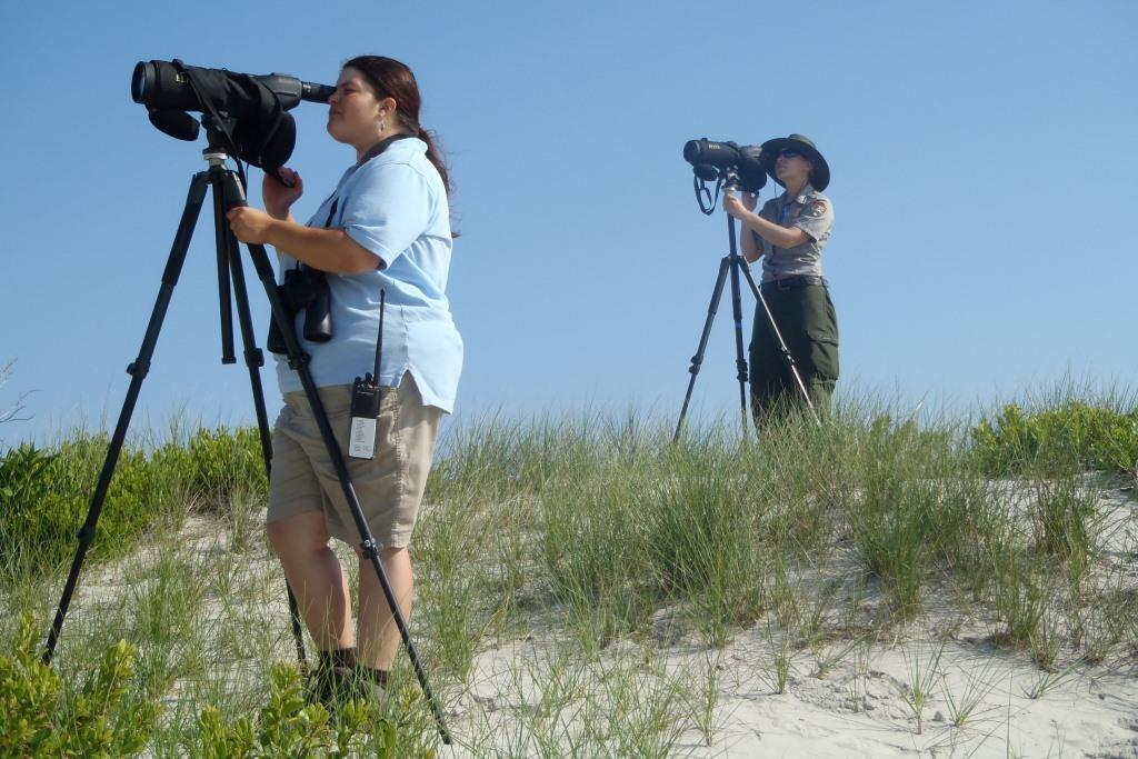
Avian Monitoring staff standing on a grassy sand dune at Assateague Island National Seashore looking at shorebirds through spotting scopes.
OLYMPUS DIGITAL CAMERA
OLYMPUS DIGITAL CAMERA
Permission must be secured from the individual copyright owners to reproduce any copyrighted materials contained within this website. Digital assets without any copyright restrictions are public domain.
Public domain
Image
Assateague Island National Seashore, Code: ASIS
Latitude: 2183275042.13333, Longitude: 2183275042.13333, Elevation: 0
Assateague Island National Seashore
Latitude: 38.0390281677246, Longitude: -75.2496337890625
Assateague Island National Seashore
Latitude: 38.0390281677246, Longitude: -75.2496337890625
05/29/2012
05/29/2012
Public Can View
Person: Liz Davis
Tuesday, February 9, 2021 2:23:48 PM
Tuesday, February 9, 2021 2:23:48 PM
ASIS_avian_monitoring.jpg
OLYMPUS IMAGING CORP. OLYMPUS IMAGING CORP., TG-810
1/500 sec at f / 5.1
10 mm
ISO 80
Tuesday, May 29, 2012 3:20:22 PM
jpg
131.3 kB
Scenic