Select Item below to DOWNLOAD - Once item is selected, right click and choose 'save as'
4d4066b360a14e8c9809f731f0777571
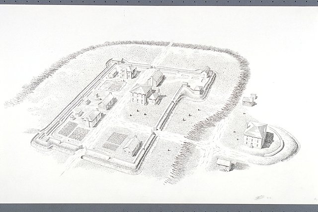
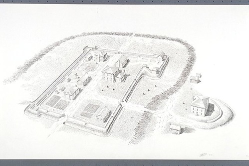
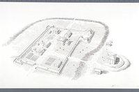
Aerial view of the town of Ninety Six.
Aerial view of the town of Ninety Six.
Abbr=WE
U.S. National Park Service
Reflective Art
Government owns art and all reproduction rights.
Public domain
Image
Ninety Six National Historic Site, Code: NISI
Ninety Six National Historic Site, Greenwood County, South Carolina
Latitude: 34.1427001953125, Longitude: -82.0164031982422
Latitude: 34.1427001953125, Longitude: -82.0164031982422
Image Management System : IMS 05670
20190904
01/01/1985 - 12/30/1985
Image_Size=36" x 24"; Count:17/20; Exhibit 17: "The Town of Ninety Six"/Graphic # 17-4
O 15
Public Can View
Organization: Harpers Ferry Center
Address: Harpers Ferry Center, 67 Mather Place, Harpers Ferry, WV, 25425, 304-535-5050
Address: Harpers Ferry Center, 67 Mather Place, Harpers Ferry, WV, 25425, 304-535-5050
Wednesday, October 9, 2019 12:35:26 PM
Wednesday, October 9, 2019 12:35:26 PM
05670.JPG
jpg
55.1 kB
Museum