Select Item below to DOWNLOAD - Once item is selected, right click and choose 'save as'
4d3612d558d94aff9af5213251199096
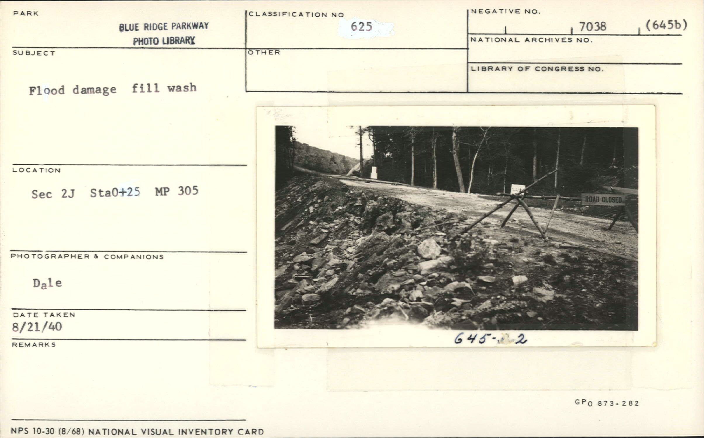
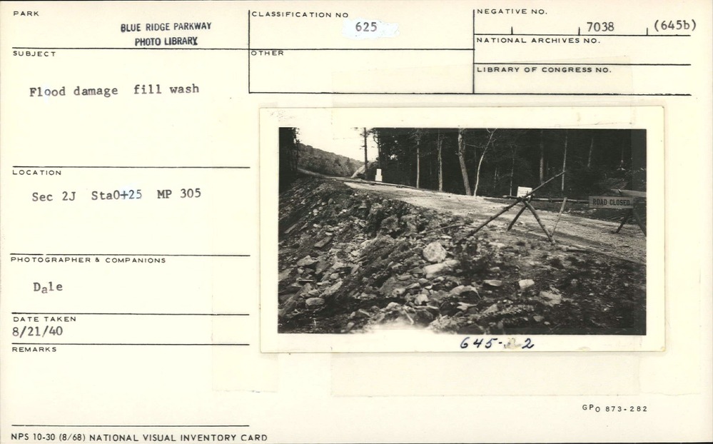
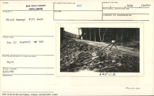
Flood damage near Milepost 305
Flood damage near Milepost 305
Section 2-J, Station 0+25, Milepost 305
U.S. National Park Service
Permission must be secured from the individual copyright owners to reproduce any copyrighted materials contained within this website.
Dale
Public domain
Image
Blue Ridge Parkway, Code: BLRI
Milepost 305, Blue Ridge Parkway
Blue Ridge Parkway
Latitude: 36.4365005493164, Longitude: -81.070556640625
Blue Ridge Parkway
Latitude: 36.4365005493164, Longitude: -81.070556640625
August 21, 1940
08/21/1940
Public Can View
Organization: US National Park Service
Role: Museum Curator
Address: Blue Ridge Parkway Headquarters
Email: blri_info@nps.gov
Role: Museum Curator
Address: Blue Ridge Parkway Headquarters
Email: blri_info@nps.gov
Thursday, February 6, 2020 12:16:27 PM
Thursday, February 6, 2020 12:16:27 PM
0072_MP305_1.tif
tif
10.8 MB
Scenic
,
Historic