Fire and Aviation Management Program, Code: FIRE
Latitude: 38.1845016479492, Longitude: -99.2170028686523
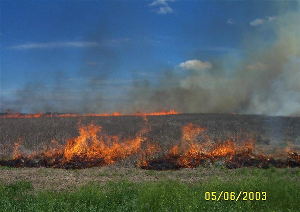
Fort Larned National Historic Site Burn - May 6, 2003
Fort Larned National Historic Site Burn - May 6, 2003
Fort Larned National Historic Site Burn - May 6, 2003
Fort Larned National Historic Site Burn - May 6, 2003
Fort Larned National Historic Site Burn - May 6, 2003
Fort Larned National Historic Site Burn - May 6, 2003
Fort Larned National Historic Site Burn - May 6, 2003
Fort Larned National Historic Site Burn - May 6, 2003