Select Item below to DOWNLOAD - Once item is selected, right click and choose 'save as'
4a4855c8-23ce-44a6-826f-cda338dd15ca
BADL_Sheep_Mountain_Road-South Unit-01
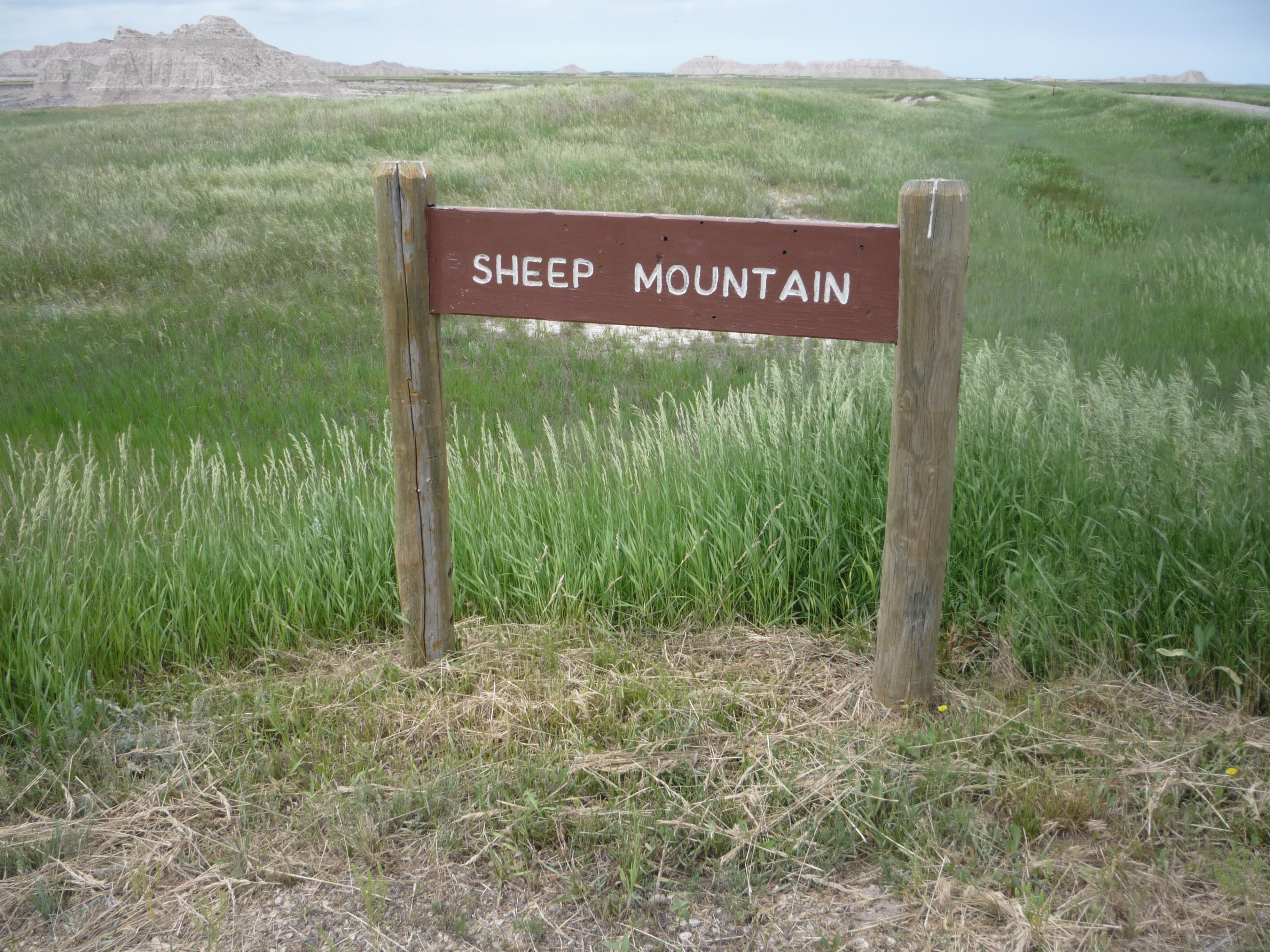
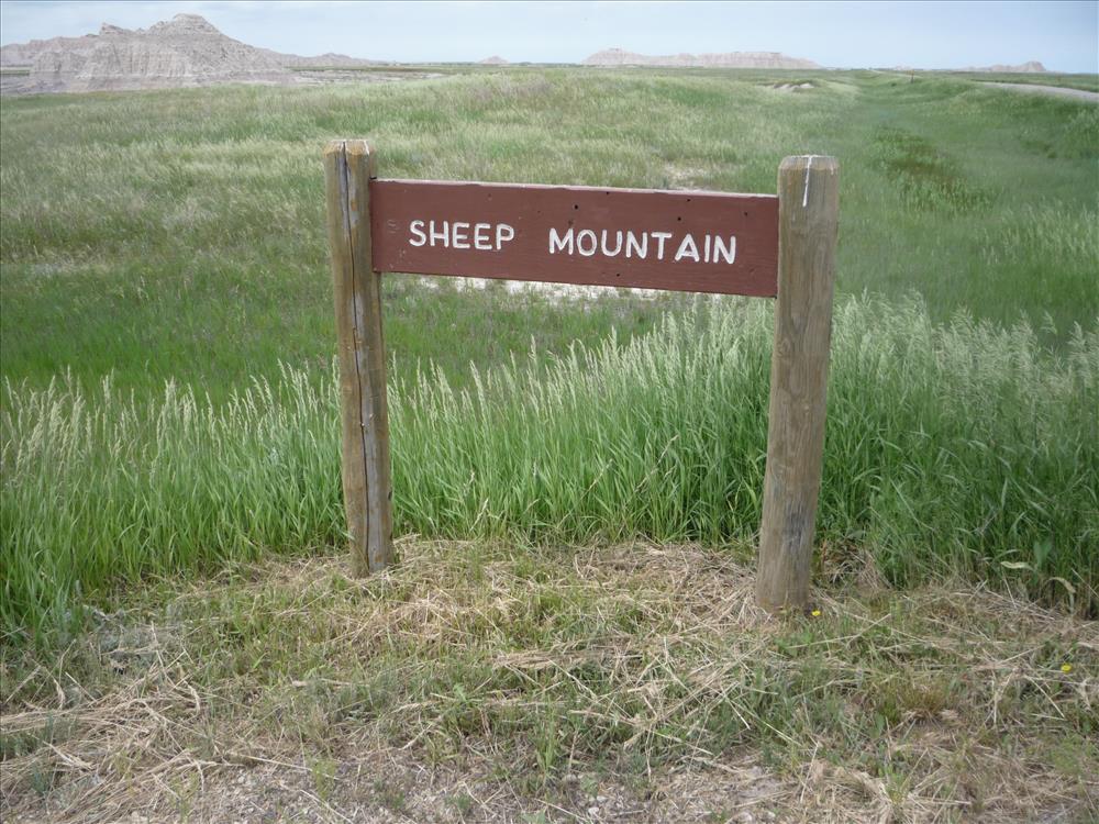
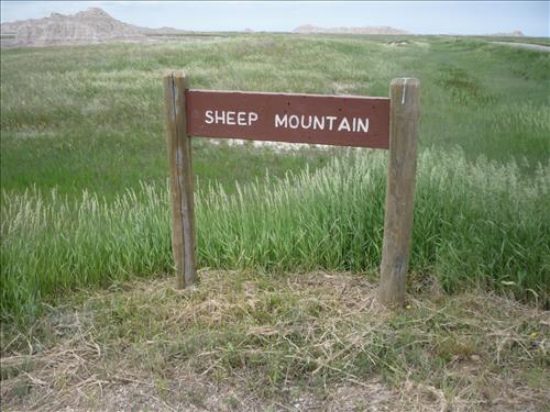
Sheep Mountain Road, lies in the park's South Unit. The road is 7.62 miles in length. Road surface is gravel for 4.5 miles to Gunnery Range Over Look. The of road surface after Gunnery Range Over Look is native soil and for high clearance vehicles only. 2.25 miles of Sheep Mountain Road lies within Pine Ridge Indian Reservation.
U.S. National Park Service
Permission must be secured from the individual copyright owners to reproduce any copyrighted materials contained within this website. Digital assets without any copyright restrictions are public domain.
Public domain
Image
Badlands National Park, Code: BADL
South Unit - Sheep Mountain Table, Badlands National Park, South Dakota
Latitude: 43.8339996337891, Longitude: -102.393898010254

FMSS (Location Number) : FMSS Location: 43362
Legacy NPS Focus Record ID : 460353
06/09/2010
06/09/2010
Born Digital
Public Can View
BADL Facility Management
Ken Thompson
Tuesday, November 1, 2011 2:58:38 PM
Wednesday, August 9, 2017 7:02:37 PM
BADL-94099087ec694c33b26288b6faa7e669.jpg
Panasonic Panasonic, DMC-FS20
10/4000 sec at f / 4.5
5.2 mm
ISO 100
Wednesday, June 9, 2010 7:41:13 PM
jpg
5.1 MB
Inventory