Select Item below to DOWNLOAD - Once item is selected, right click and choose 'save as'
49f17f0e-a49b-42b6-be02-d8172232e7c0
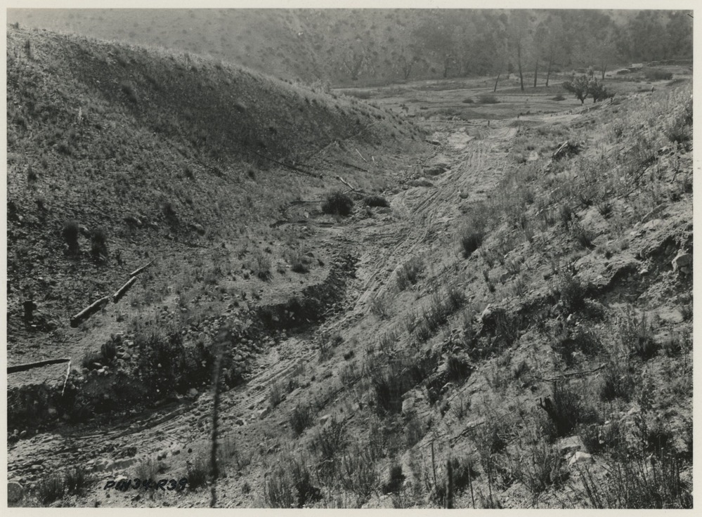
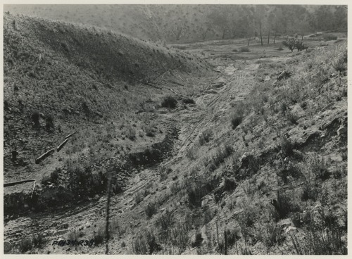
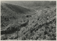
Before Lining Ditch Above Chalone Creek Road
Before Lining Ditch Above Chalone Creek Road
Prior to construction of lined ditch above Chalone Creek Road (CA-SBN-217H).
U.S. National Parks Service
This digital asset is in the public domain. When using this asset for any purpose, including online, credit: 'Courtesy U.S. National Parks, Pinnacles National Park'
NPS / C.O. Roberts
Public domain
Image
Pinnacles National Park, Code: PINN
Pinnacles National Park, California
Latitude: 36.4753494262695, Longitude: -121.173400878906
Latitude: 36.4753494262695, Longitude: -121.173400878906
1934
Original ID PIN34R39, "Chalone Creek Road, 400 feet to right of 27+00, looking west, 4'x6" box culvert to be built to care for run-off from this canyon.", 4.25 x 3.25 inches
Catalog NO: 4372 ; Box NO: Binder 2 ; Location: FOVA munitions
Public Can View
Organization: Pinnacles National Park
Address: 5000 East Entrance Rd., Paicines, CA 95043, tel: 831-389-4486
Address: 5000 East Entrance Rd., Paicines, CA 95043, tel: 831-389-4486
Tuesday, May 20, 2025 4:42:13 PM
Tuesday, May 20, 2025 4:42:13 PM
PINN_4372_0254.tif
tif
9.0 MB
Historic