Select Item below to DOWNLOAD - Once item is selected, right click and choose 'save as'
47e14cf1-7219-4264-8404-77d9b7fc6668
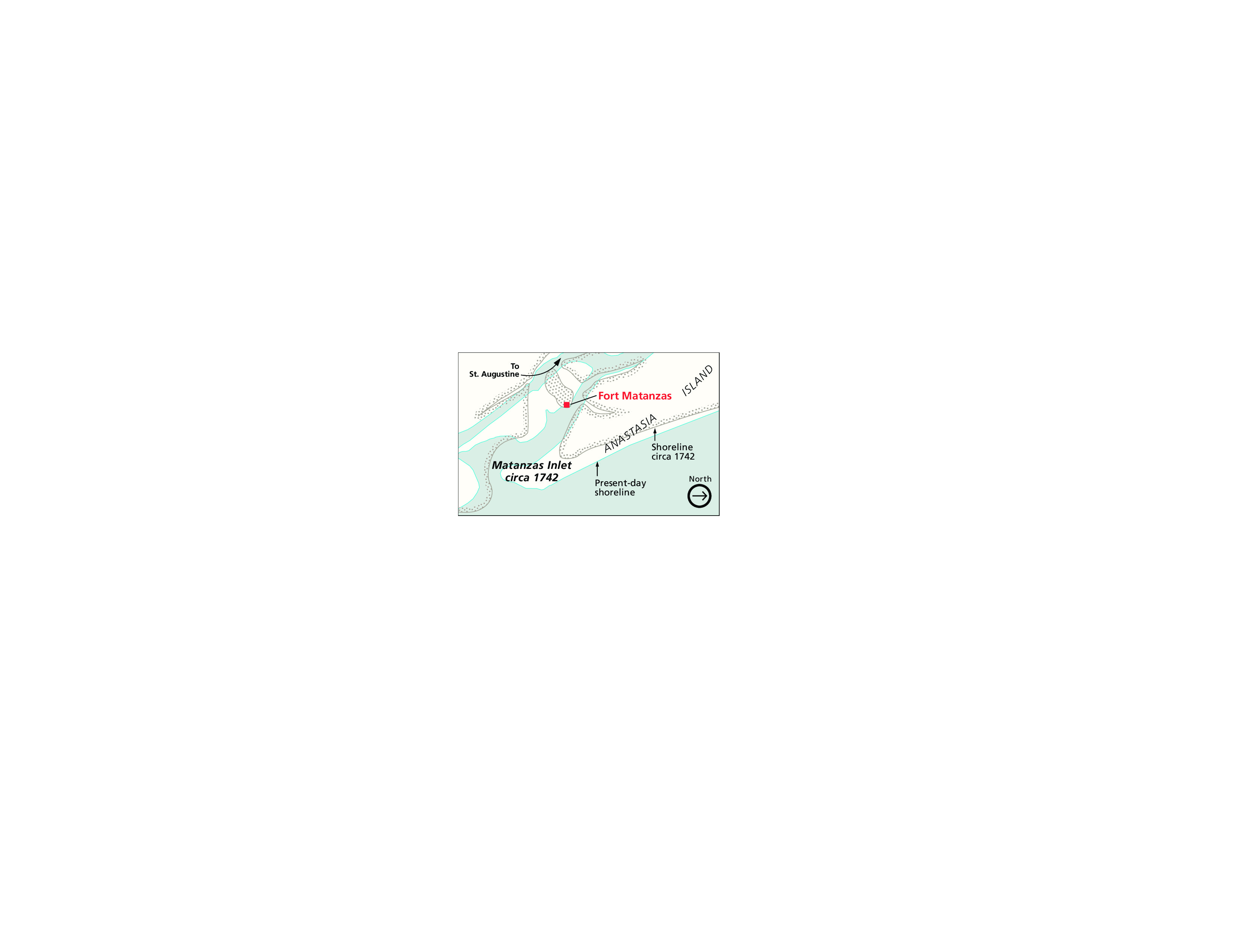
Inlet Map - Fort Matanzas National Monument
Inlet map of Fort Matanzas National Monument in Florida. The land is cream white and the water pale blue. The present-day shorelines are highlighted in neon blue and the shoreline circa 1742 are indicated with gray lines and dots.
Screen-viewable file; Adobe print production files can be downloaded from the Compressed zip Version link
Map Projection: Other; Map Type: unassigned
U.S. National Park Service
The National Park Service maps are government produced and are in the public domain. Anyone may, without restriction under U.S. copyright laws: Reproduce the work in print or digital form; Create derivative works; Perform the work publicly; Display the work; Distribute copies or digitally transfer the work to the public by sale or other transfer of ownership, or by rental, lease, or lending. Please note, a user who modifies and/or republishes National Park Service maps are responsible for any problems encountered with the maps, due to their change or modification.
Public domain
Document
Fort Matanzas National Monument, Code: FOMA
Fort Matanzas National Monument, St. Johns County, Florida
Latitude: 29.7113990783691, Longitude: -81.2387008666992
Latitude: 29.7113990783691, Longitude: -81.2387008666992
2011-03-28
Public Can View
Person: Harpers Ferry Center
Organization: US National Park Service
Address: Harpers Ferry Center, Harpers Ferry, WV
Email: HFC_Cartography@nps.gov
Organization: US National Park Service
Address: Harpers Ferry Center, Harpers Ferry, WV
Email: HFC_Cartography@nps.gov
Tuesday, April 26, 2022 1:59:08 PM
Friday, September 26, 2025 11:35:08 PM
FOMAmap3.pdf
pdf
859.6 kB
Map