Select Item below to DOWNLOAD - Once item is selected, right click and choose 'save as'
451978ca-68fa-46ee-9bc8-4c6da11e0fc6
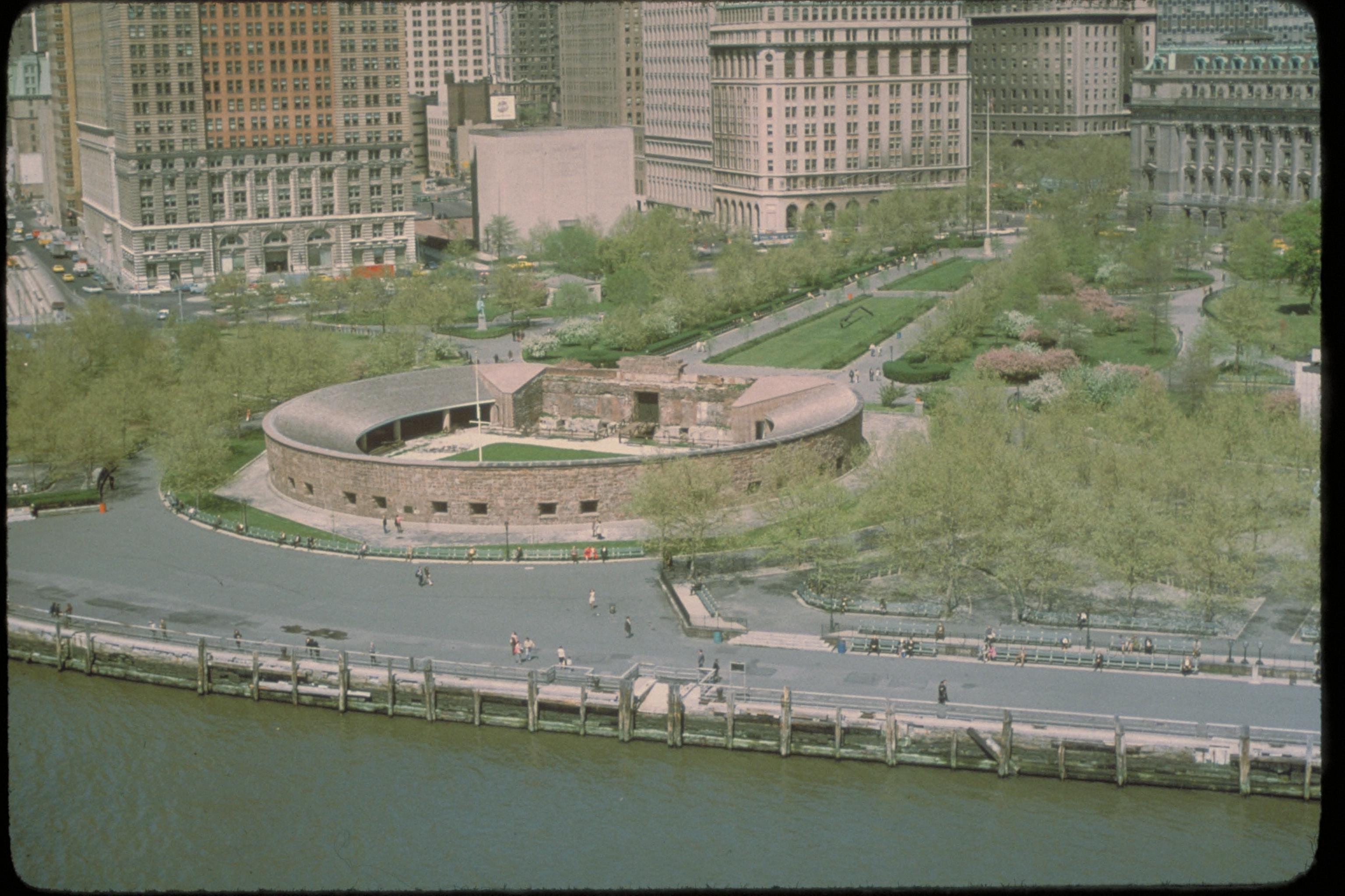
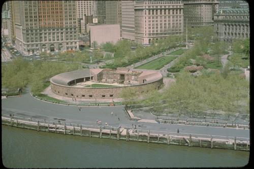
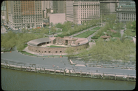
Aerial views of Castle Clinton National Monument, New York
Aerial views of Castle Clinton. More than a dozen forts were built to defend New York Harbor at the time of the War of 1812. The Southwest Battery was constructed on the rocks off the tip of Manhattan Island between 1808 and 1811. Although fully armed and staffed, the fort never had occasion to fire upon an enemy. In 1817, the fort was renamed Castle Clinton in honor of DeWitt Clinton, Mayor of New York City.
National Park Service
Permission must be secured from the individual copyright owners to reproduce any copyrighted materials contained within this website. Digital assets without any copyright restrictions are public domain.
Public domain
Image
Castle Clinton National Monument, Code: CACL
Castle Clinton National Monument, New York County, New York
Latitude: 40.703498840332, Longitude: -74.0167999267578
Latitude: 40.703498840332, Longitude: -74.0167999267578
Legacy NPS Focus Record ID : 231483
Title: NPS Office of Communications and Public Affairs Photo Library
URL: http://www.nps.gov/pub_aff/imagebase.html
URL: http://www.nps.gov/pub_aff/imagebase.html
01/05/2004
01/01/1980 - 12/30/1999
Digital image (TIF ; 18.0 MB; 3072 x 2048 ; 300 dpi; 24 bit color). Encoded as MrSID format
Wednesday, September 29, 2004 6:26:08 PM
Wednesday, August 9, 2017 6:32:10 PM
cacl_aerial_4706.jpg
Monday, January 1, 0001 12:00:00 AM
jpg
629.4 kB
Scenic