Select Item below to DOWNLOAD - Once item is selected, right click and choose 'save as'
435ab4da-85e8-4731-90e1-2f0fec0a093e
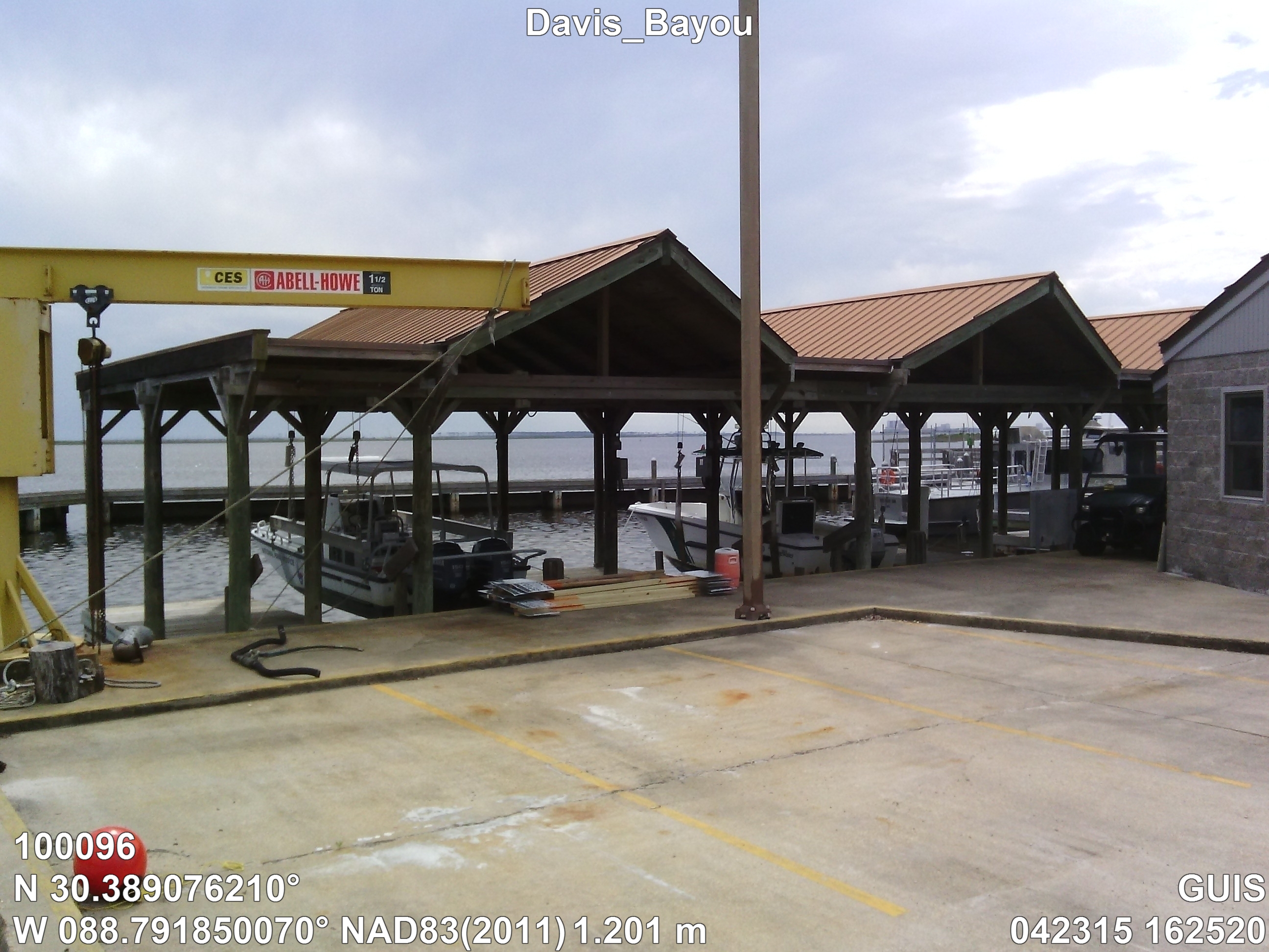
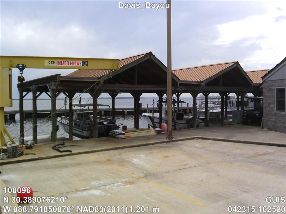
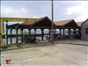
Davis_Bayou
DB Gov't Boat Dock Shelter (MS20)
100096
4100
Permission must be secured from the individual copyright owners to reproduce any copyrighted materials contained within this website. Digital assets without any copyright restrictions are public domain.
Public domain
Asset Inventory, (NPS Focus Subject Thesaurus)
, Buildings, (NPS Focus Subject Thesaurus)
, Elevations, (NPS Focus Subject Thesaurus)
, FMSS, (NPS Focus Subject Thesaurus)
, Buildings, (NPS Focus Subject Thesaurus)
, Elevations, (NPS Focus Subject Thesaurus)
, FMSS, (NPS Focus Subject Thesaurus)
Image
Gulf Islands National Seashore, Code: GUIS
Gulf Islands National Seashore, Mississippi
Latitude: 30.3730602264404, Longitude: -86.9099731445313, Elevation: 1.201
Latitude: 30.3730602264404, Longitude: -86.9099731445313, Elevation: 1.201
FMSS (Location Number) : 100096
04/23/2015
04/23/2015
Public Can View
Organization: FMGIS
Email: Brian_Diethorn@partner.nps.gov
Email: Brian_Diethorn@partner.nps.gov
Monday, November 9, 2015 5:31:14 PM
Wednesday, August 9, 2017 6:22:42 PM
100096_042315_162520_tag.jpg
Pegatron Pegatron, Getac Z710
812/1000000 sec at f / 2.8
3.37 mm
ISO 71
Thursday, April 23, 2015 9:27:24 PM
jpg
2.3 MB
Source: ELEVATIONNAVD88
Content: 1.201
Content: 1.201
Inventory