Select Item below to DOWNLOAD - Once item is selected, right click and choose 'save as'
42ef2ba1-9c4d-47bc-ab51-3edb27717db3
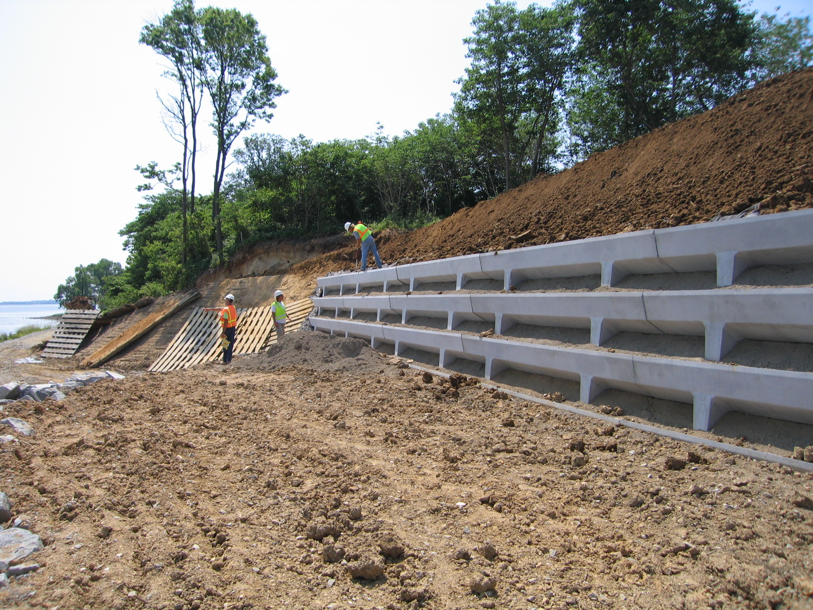
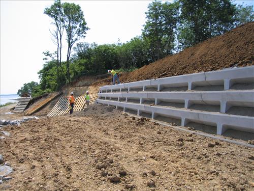
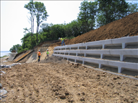
Rehabilitate Shoreline & Seawalls / Bluff Stabilization - Phase I
Project included raising the level of riprap around the shoreline of the bluff, constructing an eight foot wide path around the toe of the bluff, constructing a concrete cell wall at the base of the slope, and regarding the top thirty feet of the bluff. The repairs were concentrated along a section of fluff located along the northwest corner of the unit. The repairs generally included raising he height of approximately 650 feet of the existing riprap revetment along the shoreline of the two rivers; removal of vegetation and loose and unstable soil from the toe and face of the bluff; constructing a 450 foot long low height pre-cast concrete retaining wall at the base of the bluff; and then backfilling behind the wall and against the existing slope with an open graded coarse aggregate to control drainage. The top of the wall was built to elevation 16 feet NVGD. A geotextile was used as a filter media to separate the natural soils from the coarse aggregates. The finished slop behind the wall was maintained at a 2 horizontal to 1 vertical slope. An additional 890 tons of riprap was added to the height of the revetment along the project shoreline and thereby provide additional storm protection to the area. The area between the revetment and the retaining was backfilled and a small path was maintained between the toe of the wall and the riprap revetment for public and park access. The finished slope was covered with a geo-cell geo-textile which was filled with topsoil and seeded.
Permission must be secured from the individual copyright owners to reproduce any copyrighted materials contained within this website. Digital assets without any copyright restrictions are public domain.
Public domain
Bluff, ()
, Shoreline, ()
, Seawall, ()
, Retaining Wall, ()
Image
Petersburg National Battlefield, Code: PETE
City Point, Petersburg National Battlefield, Virginia
Latitude: 37.2270584106445, Longitude: -77.3642272949219

FMSS (Workorder) : 351511
PMIS (Project Management Information System) : 108068
Legacy NPS Focus Record ID : 249153
06/01/2007
10/01/2006 - 09/29/2007
Public Can View
Petersburg National Battlefield
Greg Sprinkle
Tuesday, February 17, 2009 10:04:44 AM
Wednesday, August 9, 2017 6:19:40 PM
PETE-14269b3eea7f459c8149fcb2519cce59.jpg
Canon Canon, Canon PowerShot S60
1/1000 sec at f / 3.2
5.8125 mm
Friday, June 1, 2007 4:04:37 PM
jpg
980.9 kB
Inventory