Select Item below to DOWNLOAD - Once item is selected, right click and choose 'save as'
421fbec7-5877-4ac9-a87a-e2caecc36be6
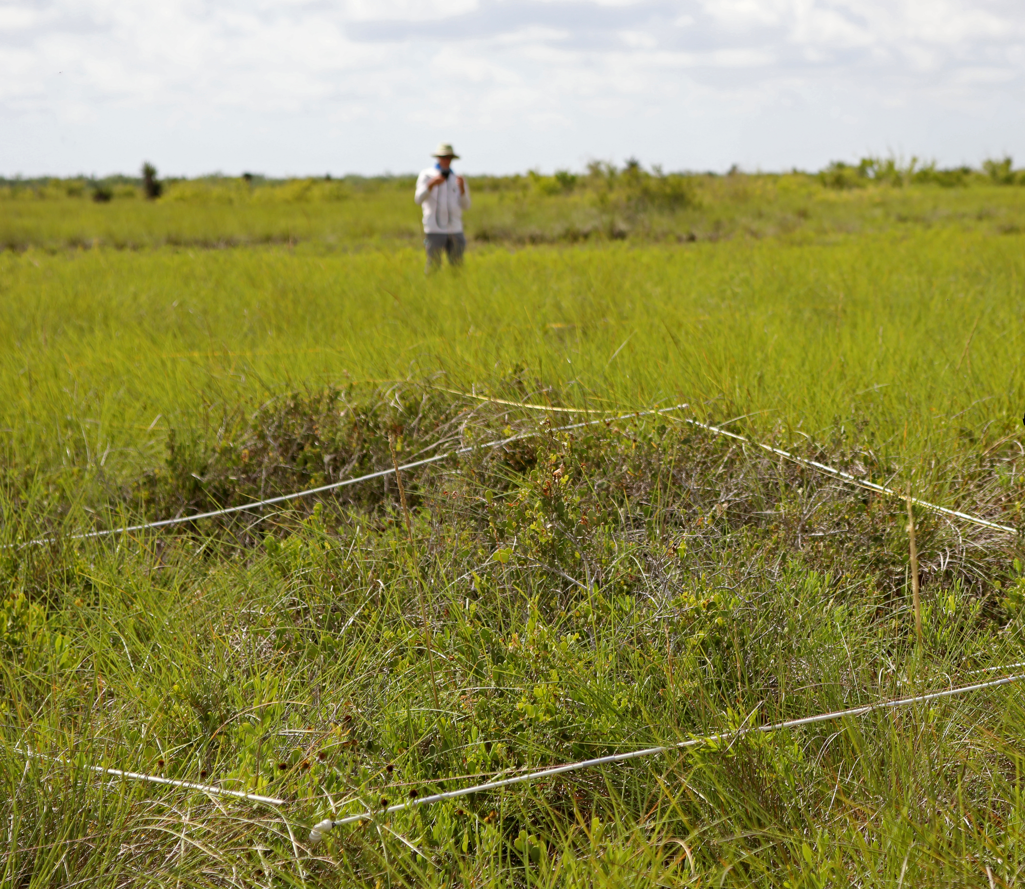
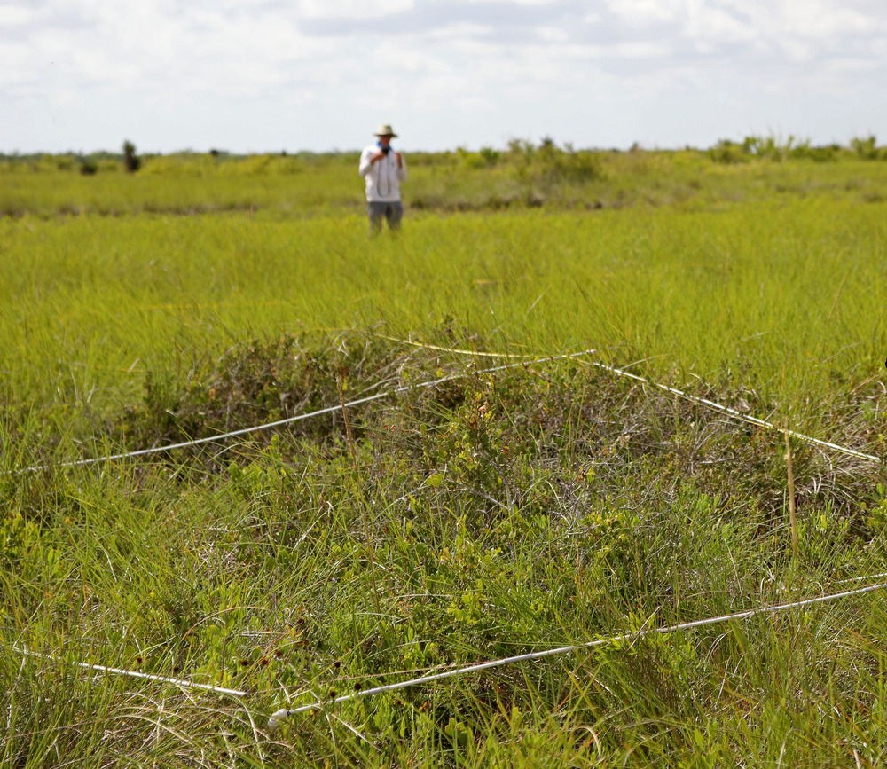
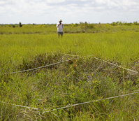
Field crew sampling cordgrass plot in salt prairie
View into a salt prairie with a square sampling frame in the foreground and a person standing in the background
At Palo Alto Battlefield NHP, there are three long-term vegetation monitoring plots in the park’s salt prairie plant community. The1846 battle was carried out, for the most part, within this vital plant community for the park. This photo shows a crew member standing behind the perimeter tapes and sampling frame, which for this plot, captures a dense stand of cordgrass (Spartina spartinae).
Permission must be secured from the individual copyright owners to reproduce any copyrighted materials contained within this website. Digital assets without any copyright restrictions are public domain.
GULN/NPS
Public domain:Full Granting Rights
Image
Palo Alto Battlefield National Historical Park, Code: PAAL
Palo Alto Battlefield National Historical Park, Cameron County, Texas
Latitude: 26.0247001647949, Longitude: -97.4626998901367
Latitude: 26.0247001647949, Longitude: -97.4626998901367
06/29/2023
06/29/2023
Public Can View
Wednesday, May 28, 2025 6:44:52 PM
Tuesday, June 10, 2025 9:17:25 PM
Field crew sampling cordgrass plot in salt prairie.jpg
Canon Canon, Canon EOS 5D Mark IV 100, 24-70mm
1/320 sec at f / 6.3
70 mm
ISO 100
Thursday, June 29, 2023 10:14:29 AM
jpg
11.3 MB
Scenic