Select Item below to DOWNLOAD - Once item is selected, right click and choose 'save as'

4170CA8E-FD27-7641-1BB427F341900F89
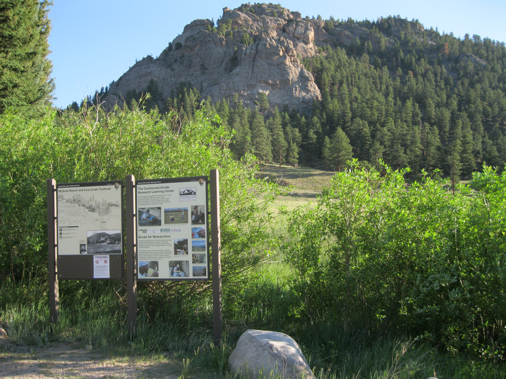
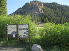
Topography around the McGraw Ranch
An interpretive sign stands in front of a flat, open meadow and sharp rocky outcropping, dotted with pines.
McGraw Ranch. This region of the Rocky Mountains is characterized by mountain slopes and ridges, cut with streams and drainage routes. At the McGraw Ranch site, the Cow Creek valley is fairly open and gentle with grassy meadows and steep, forested side slopes. The landscape is also defined by the rock outcroppings that surround the site. Buildings, roads, and irrigation were built in response to the topography.
U.S. National Park Service
Permission must be secured from the individual copyright owners to reproduce any copyrighted materials contained within this website. Digital assets without any copyright restrictions are public domain.
NPS/Meg Frisbie, 2012
Public domain:Full Granting Rights
Image
Rocky Mountain National Park, Code: ROMO
40.43109, -105.50054
Rocky Mountain National Park, Colorado
Latitude: 40.3570594787598, Longitude: -105.70369720459
Rocky Mountain National Park, Colorado
Latitude: 40.3570594787598, Longitude: -105.70369720459
Public Can View
Wednesday, September 12, 2018 12:39:39 PM
Wednesday, September 12, 2018 12:39:39 PM
4170D594-F2A5-5CA4-61637CE9D4B8A732.jpg
Canon Canon, Canon PowerShot A3100 IS
1/500 sec at f / 2.7
6.2 mm
ISO 125
Monday, June 18, 2012 3:10:15 PM
jpg
378.5 kB
Scenic