Select Item below to DOWNLOAD - Once item is selected, right click and choose 'save as'
4166708e-da20-40e3-b7f5-5a383e22bf7b
KittatinnyPoint_AccessRoad_NPSPhoto_Cuff,Michael_05.2021-1.jpg
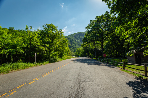
The tree-lined road leading to Kittatinny Point with a split-rail fence along the right side.
The tree-lined road leading to Kittatinny Point with a split-rail fence along the right side.
Permission must be secured from the individual copyright owners to reproduce any copyrighted materials contained within this website. Digital assets without any copyright restrictions are public domain.
Michael L. Cuff
Public domain:Full Granting Rights
Image
Delaware Water Gap National Recreation Area, Code: DEWA
Delaware Water Gap National Recreation Area
Latitude: 41.1003189086914, Longitude: -74.9569320678711
Latitude: 41.1003189086914, Longitude: -74.9569320678711
05/23/2021
05/23/2021
Public Can View
Thursday, July 14, 2022 6:44:49 PM
Thursday, July 14, 2022 6:47:24 PM
KittatinnyPoint_AccessRoad_NPSPhoto_Cuff,Michael_05.2021-1.jpg
Canon Canon, Canon EOS 5D Mark III 800, EF17-40mm f/4L USM
1/125 sec at f / 13
17 mm
ISO 800
Sunday, May 23, 2021 9:13:52 AM
jpg
7.1 MB
Scenic