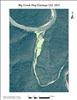
Latitude: 35.9686393737793, Longitude: -92.9181137084961
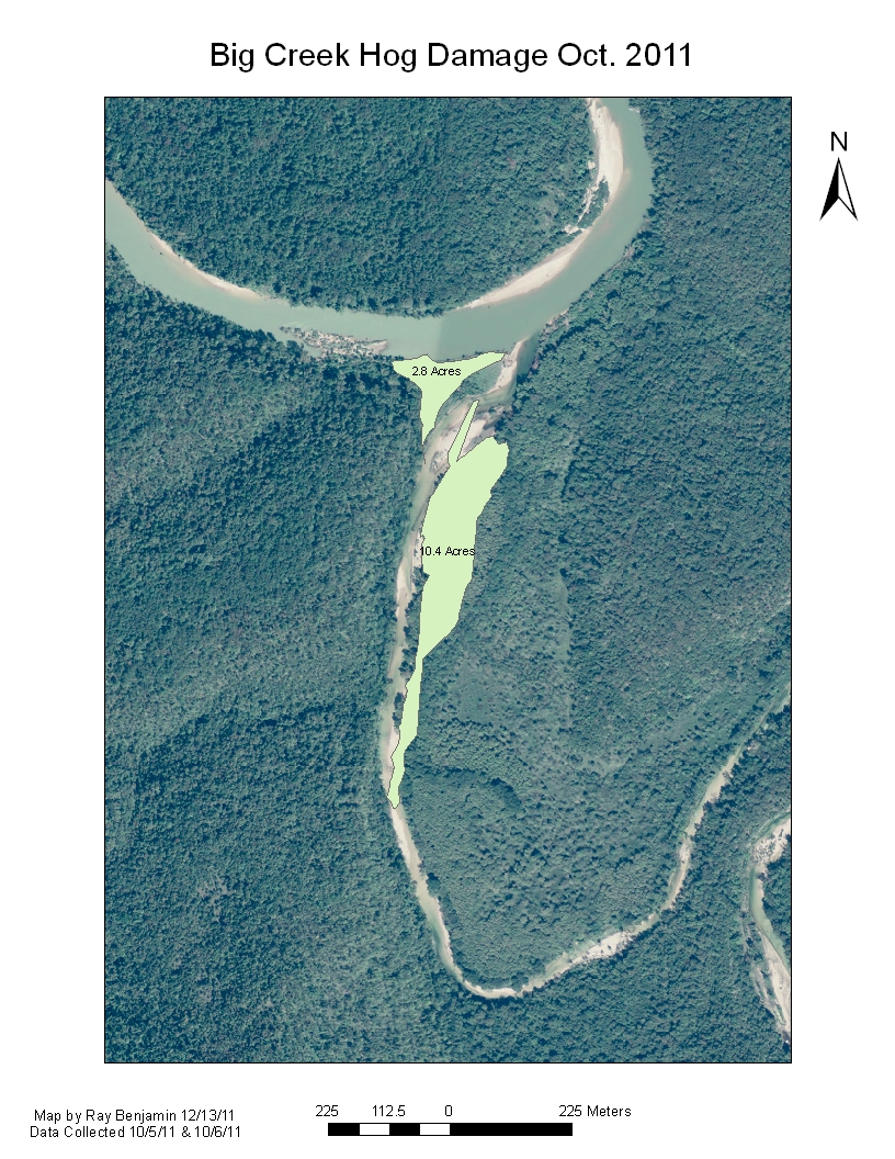
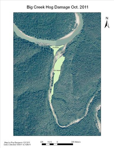
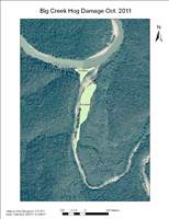
Feral Hog Damage At Big Creek and Sanders Field, Buffalo National River
Feral Hog Damage At Big Creek and Sanders Field, Buffalo National River
Feral Hog Damage At Big Creek and Sanders Field, Buffalo National River
Feral Hog Damage At Big Creek and Sanders Field, Buffalo National River
Feral Hog Damage At Big Creek and Sanders Field, Buffalo National River
Feral Hog Damage At Big Creek and Sanders Field, Buffalo National River
Feral Hog Damage At Big Creek and Sanders Field, Buffalo National River
Feral Hog Damage At Big Creek and Sanders Field, Buffalo National River
Feral Hog Damage At Big Creek and Sanders Field, Buffalo National River
Feral Hog Damage At Big Creek and Sanders Field, Buffalo National River