Latitude: 43.8190002441406, Longitude: -102.324996948242
PMIS (Project Management Information System) : PMIS 152239
Legacy NPS Focus Record ID : 435213
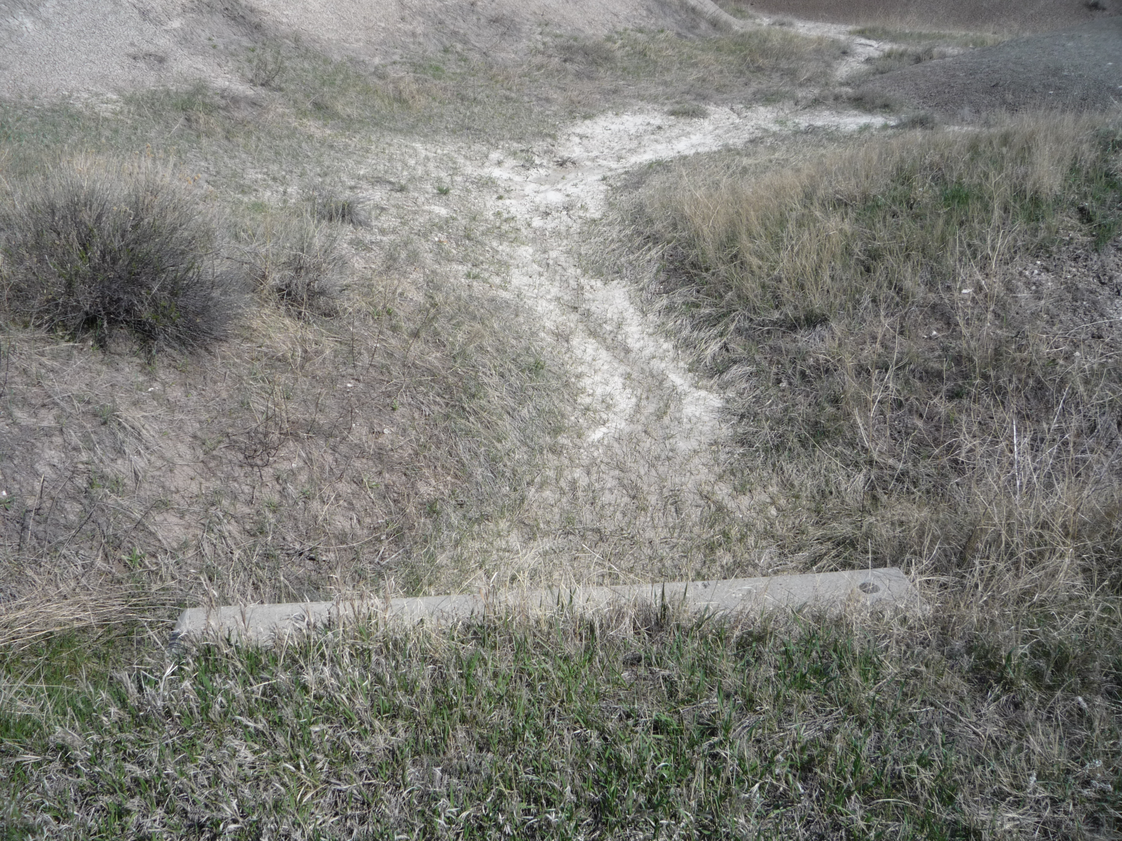
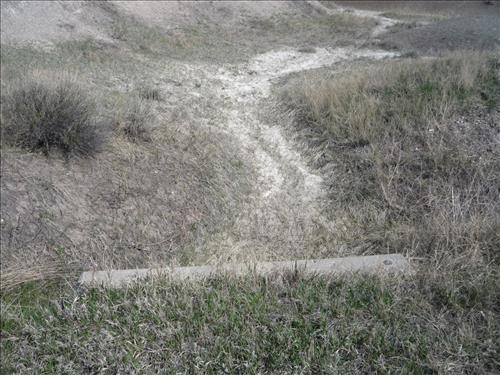
BADL Facility Management Collection: Loop Road (RT10) - FY10 Culverts and Drainage Ditches
BADL Facility Management Collection: Loop Road (RT10) - FY10 Culverts and Drainage Ditches
BADL Facility Management Collection: Loop Road (RT10) - FY10 Culverts and Drainage Ditches
BADL Facility Management Collection: Loop Road (RT10) - FY10 Culverts and Drainage Ditches
BADL Facility Management Collection: Loop Road (RT10) - FY10 Culverts and Drainage Ditches
BADL Facility Management Collection: Loop Road (RT10) - FY10 Culverts and Drainage Ditches
BADL Facility Management Collection: Loop Road (RT10) - FY10 Culverts and Drainage Ditches
BADL Facility Management Collection: Loop Road (RT10) - FY10 Culverts and Drainage Ditches
BADL Facility Management Collection: Loop Road (RT10) - FY10 Culverts and Drainage Ditches
BADL Facility Management Collection: Loop Road (RT10) - FY10 Culverts and Drainage Ditches
BADL Facility Management Collection: Loop Road (RT10) - FY10 Culverts and Drainage Ditches
BADL Facility Management Collection: Loop Road (RT10) - FY10 Culverts and Drainage Ditches
BADL Facility Management Collection: Loop Road (RT10) - FY10 Culverts and Drainage Ditches