Select Item below to DOWNLOAD - Once item is selected, right click and choose 'save as'
3fc2613f-b0b5-4350-ad07-faa1b5f74efe
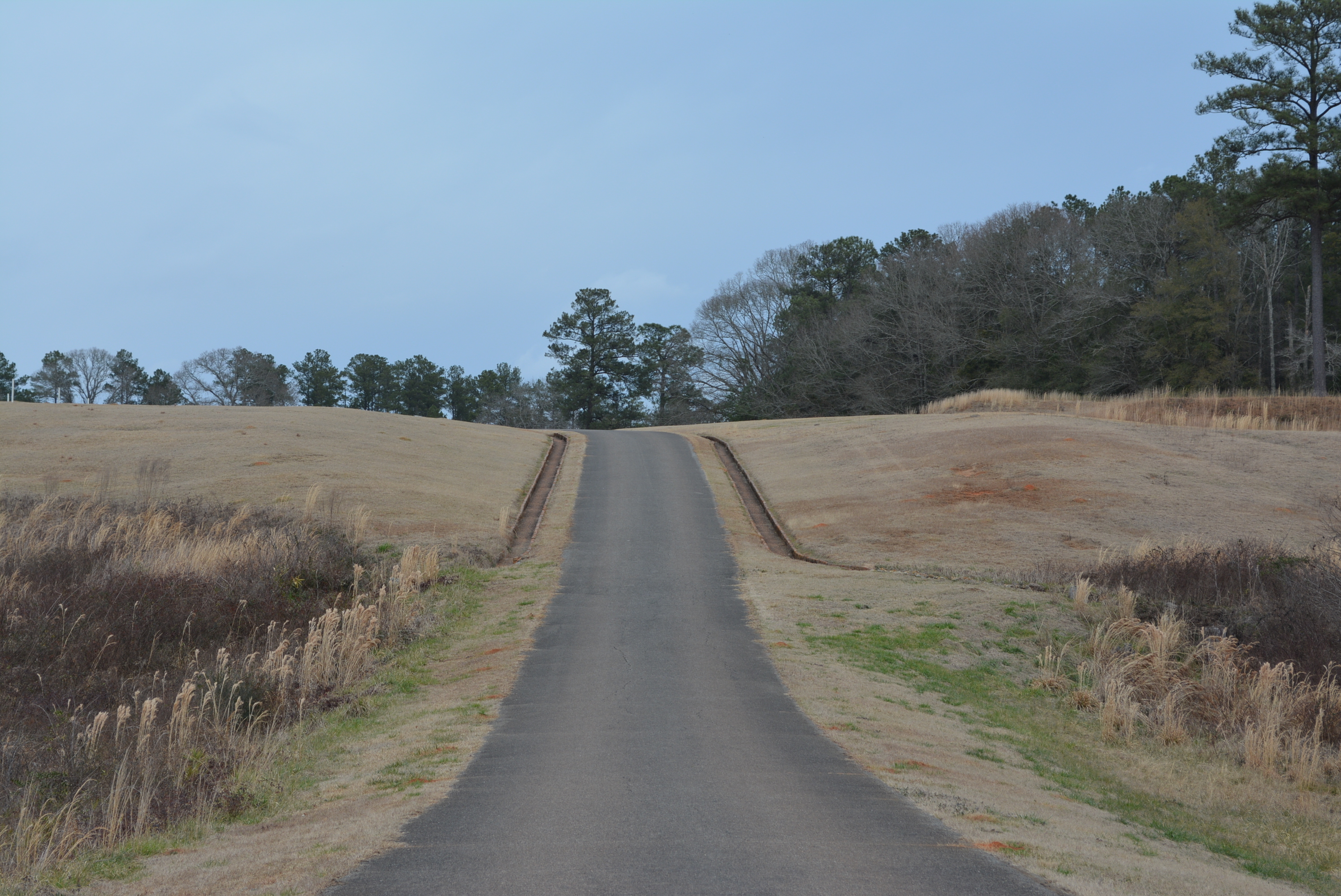
Road to Shelter Corner
Paved road leading uphill surrounded by grass and drainage ditches.
A view from the road leading to the Shelter Corner.
Permission must be secured from the individual copyright owners to reproduce any copyrighted materials contained within this website. Digital assets without any copyright restrictions are public domain.
NPS/ANDE
Public domain:Full Granting Rights
Image
Andersonville National Historic Site, Code: ANDE
Andersonville National Historic Site, Georgia
Latitude: 32.1978797912598, Longitude: -84.1306381225586
Latitude: 32.1978797912598, Longitude: -84.1306381225586
02/21/2016
02/21/2016
Public Can View
Sunday, February 14, 2021 9:59:56 AM
Sunday, February 14, 2021 9:59:56 AM
DSC_0366.JPG
NIKON CORPORATION NIKON CORPORATION, NIKON D5200
10/2500 sec at f / 8
55 mm
ISO 140
Sunday, February 21, 2016 9:05:31 PM
jpg
4.2 MB
Scenic