Select Item below to DOWNLOAD - Once item is selected, right click and choose 'save as'
3e9d3dc7-e119-40be-a64a-5a38f988f10b
COLO
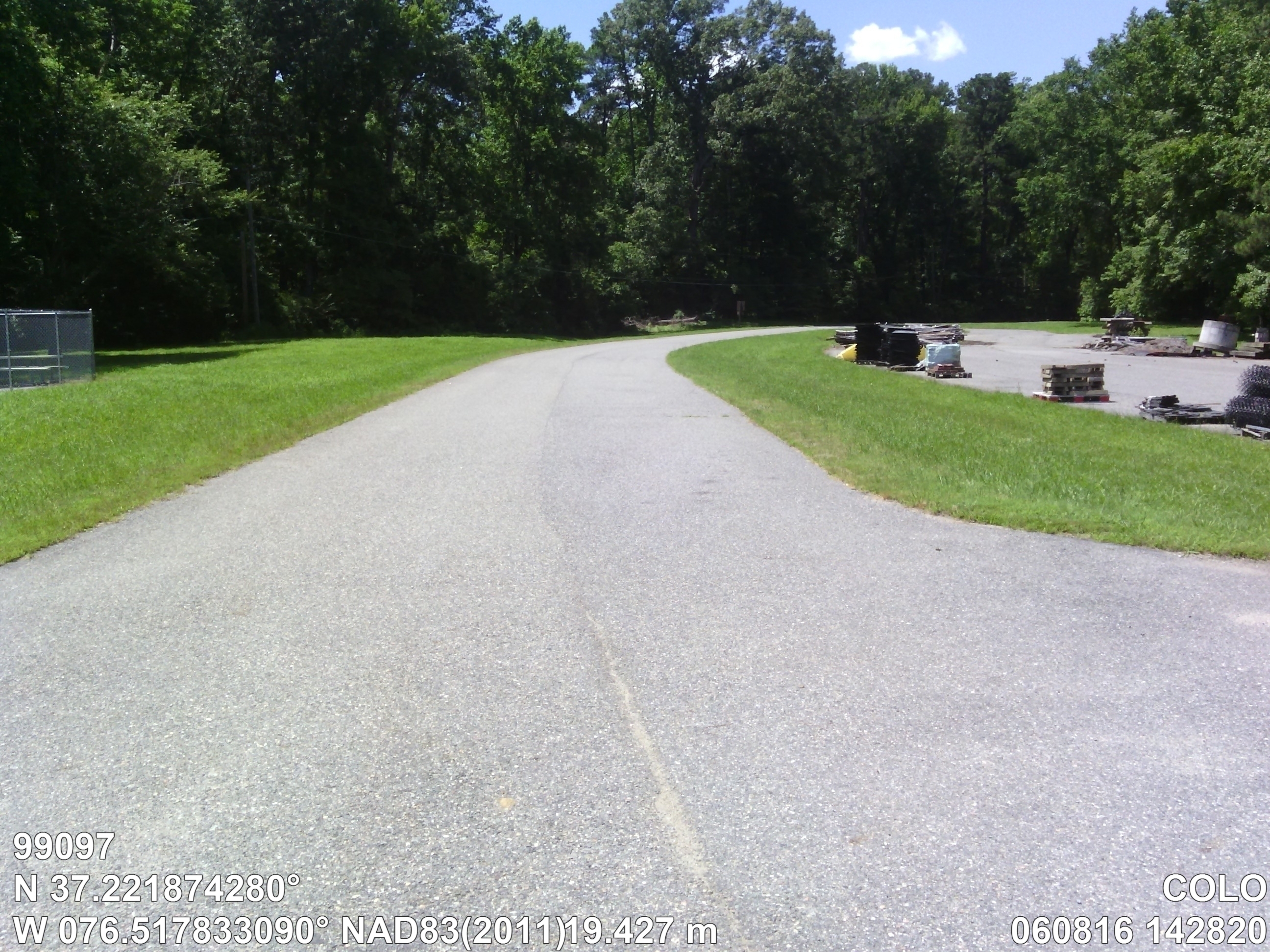
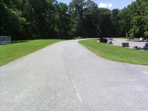
Yorktown Maintenance Utility Road Rt 400
Image with visible watermark of coordinates, elevations date, time and park code.
99097
1100
Permission must be secured from the individual copyright owners to reproduce any copyrighted materials contained within this website. Digital assets without any copyright restrictions are public domain.
Public domain
Asset Inventory, (NPS Focus Subject Thesaurus)
, Coastal, (NPS Focus Subject Thesaurus)
, Elevations, (NPS Focus Subject Thesaurus)
, FMSS, (NPS Focus Subject Thesaurus)
, Coastal, (NPS Focus Subject Thesaurus)
, Elevations, (NPS Focus Subject Thesaurus)
, FMSS, (NPS Focus Subject Thesaurus)
Image
Colonial National Historical Park, Code: COLO
Virginia
Latitude: 37.22187428, Longitude: -76.51783309, Elevation: 19.427
Latitude: 37.22187428, Longitude: -76.51783309, Elevation: 19.427
FMSS (Location Number) : 99097
06/08/2016
06/08/2016
Public Can View
Organization: FMGIS
Email: Brian_Diethorn@partner.nps.gov
Email: Brian_Diethorn@partner.nps.gov
Tuesday, December 13, 2016 4:41:52 PM
Wednesday, August 9, 2017 5:53:24 PM
99097_060816_142820_tag.jpg
Pegatron Pegatron, Getac Z710
939/1000000 sec at f / 2.8
3.37 mm
ISO 71
Wednesday, June 8, 2016 8:27:59 PM
jpg
3.3 MB
Source: LOCALTIDAL_MSL
Content: 19.493
Content: 19.493
Inventory