Select Item below to DOWNLOAD - Once item is selected, right click and choose 'save as'
3e7e45fdc492494782d2c4dcbd686a0a
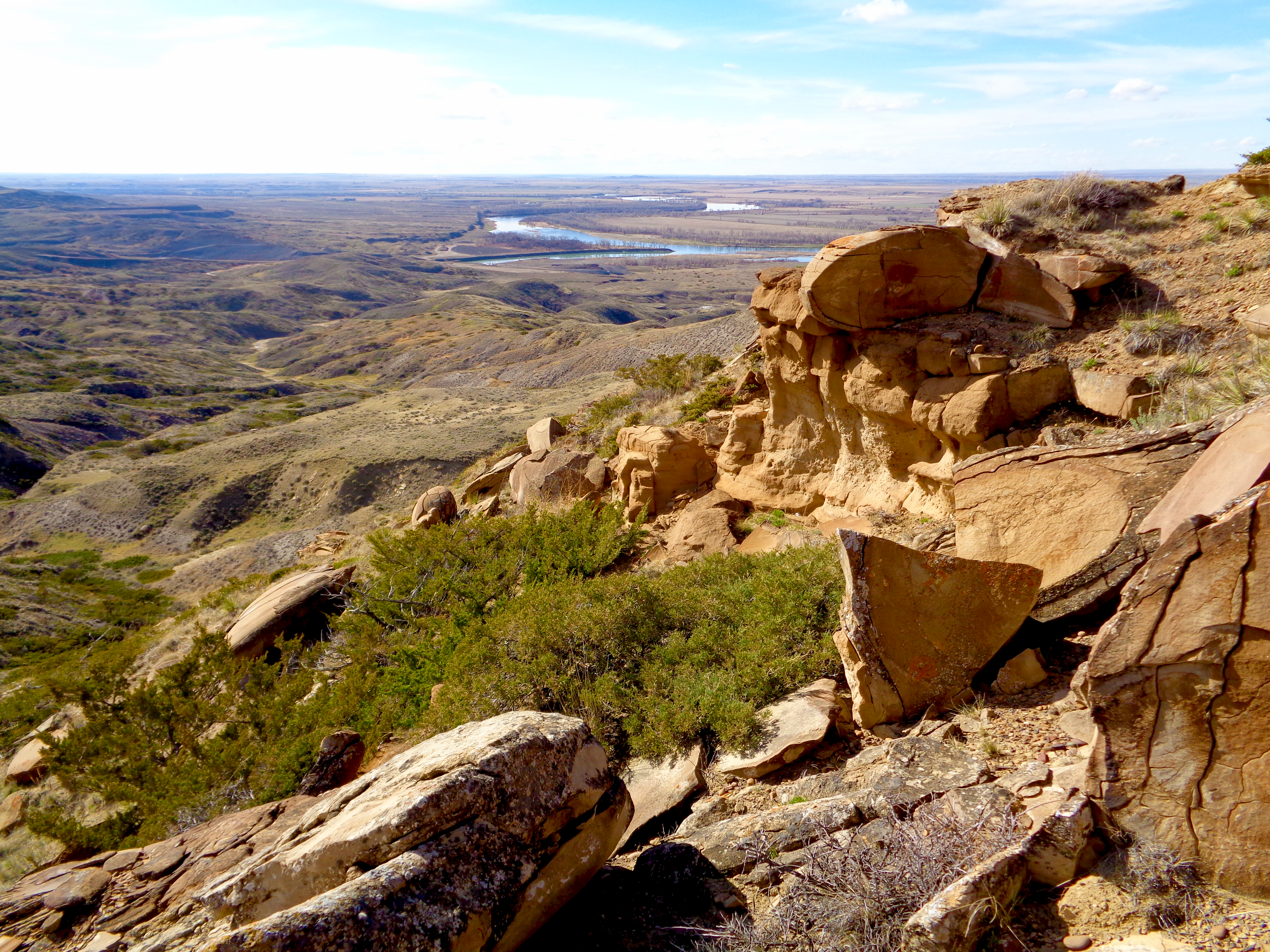
Milk River Confluence
Milk River Confluence
U.S. National Park Service
This digital asset is in the public domain. When publishing this asset for any use, including online, image must credit: Courtesy U.S. National Parks
Public domain
Image
Lewis and Clark National Historic Trail, Code: LECL
Lewis and Clark National Historic Trail
Latitude: 40.6641616821289, Longitude: -95.8320693969727
Latitude: 40.6641616821289, Longitude: -95.8320693969727
20180209
Public Can View
Organization: Lewis and Clark National Historic Trail
Address: 601 Riverfront Dr. , Omaha, NE, USA, 68102, (402) 661-1804
Email: lecl_information@nps.gov
Address: 601 Riverfront Dr. , Omaha, NE, USA, 68102, (402) 661-1804
Email: lecl_information@nps.gov
Wednesday, April 25, 2018 11:00:39 AM
Wednesday, April 25, 2018 11:00:39 AM
Milk River Confluence.JPG
jpg
15.2 MB
Scenic