Select Item below to DOWNLOAD - Once item is selected, right click and choose 'save as'
38bd8b70-bd37-41e3-8de3-7eca889f72f6
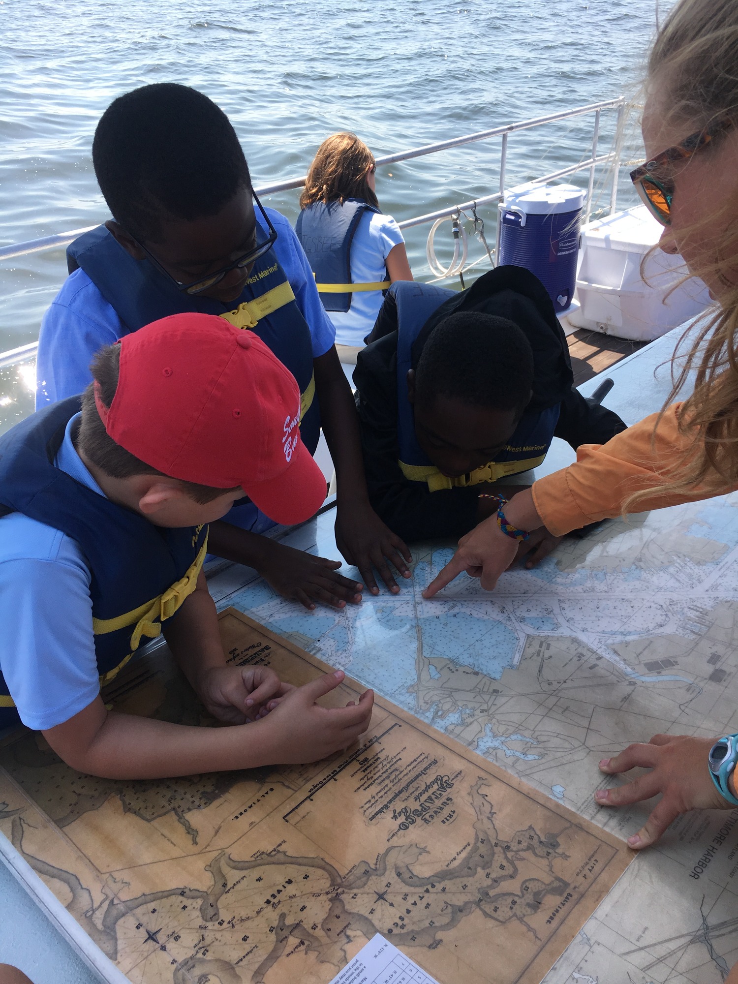
Mapping out Chesapeake history
Three children look at a map provided by a woman.
Star-Spangled National Historic Trail: The Star-Spangled Banner NHT Trail Stewards Program connects students and communities that live along the 560-mile Star-Spangled Banner National Historic Trail with historical events that happened in their backyards. The Trail weaves together land and water routes in Maryland, the District of Columbia, and Virginia telling the story of the War of 1812 in the Chesapeake, culminating at Fort McHenry with the writing of the “Star-Spangled Banner,” our national anthem.
Permission must be secured from the individual copyright owners to reproduce any copyrighted materials contained within this website. Digital assets without any copyright restrictions are public domain.
NPS Photo
Public domain:Full Granting Rights
Image
Star-Spangled Banner National Historic Trail, Code: STSP
Northeast Region, Code: NER
Northeast Region, Code: NER
Star-Spangled Banner National Historic Trail
Latitude: 38.7402992248535, Longitude: -76.7587966918945
Latitude: 38.7402992248535, Longitude: -76.7587966918945
09/12/2019
09/12/2019
Public Can View
Monday, December 23, 2019 12:53:36 PM
Monday, December 23, 2019 12:53:36 PM
STSP TrailStewards20190912_FSK-sail (1).jpg
jpg
3.0 MB
Scenic