Select Item below to DOWNLOAD - Once item is selected, right click and choose 'save as'
33cb2862-28f3-4edd-a7a2-98af8b6a16e5
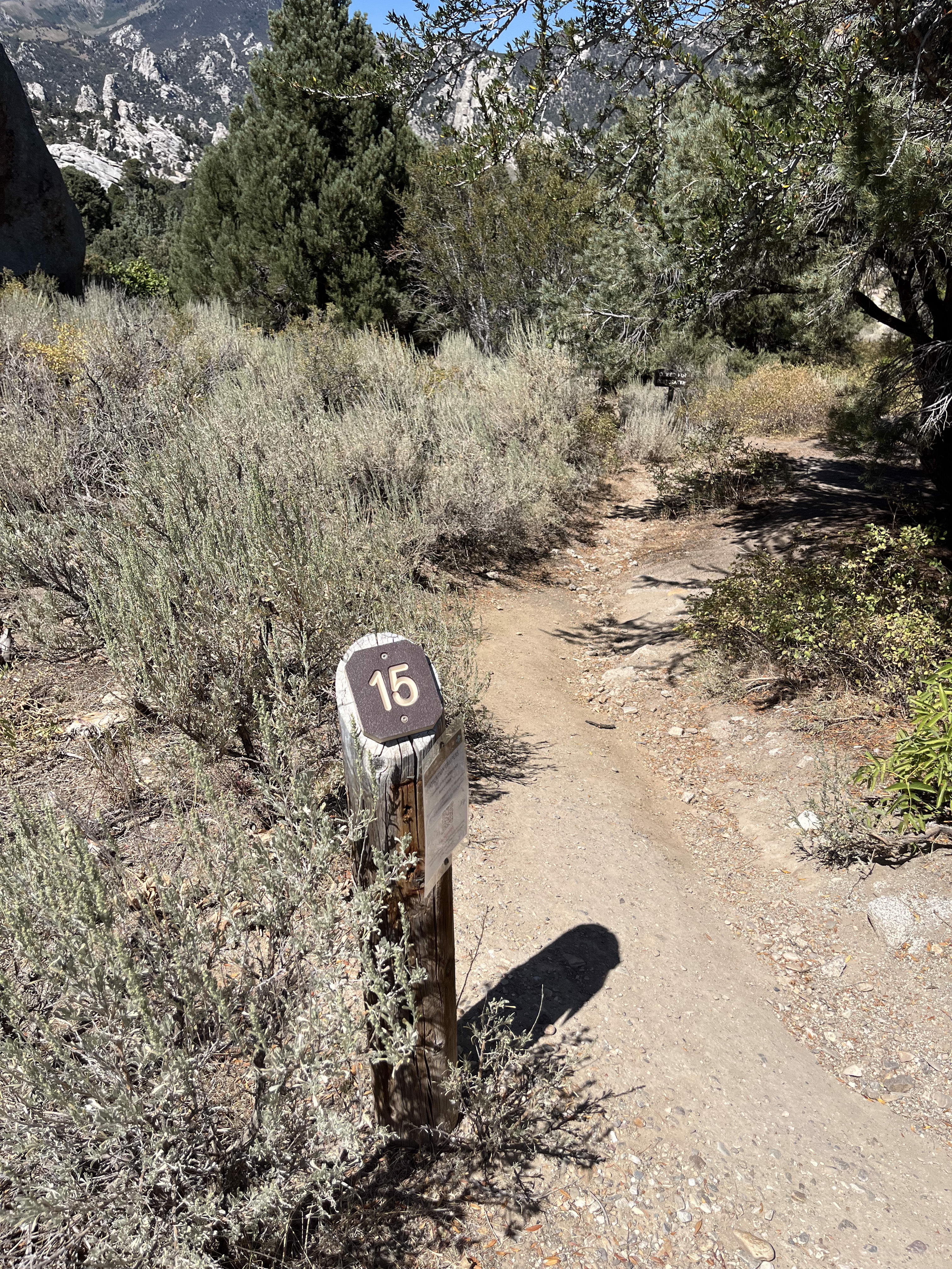
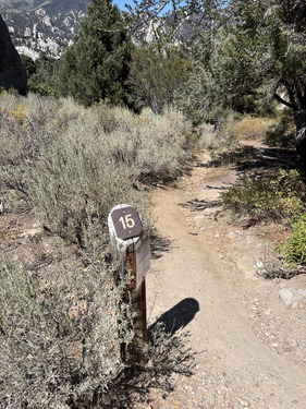
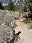
Campsite 15 marker
Campsite 15 marker post next to a trail next to a mahogany tree and granite boulder.
hike-in 193 ft, rock, tent pad 10x10 ft, very good shade
Permission must be secured from the individual copyright owners to reproduce any copyrighted materials contained within this website. Digital assets without any copyright restrictions are public domain.
Public domain:Full Granting Rights
Image
City of Rocks National Reserve, Code: CIRO
Latitude: 42.0725416666667, Longitude: -113.708244444444, Elevation: 1915.25739130435
City of Rocks National Reserve, Cassia County, Idaho
Latitude: 42.0699005126953, Longitude: -113.71199798584
City of Rocks National Reserve, Cassia County, Idaho
Latitude: 42.0699005126953, Longitude: -113.71199798584
05/23/2020
05/23/2020
Public Can View
Wednesday, May 12, 2021 2:29:27 PM
Monday, August 25, 2025 4:12:42 PM
# 15 (3).jpg
jpg
6.6 MB
Scenic