Select Item below to DOWNLOAD - Once item is selected, right click and choose 'save as'
32a5e5756b8d48649176ed8efb7a6811
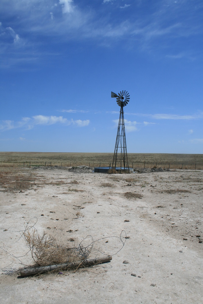
Windmill and barbed wire displays development impact sin Elkhart, KS.
A windmill in the middle of a field.
Dry ground around a windmill, unauthorized work; Stock tank built on top of SAFE swale before designation; recent unauthorized work to clear adjacent pond created further damage.
U.S. National Park Service
Destructive impact
Permission must be secured from the individual copyright owners to reproduce any copyrighted materials contained within this website.
Public domain
Kansas, (SanteFe Trail State)
Image
Santa Fe National Historic Trail, Code: SAFE
Elkhart ; Cimarron Grassland ; Destructive Impact Locations, Morton County, Kansas
Santa Fe National Historic Trail
Latitude: 37.9892997741699, Longitude: -99.3414993286133
Santa Fe National Historic Trail
Latitude: 37.9892997741699, Longitude: -99.3414993286133
20180428
04/28/2018
Shot On: Canon EOS DIGITAL REBEL XTi; Dimensions 1880 x 2816; Shot 1/250 sec. f/10 18mm; ISO 100; Size 2.2 MB
Public Can View
Organization: US National Park Service
Address: PO Box 728, Santa Fe, New Mexico 87504, Phone:(505) 988-6098
Email: ntir_information@NPS.gov
Address: PO Box 728, Santa Fe, New Mexico 87504, Phone:(505) 988-6098
Email: ntir_information@NPS.gov
Tuesday, November 3, 2020 3:43:28 PM
Tuesday, November 3, 2020 3:43:28 PM
SAFE_KS_Elkhart_DevelopmentImpactsOnNHTAtCimarronNationalGrasslands_20180428_NPS_(02).JPG
jpg
2.3 MB
Scenic
,
Historic